19710 N Kamiakin Trail Ln Colbert, WA 99005
Estimated Value: $635,000 - $784,000
4
Beds
4
Baths
3,166
Sq Ft
$227/Sq Ft
Est. Value
About This Home
This home is located at 19710 N Kamiakin Trail Ln, Colbert, WA 99005 and is currently estimated at $718,327, approximately $226 per square foot. 19710 N Kamiakin Trail Ln is a home located in Spokane County with nearby schools including Colbert Elementary School, Mountainside Middle School, and Mt. Spokane High School.
Ownership History
Date
Name
Owned For
Owner Type
Purchase Details
Closed on
Jun 24, 2009
Sold by
Peterson Lynn A
Bought by
Peterson Eric E
Current Estimated Value
Purchase Details
Closed on
Feb 11, 2002
Sold by
Peterson Eugene H and Peterson Janice S
Bought by
Peterson Eric Eugene and Peterson Lynn Ann
Purchase Details
Closed on
Jul 16, 1997
Sold by
Sander John S
Bought by
Peterson Eugene H and Peterson Janice S
Create a Home Valuation Report for This Property
The Home Valuation Report is an in-depth analysis detailing your home's value as well as a comparison with similar homes in the area
Home Values in the Area
Average Home Value in this Area
Purchase History
| Date | Buyer | Sale Price | Title Company |
|---|---|---|---|
| Peterson Eric E | -- | None Available | |
| Peterson Eric Eugene | -- | -- | |
| Peterson Eugene H | -- | Pacific Nw Title | |
| Sander John S | -- | Pacific Nw Title |
Source: Public Records
Tax History Compared to Growth
Tax History
| Year | Tax Paid | Tax Assessment Tax Assessment Total Assessment is a certain percentage of the fair market value that is determined by local assessors to be the total taxable value of land and additions on the property. | Land | Improvement |
|---|---|---|---|---|
| 2025 | $6,544 | $668,850 | $204,350 | $464,500 |
| 2024 | $6,544 | $647,800 | $199,500 | $448,300 |
| 2023 | $5,852 | $647,800 | $199,500 | $448,300 |
| 2022 | $5,475 | $644,600 | $212,800 | $431,800 |
| 2021 | $4,874 | $461,890 | $91,190 | $370,700 |
| 2020 | $4,812 | $432,590 | $91,190 | $341,400 |
| 2019 | $4,629 | $419,990 | $91,190 | $328,800 |
| 2018 | $5,015 | $381,790 | $81,190 | $300,600 |
| 2017 | $4,548 | $348,590 | $81,190 | $267,400 |
| 2016 | $3,742 | $280,460 | $66,160 | $214,300 |
| 2015 | $3,160 | $243,130 | $85,230 | $157,900 |
| 2014 | -- | $238,230 | $85,230 | $153,000 |
| 2013 | -- | $0 | $0 | $0 |
Source: Public Records
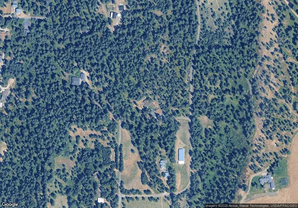
Map
Nearby Homes
- 20141 N Bernhill Rd
- NKA N Day Mount Spokane Rd
- NKA N Hardesty Rd
- 20016 N Sands Rd
- 8818 E Little Deep Creek Rd
- 17816 N Day Mt Spokane Rd
- NKA E Day Mt Spokane Rd Unit North Parcel
- 17323 N Lower Greenbluff Rd
- 6957 E Big Meadows Rd
- 16815 N Greenbluff Rd
- 16825 N Day Mt Spokane Rd
- 4913 E Kirk Ln
- 7011 E Big Meadows Rd
- 20012 N Halliday Rd
- 17310 N Sands Rd
- 000 N Northwood Dr
- 5024 E Ballard Rd
- NKA N Orchard Bluff Rd King Ln
- 0 E Orchard Bluff Rd Lot A Rd
- 3923 E Woolard Ct
- 19605 N Kamiakin Trail Ln
- 19509 N Kamiakin Trail Ln
- 19505 N Kamiakin Trail Ln
- 7911 E Cooper Ln
- 19501 N Kamiakin Trail Ln
- 19502 N Kamiakin Trail Ln
- 19115 N Dunn Rd
- 19720 N Bernhill Rd
- 19824 N Bernhill Rd
- 7704 E Cooper Ln
- 7707 E Cooper Ln
- 20102 N Kamiakin Trail Ln
- 7915 E Cooper Ln
- 20115 N Dunn Rd
- 19424 N Bernhill Rd
- 8121 E Bernhill Rd
- 20020 N Bernhill Rd
- 19610 N Bernhill Rd
- 20110 N Bernhill Rd
- 7923 E Bernhill Rd