1972 State Rd Eliot, ME 03903
East Eliot NeighborhoodEstimated Value: $639,765 - $750,000
3
Beds
3
Baths
1,820
Sq Ft
$377/Sq Ft
Est. Value
About This Home
This home is located at 1972 State Rd, Eliot, ME 03903 and is currently estimated at $685,441, approximately $376 per square foot. 1972 State Rd is a home located in York County with nearby schools including Marshwood High School and Seacoast Waldorf School.
Create a Home Valuation Report for This Property
The Home Valuation Report is an in-depth analysis detailing your home's value as well as a comparison with similar homes in the area
Home Values in the Area
Average Home Value in this Area
Tax History
| Year | Tax Paid | Tax Assessment Tax Assessment Total Assessment is a certain percentage of the fair market value that is determined by local assessors to be the total taxable value of land and additions on the property. | Land | Improvement |
|---|---|---|---|---|
| 2024 | $6,269 | $529,000 | $140,600 | $388,400 |
| 2023 | $6,012 | $490,800 | $134,500 | $356,300 |
| 2022 | $5,745 | $474,800 | $134,500 | $340,300 |
| 2021 | $4,733 | $350,600 | $124,400 | $226,200 |
| 2020 | $4,851 | $330,000 | $119,300 | $210,700 |
| 2019 | $4,851 | $330,000 | $119,300 | $210,700 |
| 2018 | $4,851 | $330,000 | $119,300 | $210,700 |
| 2017 | $4,719 | $330,000 | $119,300 | $210,700 |
| 2016 | $4,637 | $330,000 | $119,300 | $210,700 |
| 2015 | $4,620 | $330,000 | $119,300 | $210,700 |
| 2014 | $4,554 | $330,000 | $119,300 | $210,700 |
| 2013 | $4,346 | $330,000 | $119,300 | $210,700 |
Source: Public Records
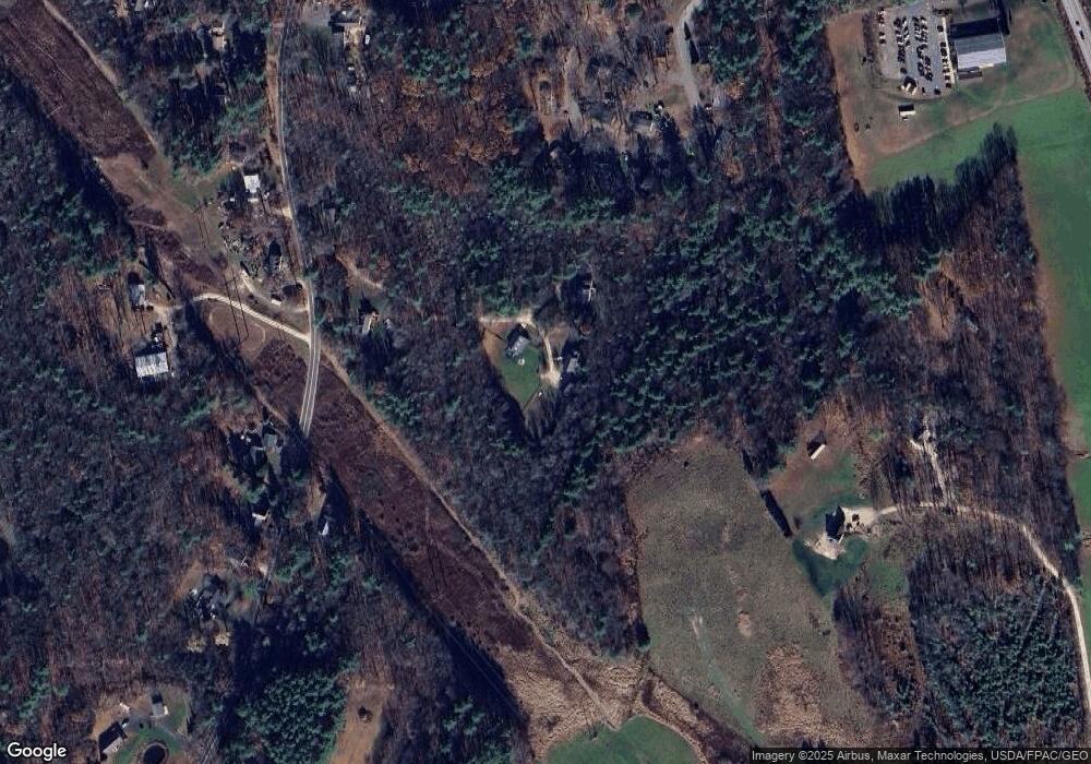
Map
Nearby Homes
- Lot 2 Cedar Tbd
- 25 Heritage Dr
- 10 Pasture Hill Dr
- TBD Pasture Hill Dr
- 116 Heron Cove Rd
- 708 River Rd Unit 2
- 708 River Rd Unit 3
- 65 Wildbrook Ln
- 25 Fosters Dr
- 6 Isaac Lucas Cir
- 220 Dover Point Rd
- 69 Polly Ann Trailer Park
- 16 Polly Ann Park
- Slip B18 Little Bay
- 21 Clearwater Dr
- 14 Independence Dr
- 1 Independence Dr
- 51 Constitution Way
- 6 Revolution Dr
- 55 Pointe Place Unit 108
Your Personal Tour Guide
Ask me questions while you tour the home.