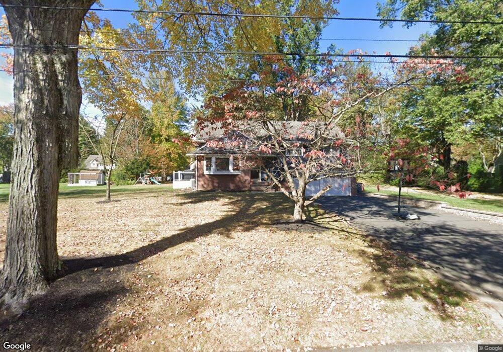
1973 Duncan Dr Scotch Plains, NJ 07076
Estimated Value: $772,714 - $1,255,000
4
Beds
2
Baths
1,942
Sq Ft
$550/Sq Ft
Est. Value
About This Home
This home is located at 1973 Duncan Dr, Scotch Plains, NJ 07076 and is currently estimated at $1,068,179, approximately $550 per square foot. 1973 Duncan Dr is a home located in Union County with nearby schools including William J. McGinn Elementary School, Terrill Middle School, and Scotch Plains-Fanwood High School.
Ownership History
Date
Name
Owned For
Owner Type
Purchase Details
Closed on
Apr 25, 2017
Sold by
Marta Thomas Joseph and Stryker Melissa
Bought by
Paz Carlos E and Paz Kimberly A
Current Estimated Value
Home Financials for this Owner
Home Financials are based on the most recent Mortgage that was taken out on this home.
Original Mortgage
$440,000
Interest Rate
4.23%
Mortgage Type
Purchase Money Mortgage
Purchase Details
Closed on
May 9, 1996
Sold by
Ganss Arthur E and Ganss Dawn S
Bought by
Molinaro Philip A and Molinaro Karen
Create a Home Valuation Report for This Property
The Home Valuation Report is an in-depth analysis detailing your home's value as well as a comparison with similar homes in the area
Home Values in the Area
Average Home Value in this Area
Purchase History
| Date | Buyer | Sale Price | Title Company |
|---|---|---|---|
| Paz Carlos E | $655,000 | None Available | |
| Molinaro Philip A | $272,000 | -- |
Source: Public Records
Mortgage History
| Date | Status | Borrower | Loan Amount |
|---|---|---|---|
| Closed | Paz Carlos E | $440,000 |
Source: Public Records
Tax History Compared to Growth
Tax History
| Year | Tax Paid | Tax Assessment Tax Assessment Total Assessment is a certain percentage of the fair market value that is determined by local assessors to be the total taxable value of land and additions on the property. | Land | Improvement |
|---|---|---|---|---|
| 2025 | $16,699 | $141,900 | $53,100 | $88,800 |
| 2024 | $16,206 | $141,900 | $53,100 | $88,800 |
| 2023 | $16,206 | $141,900 | $53,100 | $88,800 |
| 2022 | $16,013 | $141,900 | $53,100 | $88,800 |
| 2021 | $15,986 | $141,900 | $53,100 | $88,800 |
| 2020 | $15,910 | $141,900 | $53,100 | $88,800 |
| 2019 | $15,792 | $141,900 | $53,100 | $88,800 |
| 2018 | $15,527 | $141,900 | $53,100 | $88,800 |
| 2017 | $15,182 | $141,900 | $53,100 | $88,800 |
| 2016 | $14,890 | $141,900 | $53,100 | $88,800 |
| 2015 | $14,646 | $141,900 | $53,100 | $88,800 |
| 2014 | $14,163 | $141,900 | $53,100 | $88,800 |
Source: Public Records
Map
Nearby Homes
- 2 Brookside Ct
- 1466 Lamberts Mill Rd
- 1972 W Broad St
- 2154 W Broad St
- 119 Lamberts Mill Rd
- 314 Highgate Ave
- 2 Dutch Ln
- 1933 W Broad St
- 1933 Mary Ellen Ln
- 57 Rambling Dr
- 2116 Newark Ave
- 2 Unami Ln
- 525 Edgar Rd
- 524 Edgar Rd
- 614 Dorian Rd
- 1148 Tanglewood Ln
- 187 King St
- 1840 Raritan Rd
- 1380 Terrill Rd
- 1840 Lake Ave
- 1981 Duncan Dr
- 1965 Duncan Dr
- 2012 Parkwood Dr
- 2022 Parkwood Dr
- 2002 Parkwood Dr
- 1989 Duncan Dr
- 2032 Parkwood Dr
- 1974 Duncan Dr
- 1957 Duncan Dr
- 1966 Duncan Dr
- 1992 Parkwood Dr
- 2042 Parkwood Dr
- 1997 Duncan Dr
- 1958 Duncan Dr
- 2011 Parkwood Dr
- 2021 Parkwood Dr
- 1991 Wood Rd
- 2001 Parkwood Dr
- 1985 Wood Rd
- 2031 Parkwood Dr