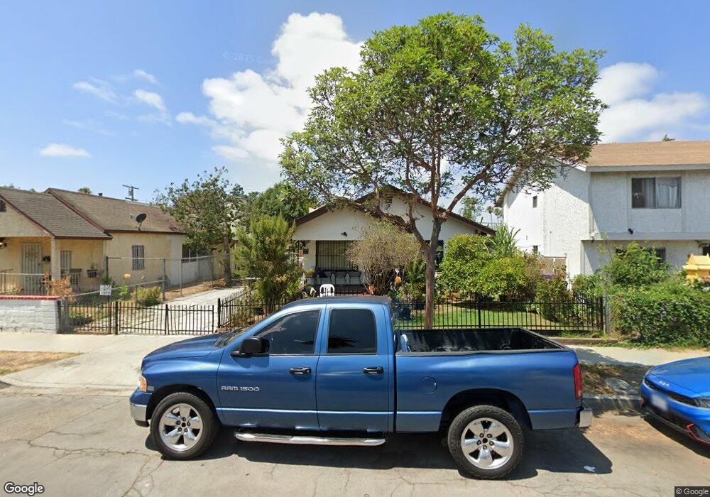
1973 Myrtle Ave Long Beach, CA 90806
Sunrise NeighborhoodEstimated Value: $903,944 - $1,057,000
5
Beds
4
Baths
2,890
Sq Ft
$340/Sq Ft
Est. Value
About This Home
This home is located at 1973 Myrtle Ave, Long Beach, CA 90806 and is currently estimated at $981,736, approximately $339 per square foot. 1973 Myrtle Ave is a home located in Los Angeles County with nearby schools including Bobbie Smith Elementary, Nelson Academy, and Long Beach Polytechnic High School.
Ownership History
Date
Name
Owned For
Owner Type
Purchase Details
Closed on
Mar 2, 2001
Sold by
Neth Sovanna and Oeurn Sovanna
Bought by
Rivera Rosa and Rivera Eliazar
Current Estimated Value
Home Financials for this Owner
Home Financials are based on the most recent Mortgage that was taken out on this home.
Original Mortgage
$235,307
Interest Rate
7.24%
Mortgage Type
FHA
Purchase Details
Closed on
Mar 17, 2000
Sold by
Oeurn Aaron S
Bought by
Oeurn Sovanna
Create a Home Valuation Report for This Property
The Home Valuation Report is an in-depth analysis detailing your home's value as well as a comparison with similar homes in the area
Home Values in the Area
Average Home Value in this Area
Purchase History
| Date | Buyer | Sale Price | Title Company |
|---|---|---|---|
| Rivera Rosa | $239,000 | American Title Co | |
| Oeurn Sovanna | -- | -- |
Source: Public Records
Mortgage History
| Date | Status | Borrower | Loan Amount |
|---|---|---|---|
| Previous Owner | Rivera Rosa | $235,307 |
Source: Public Records
Tax History
| Year | Tax Paid | Tax Assessment Tax Assessment Total Assessment is a certain percentage of the fair market value that is determined by local assessors to be the total taxable value of land and additions on the property. | Land | Improvement |
|---|---|---|---|---|
| 2025 | $5,184 | $353,049 | $132,943 | $220,106 |
| 2024 | $5,184 | $346,128 | $130,337 | $215,791 |
| 2023 | $5,092 | $339,342 | $127,782 | $211,560 |
| 2022 | $4,800 | $332,689 | $125,277 | $207,412 |
| 2021 | $4,686 | $326,167 | $122,821 | $203,346 |
| 2020 | $4,673 | $323,263 | $121,562 | $201,701 |
| 2019 | $4,620 | $316,934 | $119,179 | $197,755 |
| 2018 | $4,407 | $310,730 | $116,843 | $193,887 |
| 2016 | $4,052 | $298,242 | $112,306 | $185,936 |
| 2015 | $3,901 | $293,764 | $110,620 | $183,144 |
| 2014 | $3,895 | $288,011 | $108,454 | $179,557 |
Source: Public Records
Map
Nearby Homes
- 925 E 19th St
- 1941 Olive Ave
- 1876 Myrtle Ave
- 910 E 19th St
- 1030 E 21st St
- 2123 Atlantic Ave
- 2051 Orange Ave
- 1204 E Smith Place
- 410 E 21st St
- 1211 E Leigh Ct
- 1339 E Wesley Dr
- 302 E 19th St Unit 7
- 405 E Esther St
- 1000 E Burnett St
- 2366 Linden Ave
- 1868 Locust Ave
- 1216 E Barcelona Place
- 2310 Elm Ave
- 412 E 16th St
- 1757 Long Beach Blvd
- 1965 Myrtle Ave
- 1985 Myrtle Ave
- 822 E 20th St
- 1972 Olive Ave
- 1964 Olive Ave
- 1982 Olive Ave
- 1953 Myrtle Ave
- 1960 Olive Ave
- 1990 Olive Ave
- 832 E 20th St Unit 832
- 1990 Myrtle Ave
- 1978 Myrtle Ave
- 1984 Myrtle Ave
- 1945 Myrtle Ave
- 1950 Olive Ave
- 2001 Myrtle Ave
- 823 E 20th St
- 1960 Myrtle Ave
- 1935 Myrtle Ave
Your Personal Tour Guide
Ask me questions while you tour the home.