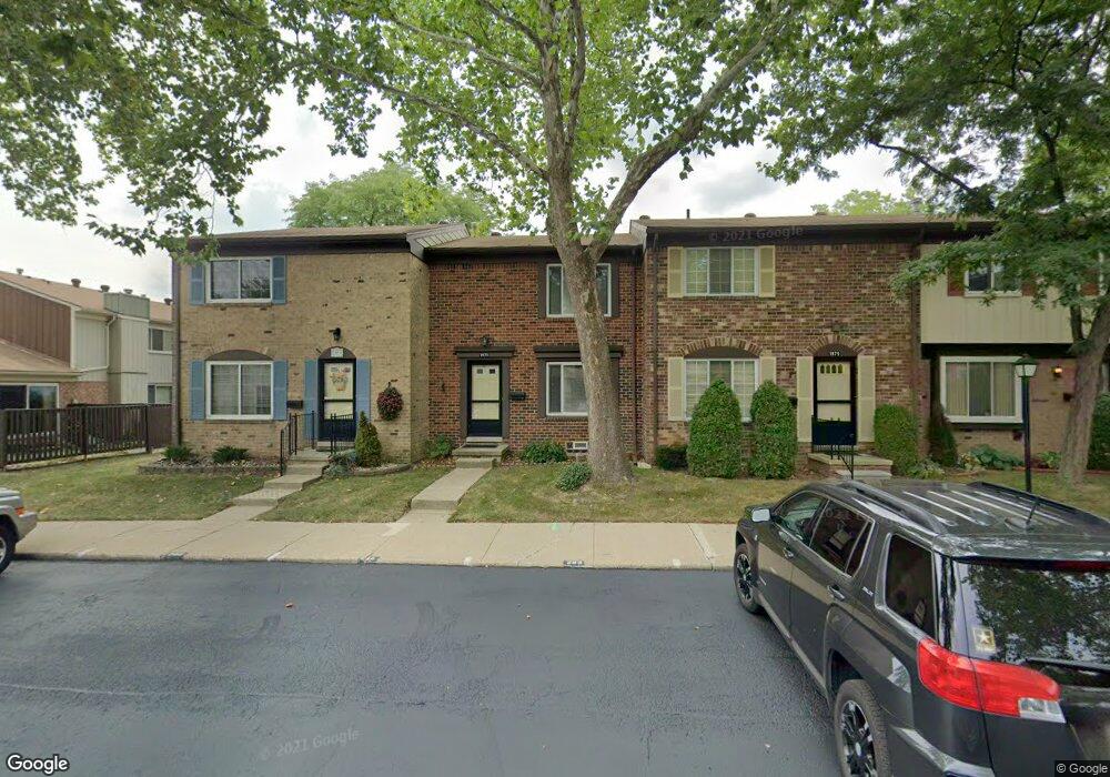
1973 Seabright Ct Unit 43, 285 Royal Oak, MI 48073
Estimated Value: $239,000 - $246,000
3
Beds
2
Baths
1,280
Sq Ft
$190/Sq Ft
Est. Value
About This Home
This home is located at 1973 Seabright Ct Unit 43, 285, Royal Oak, MI 48073 and is currently estimated at $242,663, approximately $189 per square foot. 1973 Seabright Ct Unit 43, 285 is a home located in Oakland County with nearby schools including Alfred E. Upton Elementary School, Royal Oak Middle School, and Royal Oak High School.
Ownership History
Date
Name
Owned For
Owner Type
Purchase Details
Closed on
Aug 9, 2023
Sold by
Narula Vikram and Narula Shoma
Bought by
Trivax Emma
Current Estimated Value
Home Financials for this Owner
Home Financials are based on the most recent Mortgage that was taken out on this home.
Original Mortgage
$189,600
Outstanding Balance
$185,169
Interest Rate
6.9%
Estimated Equity
$57,494
Purchase Details
Closed on
Sep 13, 2004
Sold by
Hoard Patricia A and Kinsey Euel W
Bought by
Narula Vikram and Pal Shoma
Purchase Details
Closed on
Mar 15, 1999
Sold by
Feltner Charles D
Bought by
Hoard Patricia A
Home Financials for this Owner
Home Financials are based on the most recent Mortgage that was taken out on this home.
Original Mortgage
$94,000
Interest Rate
7.1%
Purchase Details
Closed on
Jan 23, 1998
Sold by
Daniels James
Bought by
Feltner Charles D
Create a Home Valuation Report for This Property
The Home Valuation Report is an in-depth analysis detailing your home's value as well as a comparison with similar homes in the area
Home Values in the Area
Average Home Value in this Area
Purchase History
| Date | Buyer | Sale Price | Title Company |
|---|---|---|---|
| Trivax Emma | $237,000 | Partners Title | |
| Narula Vikram | $157,000 | Metropolitan Title Company | |
| Hoard Patricia A | -- | -- | |
| Feltner Charles D | $105,600 | -- |
Source: Public Records
Mortgage History
| Date | Status | Borrower | Loan Amount |
|---|---|---|---|
| Open | Trivax Emma | $189,600 | |
| Previous Owner | Hoard Patricia A | $94,000 |
Source: Public Records
Tax History Compared to Growth
Tax History
| Year | Tax Paid | Tax Assessment Tax Assessment Total Assessment is a certain percentage of the fair market value that is determined by local assessors to be the total taxable value of land and additions on the property. | Land | Improvement |
|---|---|---|---|---|
| 2024 | $2,860 | $97,320 | $0 | $0 |
| 2022 | $2,403 | $80,630 | $0 | $0 |
| 2020 | $2,125 | $70,940 | $0 | $0 |
| 2018 | $2,403 | $60,530 | $0 | $0 |
| 2017 | $2,183 | $60,530 | $0 | $0 |
| 2015 | -- | $43,340 | $0 | $0 |
| 2014 | -- | $42,680 | $0 | $0 |
| 2011 | -- | $37,180 | $0 | $0 |
Source: Public Records
Map
Nearby Homes
- 1805 Wickham St Unit 154
- 2134 Wickham St
- 1936 Torquay Ave Unit 205
- 1823 Torquay Ave
- 496 Langley Blvd
- 851 N Webik Ave
- 4921 N Crooks Rd Unit N-10
- 4909 Crooks Rd Unit C7
- 4909 Crooks Rd Unit E8
- 4909 Crooks Rd Unit 4
- 4921 Crooks Rd Unit M-10
- 2425 Torquay Ave Unit 101A
- 2440 Parmenter Blvd Unit 112
- 2420 Parmenter Blvd Unit 101
- 4859 Mansfield Ave Unit H5
- 4830 Briarwood Ave Unit 2
- 4820 Briarwood Ave Unit 4
- 4840 Briarwood Ave Unit 8
- 846 Phillips Ave
- 908 W Elmwood Ave
- 1743 Wickham St Unit 164
- 1878 Newporte Ct Unit 243
- 4908 Cara Ct Unit 347
- 2104 Wickham St Unit 10
- 1986 Ridge Ct Unit 221
- 1996 Seabright Ct Unit 294
- 4937 Cara Ct Unit 333
- 1888 Newporte Ct Unit 237
- 2042 Wickham St Unit 19
- 1884 Newporte Ct Unit 241
- 1784 Wickham St Unit 95
- 1884 Newporte Ct Unit 32, 241
- 1826 Shire Ct Unit Bldg-Unit
- 1834 Wickham St Unit Bldg-Unit
- 2120 Wickham St Unit Bldg-Unit
- 1882 Wickham St Unit Bldg-Unit
- 1806 Torquay Ave Unit Bldg-Unit
- 1876 Wickham St Unit 11, 69
- 2056 Wickham St Unit 3, 34
- 1815 Wickham St Unit 19 1815