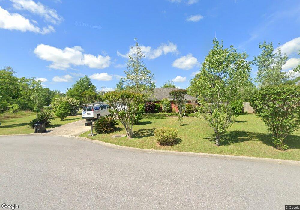
19735 Boulder Ln Robertsdale, AL 36567
Estimated Value: $232,693 - $260,000
3
Beds
2
Baths
1,318
Sq Ft
$188/Sq Ft
Est. Value
About This Home
This home is located at 19735 Boulder Ln, Robertsdale, AL 36567 and is currently estimated at $247,173, approximately $187 per square foot. 19735 Boulder Ln is a home located in Baldwin County with nearby schools including Robertsdale Elementary School, Central Baldwin Middle School, and Robertsdale High School.
Ownership History
Date
Name
Owned For
Owner Type
Purchase Details
Closed on
Aug 25, 2010
Sold by
The Secretary Of Veterans Affairs
Bought by
Chaillot James Craig and Chaillot Janet Lynn
Current Estimated Value
Purchase Details
Closed on
May 25, 2010
Sold by
Wells Fargo Bank N A
Bought by
The Secretary Of Veterans Affairs
Purchase Details
Closed on
May 24, 2010
Sold by
Hightower James Brian
Bought by
Wells Fargo Bank N A
Purchase Details
Closed on
Jul 21, 2006
Sold by
Holland Jamie Aaron and Holland Rebekah Henley
Bought by
Hightower James Brian
Home Financials for this Owner
Home Financials are based on the most recent Mortgage that was taken out on this home.
Original Mortgage
$165,738
Interest Rate
6.68%
Mortgage Type
VA
Create a Home Valuation Report for This Property
The Home Valuation Report is an in-depth analysis detailing your home's value as well as a comparison with similar homes in the area
Home Values in the Area
Average Home Value in this Area
Purchase History
| Date | Buyer | Sale Price | Title Company |
|---|---|---|---|
| Chaillot James Craig | -- | None Available | |
| The Secretary Of Veterans Affairs | -- | None Available | |
| Wells Fargo Bank N A | $89,893 | None Available | |
| Hightower James Brian | -- | None Available |
Source: Public Records
Mortgage History
| Date | Status | Borrower | Loan Amount |
|---|---|---|---|
| Previous Owner | Hightower James Brian | $165,738 |
Source: Public Records
Tax History Compared to Growth
Tax History
| Year | Tax Paid | Tax Assessment Tax Assessment Total Assessment is a certain percentage of the fair market value that is determined by local assessors to be the total taxable value of land and additions on the property. | Land | Improvement |
|---|---|---|---|---|
| 2024 | $622 | $18,520 | $2,760 | $15,760 |
| 2023 | $598 | $17,860 | $3,260 | $14,600 |
| 2022 | $512 | $15,480 | $0 | $0 |
| 2021 | $408 | $13,600 | $0 | $0 |
| 2020 | $387 | $13,100 | $0 | $0 |
| 2019 | $369 | $12,540 | $0 | $0 |
| 2018 | $346 | $11,860 | $0 | $0 |
| 2017 | $318 | $11,000 | $0 | $0 |
| 2016 | $307 | $10,660 | $0 | $0 |
| 2015 | -- | $10,400 | $0 | $0 |
| 2014 | -- | $9,920 | $0 | $0 |
| 2013 | -- | $9,900 | $0 | $0 |
Source: Public Records
Map
Nearby Homes
- 19885 Boulder Ln
- 158 N Wren Ln
- 0 Us Highway 90 Unit 76ac 384638
- 23080 Rochelle Loop
- 00 Highway 90 Unit LOT 1
- 21239 Highway 90
- 22640 Adams Dr
- 23447 N Frances St
- 23228 Rochelle Loop
- 138 Eagles Loop
- 23575 Fountain St
- 19211 Hughen St
- 5 Fountain St Unit 5
- 3 Fountain St Unit 3
- 22754 Circle Dr
- 2000 Plan at Forest Park
- 1348 Plan at Forest Park
- 23530 County Road 71
- 22633 Thatch St
- 18950 Pecan Ln
- 19745 Boulder Ln
- 19809 Coral Ln
- 19812 Sandstone Ln
- 19755 Boulder Ln
- 19820 Coral Ln
- 19750 Boulder Ln
- 19800 Coral Ln
- 19765 Boulder Ln
- 19860 Southfield Dr
- 19775 Coral Ln
- 19780 Sandstone Ln
- 19780 Coral Ln
- 19815 Sandstone Ln
- 19835 Southfield Dr
- 19760 Coral Ln
- 19870 Southfield Dr
- 19775 Boulder Ln
- 19795 Sandstone Ln
- 19755 Coral Ln
- 19760 Sandstone Ln