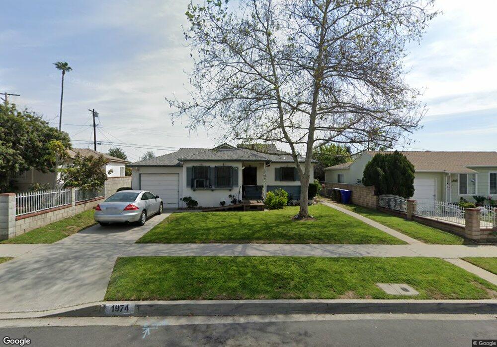
1974 Broach Ave Duarte, CA 91010
Estimated Value: $625,000 - $711,000
2
Beds
1
Bath
764
Sq Ft
$861/Sq Ft
Est. Value
About This Home
This home is located at 1974 Broach Ave, Duarte, CA 91010 and is currently estimated at $657,510, approximately $860 per square foot. 1974 Broach Ave is a home located in Los Angeles County with nearby schools including Beardslee Dual Language Immersion Academy (Pk-8) and Duarte High School.
Ownership History
Date
Name
Owned For
Owner Type
Purchase Details
Closed on
Apr 25, 2002
Sold by
Clemens Betty J and The Clemens Living Trust
Bought by
Millan Freddy
Current Estimated Value
Home Financials for this Owner
Home Financials are based on the most recent Mortgage that was taken out on this home.
Original Mortgage
$145,600
Outstanding Balance
$60,444
Interest Rate
6.83%
Estimated Equity
$597,066
Create a Home Valuation Report for This Property
The Home Valuation Report is an in-depth analysis detailing your home's value as well as a comparison with similar homes in the area
Home Values in the Area
Average Home Value in this Area
Purchase History
| Date | Buyer | Sale Price | Title Company |
|---|---|---|---|
| Millan Freddy | $182,000 | Southland Title |
Source: Public Records
Mortgage History
| Date | Status | Borrower | Loan Amount |
|---|---|---|---|
| Open | Millan Freddy | $145,600 | |
| Closed | Millan Freddy | $21,400 |
Source: Public Records
Tax History Compared to Growth
Tax History
| Year | Tax Paid | Tax Assessment Tax Assessment Total Assessment is a certain percentage of the fair market value that is determined by local assessors to be the total taxable value of land and additions on the property. | Land | Improvement |
|---|---|---|---|---|
| 2025 | $4,034 | $272,857 | $203,264 | $69,593 |
| 2024 | $4,034 | $267,508 | $199,279 | $68,229 |
| 2023 | $3,924 | $262,264 | $195,372 | $66,892 |
| 2022 | $3,832 | $257,123 | $191,542 | $65,581 |
| 2021 | $3,787 | $252,083 | $187,787 | $64,296 |
| 2019 | $3,492 | $244,608 | $182,218 | $62,390 |
| 2018 | $3,375 | $239,813 | $178,646 | $61,167 |
| 2016 | $3,230 | $230,503 | $171,710 | $58,793 |
| 2015 | $3,163 | $227,041 | $169,131 | $57,910 |
| 2014 | $3,138 | $222,594 | $165,818 | $56,776 |
Source: Public Records
Map
Nearby Homes
- 2047 Delford Ave
- 1823 Broadland Ave
- 1900 Mountain Ave
- 874 Cinnamon Ln Unit 62
- 826 Cinnamon Ln
- 1619 Shepherd Dr
- 2024 Mountain Ave
- 2048 Felberg Ave
- 1214 Huntington Dr Unit I
- 1245 Oliva Ct
- 918 Huntington Dr Unit O
- 2112 California Ave
- 1035 E Huntington Dr Unit 28
- 1408 S California Ave Unit C
- 1406 S California Ave Unit C
- 1020 S Mountain Ave Unit 15
- 1000 Cabrillo Dr
- 322 Joella St
- 237 Los Angeles Ave
- 1672 3rd St
- 1980 Broach Ave
- 1970 Broach Ave
- 1984 Broach Ave
- 2023 Starhaven St
- 2029 Starhaven St
- 1964 Broach Ave
- 2035 Starhaven St
- 1990 Broach Ave
- 2003 Broadland Ave
- 1971 Broach Ave
- 1961 Broadland Ave
- 1952 Broach Ave
- 2041 Starhaven St
- 1948 Bradbury Ave
- 2009 Broadland Ave
- 1963 Broach Ave
- 2004 Broach Ave
- 1955 Broadland Ave
- 2045 Starhaven St
- 1940 Broach Ave