1974 N 3189th Rd Ottawa, IL 61350
Estimated Value: $358,000 - $463,936
4
Beds
4
Baths
1,830
Sq Ft
$232/Sq Ft
Est. Value
About This Home
This home is located at 1974 N 3189th Rd, Ottawa, IL 61350 and is currently estimated at $424,234, approximately $231 per square foot. 1974 N 3189th Rd is a home located in LaSalle County with nearby schools including Wallace Elementary School and Ottawa Township High School.
Ownership History
Date
Name
Owned For
Owner Type
Purchase Details
Closed on
Jul 12, 2019
Sold by
Nelson Matthew and Petronia Nelson Trust
Bought by
Wuethrich Sean and Gosein Shivani
Current Estimated Value
Home Financials for this Owner
Home Financials are based on the most recent Mortgage that was taken out on this home.
Original Mortgage
$219,920
Outstanding Balance
$192,907
Interest Rate
3.88%
Mortgage Type
New Conventional
Estimated Equity
$231,327
Purchase Details
Closed on
Sep 28, 2007
Sold by
Nelson Carl H
Bought by
Nelson Carl H and Nelson Petronia
Create a Home Valuation Report for This Property
The Home Valuation Report is an in-depth analysis detailing your home's value as well as a comparison with similar homes in the area
Home Values in the Area
Average Home Value in this Area
Purchase History
| Date | Buyer | Sale Price | Title Company |
|---|---|---|---|
| Wuethrich Sean | $275,000 | None Available | |
| Nelson Carl H | -- | None Available |
Source: Public Records
Mortgage History
| Date | Status | Borrower | Loan Amount |
|---|---|---|---|
| Open | Wuethrich Sean | $219,920 |
Source: Public Records
Tax History Compared to Growth
Tax History
| Year | Tax Paid | Tax Assessment Tax Assessment Total Assessment is a certain percentage of the fair market value that is determined by local assessors to be the total taxable value of land and additions on the property. | Land | Improvement |
|---|---|---|---|---|
| 2024 | $10,858 | $149,516 | $16,273 | $133,243 |
| 2023 | $9,159 | $124,593 | $14,374 | $110,219 |
| 2022 | $8,505 | $114,211 | $13,176 | $101,035 |
| 2021 | $7,915 | $105,575 | $12,180 | $93,395 |
| 2020 | $7,887 | $105,575 | $12,180 | $93,395 |
| 2019 | $7,867 | $104,138 | $12,014 | $92,124 |
| 2018 | $5,115 | $97,370 | $11,233 | $86,137 |
| 2017 | $5,098 | $92,636 | $10,687 | $81,949 |
| 2016 | $5,066 | $89,047 | $10,273 | $78,774 |
| 2015 | $3,011 | $86,181 | $21,545 | $64,636 |
| 2012 | -- | $88,016 | $22,004 | $66,012 |
Source: Public Records
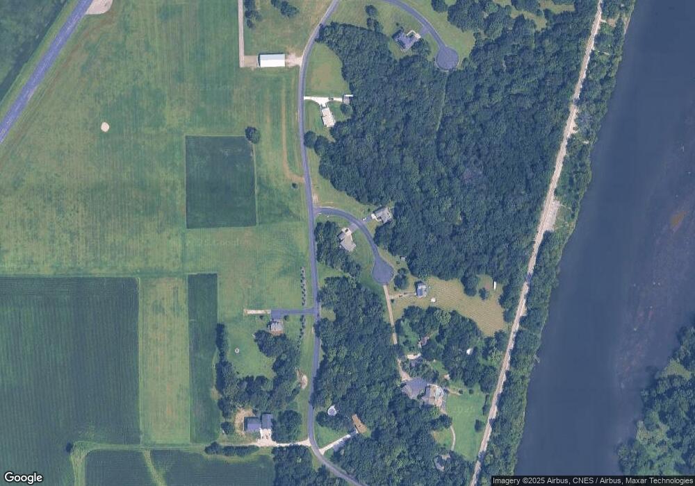
Map
Nearby Homes
- 1977 N Rd
- 1986 N 3103rd Rd
- 3115 E 1942nd Rd
- 2000 N 3103rd Rd
- 1982 N 3103rd Rd
- 3369 E 2059th Rd
- 801 E Etna Rd
- 2804 Turnberry Dr
- Lots 2 and 3 E Etna Rd
- 0000 Caleb Dr
- 3307 N State Route 23
- 2520 Champlain St
- 1771 N 2959th Rd
- 2500 Beverly Way
- 2707 Columbus St
- 000 Kain St
- 2102 Franklin Ave
- 2103 Franklin Ave
- 2063 N 35th Rd
- 412 Deer Timber Ln
- 3192 E 1969th Rd
- 1974 N 3189 Rd
- 1974 N 3189th Rd
- 1975 N 3189th Rd
- 1979 N 3189th Rd
- 3183 E 1969th Rd
- 1985 N 3189th Rd
- 1985 N 3189th Rd
- 3202 E 1969th Rd
- 3176 E 1969th Rd
- 3186 E 1969th Rd
- 1988 N 3189th Rd
- 0 1969 Rd Unit 9781831
- 0 1969 Rd Unit 7571336
- 0 1969 Rd Unit 9305718
- 3177 E 1969th Rd
- 3129 E 1969th Rd
- 3206 E 19th Rd
- 3122 E 1969th Rd
- 3202 E 19th Rd