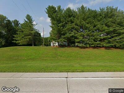
1974 Us Highway 67 Meredosia, IL 62665
Estimated Value: $210,428 - $293,000
--
Bed
--
Bath
--
Sq Ft
8
Acres
About This Home
This home is located at 1974 Us Highway 67, Meredosia, IL 62665 and is currently estimated at $243,143. 1974 Us Highway 67 is a home located in Morgan County with nearby schools including Meredosia-Chambersburg Elementary School, Meredosia-Chambersburg Junior High School, and Meredosia-Chambersburg High School.
Ownership History
Date
Name
Owned For
Owner Type
Purchase Details
Closed on
Jan 19, 2021
Sold by
Ehlert Karen J and Ehlert Karen J
Bought by
Seckman Douglas E and Seckman Iris E
Current Estimated Value
Home Financials for this Owner
Home Financials are based on the most recent Mortgage that was taken out on this home.
Original Mortgage
$100,000
Interest Rate
3.37%
Mortgage Type
New Conventional
Purchase Details
Closed on
Jul 27, 2018
Sold by
Ehlert Karen J and Eldred A Ehlert Trust
Bought by
Ehlert Karen J and Karen J Ehlert Trust
Purchase Details
Closed on
Apr 28, 2014
Sold by
Ehlert Eldred and Ehlert Karen
Bought by
Ehlert Eldred A
Create a Home Valuation Report for This Property
The Home Valuation Report is an in-depth analysis detailing your home's value as well as a comparison with similar homes in the area
Home Values in the Area
Average Home Value in this Area
Purchase History
| Date | Buyer | Sale Price | Title Company |
|---|---|---|---|
| Seckman Douglas E | $167,000 | None Available | |
| Ehlert Karen J | -- | Attorney | |
| Ehlert Eldred A | -- | None Available |
Source: Public Records
Mortgage History
| Date | Status | Borrower | Loan Amount |
|---|---|---|---|
| Previous Owner | Seckman Douglas E | $100,000 |
Source: Public Records
Tax History Compared to Growth
Tax History
| Year | Tax Paid | Tax Assessment Tax Assessment Total Assessment is a certain percentage of the fair market value that is determined by local assessors to be the total taxable value of land and additions on the property. | Land | Improvement |
|---|---|---|---|---|
| 2023 | $3,834 | $45,630 | $6,430 | $39,200 |
| 2022 | $3,421 | $45,630 | $6,430 | $39,200 |
| 2021 | $3,271 | $46,630 | $6,430 | $40,200 |
| 2020 | $3,031 | $46,630 | $6,430 | $40,200 |
| 2019 | $3,125 | $46,230 | $6,430 | $39,800 |
| 2018 | $2,914 | $44,880 | $6,240 | $38,640 |
| 2017 | $2,762 | $44,000 | $6,120 | $37,880 |
| 2016 | $2,759 | $44,090 | $6,120 | $37,970 |
| 2015 | $2,216 | $37,050 | $5,140 | $31,910 |
| 2014 | $2,216 | $36,320 | $5,040 | $31,280 |
| 2013 | $2,094 | $36,320 | $5,040 | $31,280 |
Source: Public Records
Map
Nearby Homes
- 523 Spunky Ridge Rd
- 314 Eagle Dr
- 318 Eagle Dr
- 404 Eagle Dr
- 502 Eagle Dr
- 408 Eagle Dr
- 412 Eagle Dr
- 206 Maple
- 1125 Eagle Dr
- 521 Pearl
- 514 S Washington
- 119 N Putnam
- 328 S Washington
- 320 S Washington
- 234 N Marion St
- 227 N Marion St
- 286 Kochs Ln
- 160 Beach Rd
- 328 S N Washington St
- 1867 Saint Pauls Church Rd
