1975 High Point Rd Lansing, IA 52151
Estimated Value: $543,138 - $554,000
3
Beds
6
Baths
2,038
Sq Ft
$269/Sq Ft
Est. Value
About This Home
This home is located at 1975 High Point Rd, Lansing, IA 52151 and is currently estimated at $548,569, approximately $269 per square foot. 1975 High Point Rd is a home with nearby schools including West Campus Elementary School, East Campus Elementary School, and Waukon Middle School.
Ownership History
Date
Name
Owned For
Owner Type
Purchase Details
Closed on
Aug 6, 2020
Sold by
Hess Steven A
Bought by
Keatley Murry A and Keatley Laura J
Current Estimated Value
Home Financials for this Owner
Home Financials are based on the most recent Mortgage that was taken out on this home.
Original Mortgage
$400,000
Outstanding Balance
$355,483
Interest Rate
3.1%
Mortgage Type
Future Advance Clause Open End Mortgage
Estimated Equity
$193,086
Create a Home Valuation Report for This Property
The Home Valuation Report is an in-depth analysis detailing your home's value as well as a comparison with similar homes in the area
Home Values in the Area
Average Home Value in this Area
Purchase History
| Date | Buyer | Sale Price | Title Company |
|---|---|---|---|
| Keatley Murry A | $158,500 | None Available |
Source: Public Records
Mortgage History
| Date | Status | Borrower | Loan Amount |
|---|---|---|---|
| Open | Keatley Murry A | $400,000 |
Source: Public Records
Tax History Compared to Growth
Tax History
| Year | Tax Paid | Tax Assessment Tax Assessment Total Assessment is a certain percentage of the fair market value that is determined by local assessors to be the total taxable value of land and additions on the property. | Land | Improvement |
|---|---|---|---|---|
| 2025 | $3,990 | $431,700 | $71,300 | $360,400 |
| 2024 | $3,990 | $350,700 | $71,300 | $279,400 |
| 2023 | $3,792 | $350,700 | $71,300 | $279,400 |
| 2022 | $1,024 | $159,300 | $9,400 | $149,900 |
| 2021 | $1,246 | $77,300 | $10,500 | $66,800 |
| 2020 | $1,246 | $91,200 | $10,300 | $80,900 |
| 2019 | $0 | $289,600 | $0 | $0 |
| 2018 | $3,520 | $289,600 | $0 | $0 |
| 2017 | $3,520 | $303,700 | $0 | $0 |
| 2016 | $3,242 | $303,700 | $0 | $0 |
| 2015 | $3,242 | $277,300 | $0 | $0 |
| 2014 | $2,902 | $277,300 | $0 | $0 |
Source: Public Records
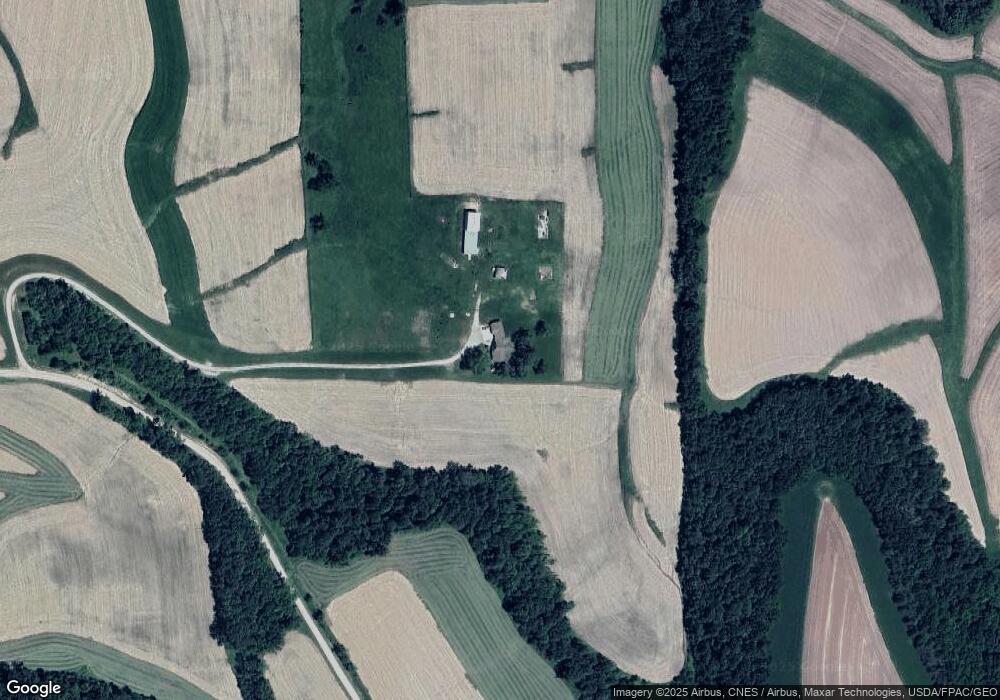
Map
Nearby Homes
- 1464 Iowa 9
- 2307 Mays Prairie Rd
- 000 Tbd Lycurgus Rd
- 2162 Lycurgus Rd
- 1511 Scenic Valley Rd
- 1862 Village Creek Dr
- 1930 Hideaway Hills Ln Unit 29
- 370 Knolls St
- 933 Iowa River Dr
- 73 Shaw St
- 1381 N 2nd St
- 371 Diagonal St
- 320 Diagonal St
- Lot 4 Majestic Heights Ln
- 100 N 2nd St Unit A
- 197 Main St
- 210 Northgate Ave NW
- 821 4th St NW
- 820 4th St NW
- 2181 Iowa 76