1975 Quails Nest Rd Redding, CA 96003
Buckeye NeighborhoodEstimated Value: $354,386 - $390,000
3
Beds
2
Baths
1,549
Sq Ft
$238/Sq Ft
Est. Value
About This Home
This home is located at 1975 Quails Nest Rd, Redding, CA 96003 and is currently estimated at $368,347, approximately $237 per square foot. 1975 Quails Nest Rd is a home located in Shasta County with nearby schools including Redding STEM Academy.
Ownership History
Date
Name
Owned For
Owner Type
Purchase Details
Closed on
Jan 18, 2022
Sold by
Silva Beverly J and Silva Anthony D
Bought by
Silva Anthony D and Silva Beverly
Current Estimated Value
Purchase Details
Closed on
Jul 18, 1997
Sold by
Smith Beverly J and Smith Beverly J
Bought by
Silva Anthony D and Silva Beverly J
Home Financials for this Owner
Home Financials are based on the most recent Mortgage that was taken out on this home.
Original Mortgage
$98,000
Interest Rate
7.23%
Create a Home Valuation Report for This Property
The Home Valuation Report is an in-depth analysis detailing your home's value as well as a comparison with similar homes in the area
Home Values in the Area
Average Home Value in this Area
Purchase History
| Date | Buyer | Sale Price | Title Company |
|---|---|---|---|
| Silva Anthony D | -- | Arel Justin G | |
| Silva Anthony D | -- | First American Title Co |
Source: Public Records
Mortgage History
| Date | Status | Borrower | Loan Amount |
|---|---|---|---|
| Previous Owner | Silva Anthony D | $98,000 |
Source: Public Records
Tax History
| Year | Tax Paid | Tax Assessment Tax Assessment Total Assessment is a certain percentage of the fair market value that is determined by local assessors to be the total taxable value of land and additions on the property. | Land | Improvement |
|---|---|---|---|---|
| 2025 | $3,190 | $303,244 | $55,457 | $247,787 |
| 2024 | $3,128 | $297,299 | $54,370 | $242,929 |
| 2023 | $3,128 | $291,470 | $53,304 | $238,166 |
| 2022 | $3,044 | $285,756 | $52,259 | $233,497 |
| 2021 | $3,002 | $280,154 | $51,235 | $228,919 |
| 2020 | $2,989 | $277,282 | $50,710 | $226,572 |
| 2019 | $2,896 | $271,846 | $49,716 | $222,130 |
| 2018 | $2,895 | $266,517 | $48,742 | $217,775 |
| 2017 | $2,846 | $261,292 | $47,787 | $213,505 |
| 2016 | $2,753 | $259,238 | $46,850 | $212,388 |
| 2015 | $2,715 | $255,822 | $46,147 | $209,675 |
| 2014 | $2,898 | $265,721 | $45,244 | $220,477 |
Source: Public Records
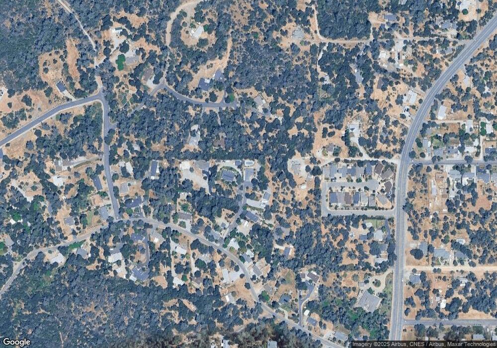
Map
Nearby Homes
- 3170 Quartz Hill Rd
- 3283 Bridgewater
- 3297 Bridgewater Ct
- 3280 Cowgill Ln
- 2966 Quartz Hill Rd
- 3150 Haley Ln
- 1702/1720 Mckinney Ln
- 0000 Snavely Dr
- 2935 Quartz Hill Rd
- 3130 Lakey Ln
- 1800 Jason Way
- 12125 Lake Blvd Unit 61
- 12116 Lake Blvd
- 12125 Shaver Ln
- 1450 Calexico Dr
- 17789 Peterson Ln
- 1439 Calexico Dr
- 3082, 3060 Keswick Dam Rd
- 11746 Nash Rd
- 3586 E Keswick Dam Rd
- 1960 Quails Nest Rd Unit 2
- 1960 Quails Nest Rd
- 3175 Pinehaven Dr
- 1945 Quails Nest Rd
- 1990 Quails Nest Rd
- 3285 Meraz Ln
- 3130 Quartz Hill Rd
- 3143 Pinehaven Dr
- 3116 Quartz Hill Rd
- 3116 Quartz Hill Rd
- 3114 Quartz Hill Rd
- 3185 Pinehaven Dr
- 3282 Meraz Ln
- 3200 Bridgewater Ct
- 3110 Quartz Hill Rd
- 3214 Bridgewater Ct
- 3214 Bridge Water Ct
- 17634 Meraz Ln
- 3144 Quartz Hill Rd
- 3215 Bridgewater Ct
Your Personal Tour Guide
Ask me questions while you tour the home.