Estimated Value: $498,000 - $570,196
4
Beds
2
Baths
1,660
Sq Ft
$327/Sq Ft
Est. Value
About This Home
This home is located at 19753 Prairie Island Blvd, Welch, MN 55089 and is currently estimated at $542,549, approximately $326 per square foot. 19753 Prairie Island Blvd is a home located in Goodhue County with nearby schools including Burnside Elementary School, Sunnyside Elementary School, and Twin Bluff Middle School.
Ownership History
Date
Name
Owned For
Owner Type
Purchase Details
Closed on
Jul 9, 2021
Sold by
Anderson John Ralph
Bought by
Anderson John Ralph and Anderson Becky Jo
Current Estimated Value
Home Financials for this Owner
Home Financials are based on the most recent Mortgage that was taken out on this home.
Original Mortgage
$173,500
Interest Rate
2.93%
Mortgage Type
New Conventional
Create a Home Valuation Report for This Property
The Home Valuation Report is an in-depth analysis detailing your home's value as well as a comparison with similar homes in the area
Home Values in the Area
Average Home Value in this Area
Purchase History
| Date | Buyer | Sale Price | Title Company |
|---|---|---|---|
| Anderson John Ralph | -- | Equity Settlement Svcs Inc |
Source: Public Records
Mortgage History
| Date | Status | Borrower | Loan Amount |
|---|---|---|---|
| Closed | Anderson John Ralph | $173,500 |
Source: Public Records
Tax History Compared to Growth
Tax History
| Year | Tax Paid | Tax Assessment Tax Assessment Total Assessment is a certain percentage of the fair market value that is determined by local assessors to be the total taxable value of land and additions on the property. | Land | Improvement |
|---|---|---|---|---|
| 2025 | $4,136 | $514,900 | $122,600 | $392,300 |
| 2024 | $4,136 | $502,300 | $122,600 | $379,700 |
| 2023 | $2,101 | $476,800 | $122,500 | $354,300 |
| 2022 | $3,628 | $462,800 | $120,500 | $342,300 |
| 2021 | $2,914 | $378,300 | $105,400 | $272,900 |
| 2020 | $2,842 | $307,600 | $90,400 | $217,200 |
| 2019 | $3,010 | $283,900 | $90,400 | $193,500 |
| 2018 | $2,032 | $286,000 | $90,400 | $195,600 |
| 2017 | $2,056 | $227,500 | $80,400 | $147,100 |
| 2016 | $1,818 | $229,600 | $80,400 | $149,200 |
| 2015 | $1,836 | $215,000 | $80,400 | $134,600 |
| 2014 | -- | $215,000 | $80,400 | $134,600 |
Source: Public Records
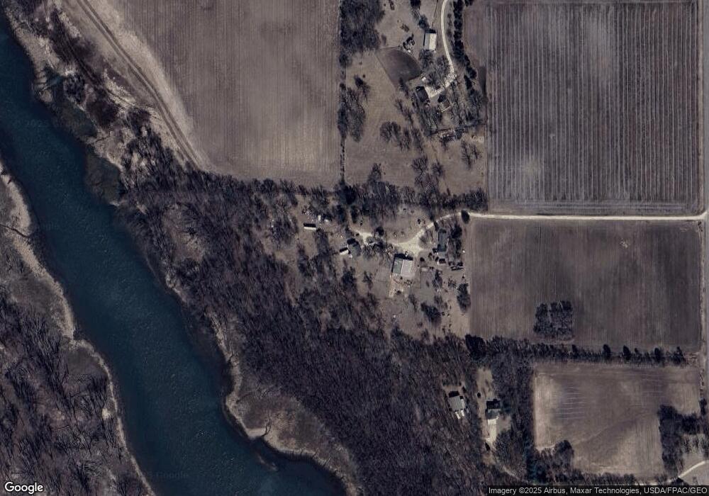
Map
Nearby Homes
- 20430 Rhoda Ave
- TBD Ravenna Trail
- 21211 Red Wing Blvd
- 20091 Red Wing Blvd
- N4387 1115th St
- XXX Otero Ave
- 20550 Otero Ave
- XXX Red Wing Blvd
- W11545 478th Ave
- W11011 470th Ave
- Lot 3 Orlando Ave
- Lot 1 Orlando Ave
- Lot 2 Orlando Ave
- W10780 468th Ave
- N4848 1110th St
- W9746 State Road 35
- 16XXX Welch Short Cut
- xxxxx 566th Ave
- W10415 521st Ave
- 17994 Michael Ave
- 19919 Prairie Island Blvd
- 19985 Prairie Island Blvd
- 19169 County 18 Blvd
- 15022 202nd Street Way
- 15019 202nd Street Way
- 16051 190th Street Way
- 16251 190th Street Way
- 15021 202nd Street Way
- 0 202nd Street Way
- 20100 Rowan Ave
- 18265 200th St E
- 20220 Rowan Ave
- 20105 Rowan Ave
- XXX Rowan
- 20300 Rowan Ave
- 20105 20105 Rowan Ave
- 18252 200th St E
- 19930 Rhoda Ave
- 20175 Rowan Ave
- 19988 Rhoda Ave