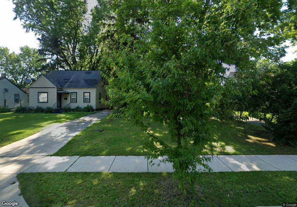
1976 Brentnell Ave Columbus, OH 43219
Brittany Hills NeighborhoodEstimated Value: $97,000 - $139,000
2
Beds
1
Bath
816
Sq Ft
$146/Sq Ft
Est. Value
About This Home
This home is located at 1976 Brentnell Ave, Columbus, OH 43219 and is currently estimated at $119,416, approximately $146 per square foot. 1976 Brentnell Ave is a home located in Franklin County with nearby schools including South Mifflin Stem Academy (K-6), Linden-Mckinley Stem School On Arcadia, and Cesar Chavez College Preparatory School.
Ownership History
Date
Name
Owned For
Owner Type
Purchase Details
Closed on
Jan 22, 1996
Sold by
Smith John M
Bought by
Curtis M Tuck
Current Estimated Value
Home Financials for this Owner
Home Financials are based on the most recent Mortgage that was taken out on this home.
Original Mortgage
$33,950
Outstanding Balance
$915
Interest Rate
7.28%
Mortgage Type
New Conventional
Estimated Equity
$118,501
Create a Home Valuation Report for This Property
The Home Valuation Report is an in-depth analysis detailing your home's value as well as a comparison with similar homes in the area
Home Values in the Area
Average Home Value in this Area
Purchase History
| Date | Buyer | Sale Price | Title Company |
|---|---|---|---|
| Curtis M Tuck | $35,000 | -- |
Source: Public Records
Mortgage History
| Date | Status | Borrower | Loan Amount |
|---|---|---|---|
| Open | Curtis M Tuck | $33,950 |
Source: Public Records
Tax History Compared to Growth
Tax History
| Year | Tax Paid | Tax Assessment Tax Assessment Total Assessment is a certain percentage of the fair market value that is determined by local assessors to be the total taxable value of land and additions on the property. | Land | Improvement |
|---|---|---|---|---|
| 2024 | $1,211 | $26,990 | $8,370 | $18,620 |
| 2023 | $1,196 | $26,985 | $8,365 | $18,620 |
| 2022 | $630 | $12,150 | $2,420 | $9,730 |
| 2021 | $631 | $12,150 | $2,420 | $9,730 |
| 2020 | $632 | $12,150 | $2,420 | $9,730 |
| 2019 | $576 | $9,490 | $1,960 | $7,530 |
| 2018 | $687 | $9,490 | $1,960 | $7,530 |
| 2017 | $575 | $9,490 | $1,960 | $7,530 |
| 2016 | $881 | $13,300 | $2,730 | $10,570 |
| 2015 | $800 | $13,300 | $2,730 | $10,570 |
| 2014 | $802 | $13,300 | $2,730 | $10,570 |
| 2013 | $440 | $14,805 | $3,045 | $11,760 |
Source: Public Records
Map
Nearby Homes
- 2336 Edenburgh Dr S
- 1882 Dunning Rd
- 0 Mock Rd
- 2054 Jermain Dr
- 1808 Brentnell Ave
- 2471 Mock Rd
- 2398 Dunkirk Dr
- 1794 Devonshire Rd
- 0 Danby Dr
- 1790 Marston Rd
- 1789 Marston Rd
- 1991 Woodland Ave
- 0 Rankin Ave Unit (Rear)
- 1975 Mock Rd
- 1978 Argyle Dr
- 2040 Loretta Ave
- 0 Parkwood Ave
- 2228 Holt Ave
- 2386 Century Dr
- 2736 Bellero Way Unit 94
- 1970 Brentnell Ave
- 1984 Brentnell Ave
- 1964 Brentnell Ave
- 1990 Brentnell Ave
- 1961 Dunning Rd
- 1967 Dunning Rd
- 1955 Dunning Rd
- 1956 Brentnell Ave
- 1996 Brentnell Ave
- 1973 Dunning Rd
- 1947 Dunning Rd
- 1950 Brentnell Ave
- 2002 Brentnell Ave
- 1941 Dunning Rd
- 1981 Dunning Rd
- 1977 Brentnell Ave
- 1985 Brentnell Ave
- 1971 Brentnell Ave
- 1933 Dunning Rd
- 1944 Brentnell Ave