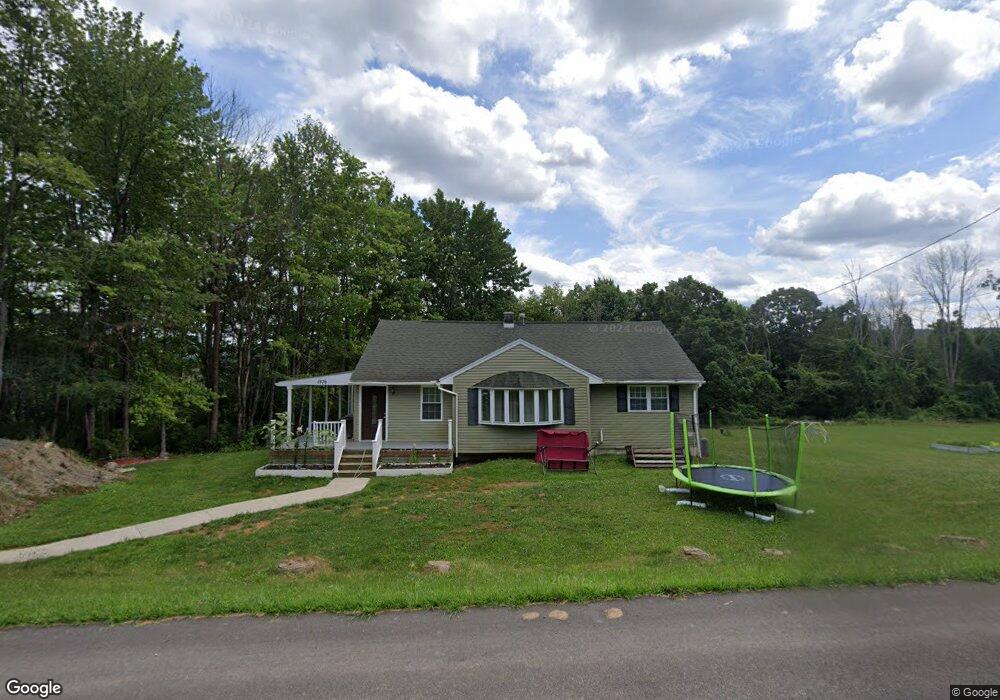
1976 Davis Rd Corning, NY 14830
Estimated Value: $162,000 - $203,000
3
Beds
2
Baths
1,231
Sq Ft
$143/Sq Ft
Est. Value
About This Home
This home is located at 1976 Davis Rd, Corning, NY 14830 and is currently estimated at $176,104, approximately $143 per square foot. 1976 Davis Rd is a home located in Steuben County with nearby schools including Frederick Carder Elementary School, Corning-Painted Post Middle School, and Corning-Painted Post High School.
Ownership History
Date
Name
Owned For
Owner Type
Purchase Details
Closed on
Mar 11, 2024
Sold by
Greene Jason
Bought by
Greene Jason H and Greene Ashley D
Current Estimated Value
Purchase Details
Closed on
Sep 29, 2016
Sold by
Estate Of Gerald Lee Rose
Bought by
Greene Jason
Purchase Details
Closed on
Feb 2, 1996
Create a Home Valuation Report for This Property
The Home Valuation Report is an in-depth analysis detailing your home's value as well as a comparison with similar homes in the area
Home Values in the Area
Average Home Value in this Area
Purchase History
| Date | Buyer | Sale Price | Title Company |
|---|---|---|---|
| Greene Jason H | -- | None Available | |
| Greene Jason H | -- | None Available | |
| Greene Jason | $85,000 | Welch & Zink | |
| Greene Jason | $85,000 | Welch & Zink | |
| -- | -- | -- | |
| -- | -- | -- |
Source: Public Records
Mortgage History
| Date | Status | Borrower | Loan Amount |
|---|---|---|---|
| Previous Owner | -- | $19,000 |
Source: Public Records
Tax History Compared to Growth
Tax History
| Year | Tax Paid | Tax Assessment Tax Assessment Total Assessment is a certain percentage of the fair market value that is determined by local assessors to be the total taxable value of land and additions on the property. | Land | Improvement |
|---|---|---|---|---|
| 2024 | $3,846 | $92,000 | $10,000 | $82,000 |
| 2023 | $3,811 | $92,000 | $10,000 | $82,000 |
| 2022 | $3,555 | $90,000 | $8,000 | $82,000 |
| 2021 | $3,589 | $90,000 | $8,000 | $82,000 |
| 2020 | $2,245 | $90,000 | $8,000 | $82,000 |
| 2019 | $3,286 | $90,000 | $8,000 | $82,000 |
| 2018 | $3,286 | $90,000 | $8,000 | $82,000 |
| 2017 | $3,294 | $90,000 | $8,000 | $82,000 |
| 2016 | $2,684 | $118,200 | $8,000 | $110,200 |
| 2015 | -- | $89,300 | $10,400 | $78,900 |
| 2014 | -- | $89,300 | $10,400 | $78,900 |
Source: Public Records
Map
Nearby Homes
- 1964 Spencer Hill Rd
- 0 Davis Rd
- 10861 Hidden Meadow Trail
- 1594 Thurber Rd
- 1536 Thurber Rd
- 0 Caton Rd Unit R1640864
- 0 Caton Rd Unit R1637646
- 1653 Caton Rd
- 2085 Caton Rd
- 10843 Caton Crescent
- 0 Welch Rd
- 11014 Wolcott Rd
- 10493 Skyline Dr
- 10614 Skyline Dr
- 2602-2606 Bailey Creek Rd
- 1430 Swarthout Rd
- 1860 Whiskey Creek Rd
- 2497 Caton Rd
- 1238 Caton Rd
- 2789 Bailey Creek Rd