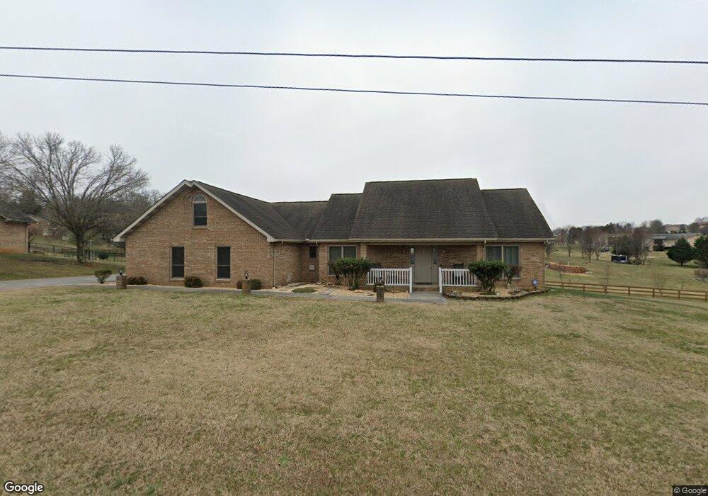
1976 Rays Gap Rd Sevierville, TN 37876
Estimated Value: $425,121 - $471,000
3
Beds
2
Baths
2,058
Sq Ft
$218/Sq Ft
Est. Value
About This Home
This home is located at 1976 Rays Gap Rd, Sevierville, TN 37876 and is currently estimated at $448,061, approximately $217 per square foot. 1976 Rays Gap Rd is a home located in Sevier County.
Ownership History
Date
Name
Owned For
Owner Type
Purchase Details
Closed on
Dec 11, 2023
Sold by
Brown Suzanne T
Bought by
Suzanne T Brown Revocable Living Trust and Brown
Current Estimated Value
Purchase Details
Closed on
Apr 2, 2010
Sold by
Dearmond David
Bought by
Brown Christopher R
Home Financials for this Owner
Home Financials are based on the most recent Mortgage that was taken out on this home.
Original Mortgage
$179,792
Interest Rate
5.5%
Mortgage Type
FHA
Purchase Details
Closed on
Oct 24, 2009
Sold by
Dearmond David
Bought by
Dearmond David
Create a Home Valuation Report for This Property
The Home Valuation Report is an in-depth analysis detailing your home's value as well as a comparison with similar homes in the area
Home Values in the Area
Average Home Value in this Area
Purchase History
| Date | Buyer | Sale Price | Title Company |
|---|---|---|---|
| Suzanne T Brown Revocable Living Trust | -- | None Listed On Document | |
| Brown Christopher R | $190,000 | -- | |
| Dearmond David | $171,891 | -- |
Source: Public Records
Mortgage History
| Date | Status | Borrower | Loan Amount |
|---|---|---|---|
| Previous Owner | Dearmond David | $179,792 |
Source: Public Records
Tax History
| Year | Tax Paid | Tax Assessment Tax Assessment Total Assessment is a certain percentage of the fair market value that is determined by local assessors to be the total taxable value of land and additions on the property. | Land | Improvement |
|---|---|---|---|---|
| 2025 | $872 | $58,950 | $6,250 | $52,700 |
| 2024 | $872 | $58,950 | $6,250 | $52,700 |
| 2023 | $872 | $58,950 | $0 | $0 |
| 2022 | $872 | $58,950 | $6,250 | $52,700 |
| 2021 | $872 | $58,950 | $6,250 | $52,700 |
| 2020 | $861 | $58,950 | $6,250 | $52,700 |
| 2019 | $861 | $46,275 | $6,250 | $40,025 |
| 2018 | $861 | $46,275 | $6,250 | $40,025 |
| 2017 | $861 | $46,275 | $6,250 | $40,025 |
| 2016 | $861 | $46,275 | $6,250 | $40,025 |
| 2015 | -- | $48,050 | $0 | $0 |
| 2014 | $783 | $48,043 | $0 | $0 |
Source: Public Records
Map
Nearby Homes
- 1920 Big Chiefs Skyview Dr
- 1977 Mccleary Rd
- 1340 Jim Fain Rd
- 1916 Big Chiefs Skyview Dr
- 2067 Highpoint Ln
- 1861 Big Buck Ln
- 1520 Rosewood Dr
- 2502 Derby Way
- 1264 Lori Ellen Ct
- 1246 Lori Ellen Ct
- 2553 Bay Meadows Way
- 2544 Bay Meadows Way
- 1214 Santa Anita Way
- 1170 von Cannon Ln
- 2830 Alden Glenn Ct
- 0 Alden Glenn Ct
- 2785 Vista Meadows Ln
- 2883 Alden Glenn Ct
- 2851 Southwinds Cir
- 2629 Southwinds Cir
- 1986 Rays Gap Rd
- 2259 Bryson Ct
- 1977 Rays Gap Rd
- Tract 10 Rays Gap Rd
- 1990 Rays Gap Rd
- 2257 Bryson Ct
- 1985 Rays Gap Rd
- 1963 Rays Gap Rd
- 2254 Bryson Ct
- 1994 Rays Gap Rd
- 2251 Bryson Ct
- 1529 Double d Dr
- 2060 Mccleary Rd
- 1527 Double d Dr
- 2103 Bryson Ct
- 1524 Double d Dr
- 2110 Bryson Ct
- 1969 Rays Gap Rd
- 1525 Double d Dr
- 2116 Bryson Ct
Your Personal Tour Guide
Ask me questions while you tour the home.