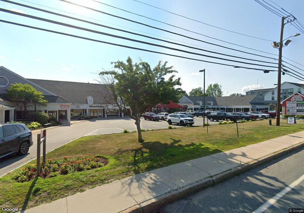
1976 White Mountain Hwy North Conway, NH 03860
Estimated Value: $3,636,512
3
Beds
2
Baths
2,184
Sq Ft
$1,665/Sq Ft
Est. Value
About This Home
This home is located at 1976 White Mountain Hwy, North Conway, NH 03860 and is currently estimated at $3,636,512, approximately $1,665 per square foot. 1976 White Mountain Hwy is a home located in Carroll County with nearby schools including A. Crosby Kennett Middle School, Kennett High School, and Robert Frost Charter School.
Ownership History
Date
Name
Owned For
Owner Type
Purchase Details
Closed on
Aug 27, 2007
Sold by
1976 Wmh Investors Gro
Bought by
Red Barn Sc Llc
Current Estimated Value
Home Financials for this Owner
Home Financials are based on the most recent Mortgage that was taken out on this home.
Original Mortgage
$1,929,350
Interest Rate
6.78%
Mortgage Type
Commercial
Create a Home Valuation Report for This Property
The Home Valuation Report is an in-depth analysis detailing your home's value as well as a comparison with similar homes in the area
Home Values in the Area
Average Home Value in this Area
Purchase History
| Date | Buyer | Sale Price | Title Company |
|---|---|---|---|
| Red Barn Sc Llc | $2,005,800 | -- | |
| Red Barn Sc Llc | $2,005,800 | -- |
Source: Public Records
Mortgage History
| Date | Status | Borrower | Loan Amount |
|---|---|---|---|
| Open | Red Barn Sc Llc | $2,990,000 | |
| Closed | Red Barn Sc Llc | $1,929,350 |
Source: Public Records
Tax History Compared to Growth
Tax History
| Year | Tax Paid | Tax Assessment Tax Assessment Total Assessment is a certain percentage of the fair market value that is determined by local assessors to be the total taxable value of land and additions on the property. | Land | Improvement |
|---|---|---|---|---|
| 2024 | $34,375 | $2,728,200 | $997,900 | $1,730,300 |
| 2023 | $31,265 | $2,728,200 | $997,900 | $1,730,300 |
| 2022 | $30,038 | $1,566,100 | $905,400 | $660,700 |
| 2021 | $25,590 | $1,566,100 | $905,400 | $660,700 |
| 2020 | $30,822 | $1,650,900 | $860,400 | $790,500 |
| 2019 | $28,594 | $1,650,900 | $860,400 | $790,500 |
| 2018 | $33,505 | $2,437,900 | $931,700 | $1,506,200 |
| 2017 | $48,106 | $2,407,700 | $931,700 | $1,476,000 |
| 2016 | $4,681 | $2,407,700 | $931,700 | $1,476,000 |
| 2015 | $45,963 | $2,407,700 | $931,700 | $1,476,000 |
| 2014 | $45,409 | $2,407,700 | $931,700 | $1,476,000 |
| 2013 | $46,352 | $2,595,300 | $956,600 | $1,638,700 |
Source: Public Records
Map
Nearby Homes
- 85 Amethyst Hill Rd
- 00 White Mountain Hwy
- 00 Artist Falls Rd
- 70 Wylie Ct Unit 15
- 42 Wylie Ct Unit 9
- 42 Wylie Ct Unit 6
- 42 Wylie Ct Unit 1
- 112 Wylie Ct
- 109 Wylie Ct
- 2280 W Side Rd
- 63 Allard Farm Circuit
- 2318 W Side Rd
- 262 Beechnut Dr
- 2760 New Hampshire 16 Unit E008A Week 29
- 11 Black Diamond Rd Unit 3
- 7 Black Diamond Rd Unit 2
- 301 Redstone St
- 137 Skimobile Rd Unit 3
- 15 Black Diamond Rd Unit 4
- 50 Nina Ln
- 1946 White Mountain Hwy
- 2008 White Mountain Hwy
- 64 Echo Acres Rd
- 1921 White Mountain Hwy
- 380 Echo Acres Rd
- 28 Echo Acres Rd
- 80 Echo Acres Rd
- 2025 White Mountain Hwy
- 2042 White Mountain Hwy
- 1896 White Mountain Hwy
- 1903 White Mountain Hwy
- 360 Echo Acres Rd
- 81 Echo Acres Rd
- 0 White Mountain Hwy
- Lot 31 White Mountain Hwy
- 102 Echo Acres Rd
- 2050 White Mountain Hwy
- 59 Amethyst Hill Rd
- 00 Echo Acres Rd Unit 22
- 99 Echo Acres Rd