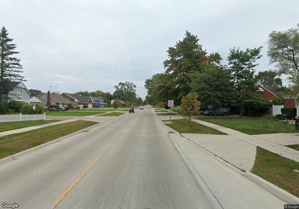
19765 Martin Rd Unit 21 Saint Clair Shores, MI 48081
Estimated Value: $73,000 - $87,000
2
Beds
1
Bath
770
Sq Ft
$103/Sq Ft
Est. Value
About This Home
This home is located at 19765 Martin Rd Unit 21, Saint Clair Shores, MI 48081 and is currently estimated at $79,115, approximately $102 per square foot. 19765 Martin Rd Unit 21 is a home located in Macomb County with nearby schools including Rodgers Elementary School, Kennedy Middle School, and Lake Shore High School.
Ownership History
Date
Name
Owned For
Owner Type
Purchase Details
Closed on
Apr 4, 2007
Sold by
Witt Thomas and Witt Thomas J
Bought by
Thomas Philip W and Thomas Karol R
Current Estimated Value
Purchase Details
Closed on
May 7, 2004
Sold by
Pasquinelli Lenore Agatha and The Lenore Agatha Pasquinelli
Bought by
Witt Thomas
Purchase Details
Closed on
Oct 27, 2003
Sold by
Pasquinelli Jeffrey J
Bought by
Pasquinelli Lenore Agatha and Lenore Agatha Pasquinelli Trus
Purchase Details
Closed on
Feb 16, 2000
Sold by
Pasquinelli Lenore A
Bought by
Pasquinelli Lenore Agatha and Lenore Agatha Pasquinelli Trus
Create a Home Valuation Report for This Property
The Home Valuation Report is an in-depth analysis detailing your home's value as well as a comparison with similar homes in the area
Home Values in the Area
Average Home Value in this Area
Purchase History
| Date | Buyer | Sale Price | Title Company |
|---|---|---|---|
| Thomas Philip W | $49,500 | Capital Title Ins Agency | |
| Witt Thomas | $54,000 | Greco | |
| Pasquinelli Lenore Agatha | -- | -- | |
| Pasquinelli Lenore Agatha | -- | -- |
Source: Public Records
Tax History Compared to Growth
Tax History
| Year | Tax Paid | Tax Assessment Tax Assessment Total Assessment is a certain percentage of the fair market value that is determined by local assessors to be the total taxable value of land and additions on the property. | Land | Improvement |
|---|---|---|---|---|
| 2025 | $637 | $33,200 | $0 | $0 |
| 2024 | $637 | $32,900 | $0 | $0 |
| 2023 | $599 | $31,300 | $0 | $0 |
| 2022 | $569 | $27,800 | $0 | $0 |
| 2021 | $560 | $22,800 | $0 | $0 |
| 2020 | $560 | $16,800 | $0 | $0 |
| 2019 | $539 | $14,400 | $0 | $0 |
| 2018 | $512 | $12,100 | $0 | $0 |
| 2017 | $512 | $10,300 | $2,100 | $8,200 |
| 2016 | $488 | $10,300 | $0 | $0 |
| 2015 | $478 | $8,100 | $0 | $0 |
| 2012 | -- | $11,100 | $2,100 | $9,000 |
Source: Public Records
Map
Nearby Homes
- 19791 Martin Rd Unit 11
- 20101 Meier Rd
- 28813 Beste St
- 28906 Hughes St
- 28107 Ursuline St
- 27734 Lasslett St
- 19423 Hazelwood St
- 28131 Elmdale St
- 28017 Ginley St
- 28824 Boston St
- 19029 Victor St
- 19396 Wilfred St
- 19308 Florence St
- 19343 Florence St
- 0 Lasslett St
- 18951 Meier St
- 27728 Larchmont St
- 18915 Meier St
- 28316 Little MacK Ave
- 28710 Little MacK Ave
- 19741 Martin Rd Unit 32
- 19735 Martin Rd Unit 29
- 19729 Martin Rd Unit 26
- 19727 Martin Rd
- 19721 Martin Rd Unit 22
- 19763 Martin Rd
- 19757 Martin Rd
- 19753 Martin Rd Unit 15
- 19793 Martin Rd Unit 12
- 19779 Martin Rd Unit 5
- 19773 Martin Rd
- 19739 Martin Rd Unit 31
- 19737 Martin Rd
- 19733 Martin Rd Unit 28
- 19731 Martin Rd Unit 27
- 19725 Martin Rd
- 19723 Martin Rd
- 19761 Martin Rd
- 19759 Martin Rd
- 19755 Martin Rd Unit 16
