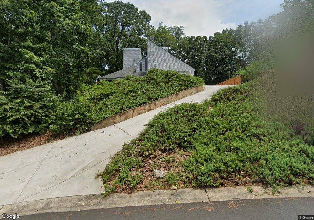
1977 Kinridge Rd Marietta, GA 30062
Eastern Marietta NeighborhoodEstimated Value: $401,434 - $452,000
3
Beds
3
Baths
1,844
Sq Ft
$229/Sq Ft
Est. Value
About This Home
This home is located at 1977 Kinridge Rd, Marietta, GA 30062 and is currently estimated at $421,609, approximately $228 per square foot. 1977 Kinridge Rd is a home located in Cobb County with nearby schools including Kincaid Elementary School, Simpson Middle School, and Sprayberry High School.
Ownership History
Date
Name
Owned For
Owner Type
Purchase Details
Closed on
Apr 28, 2000
Sold by
Britan Michael R and Britan Phyllissa
Bought by
Kilgore Sheryl L and Kilgore Ken H
Current Estimated Value
Home Financials for this Owner
Home Financials are based on the most recent Mortgage that was taken out on this home.
Original Mortgage
$65,000
Outstanding Balance
$22,221
Interest Rate
8.2%
Mortgage Type
New Conventional
Estimated Equity
$399,388
Purchase Details
Closed on
Nov 27, 1995
Sold by
Edmunds Page
Bought by
Britan Michael R
Create a Home Valuation Report for This Property
The Home Valuation Report is an in-depth analysis detailing your home's value as well as a comparison with similar homes in the area
Home Values in the Area
Average Home Value in this Area
Purchase History
| Date | Buyer | Sale Price | Title Company |
|---|---|---|---|
| Kilgore Sheryl L | $160,000 | -- | |
| Britan Michael R | $124,900 | -- |
Source: Public Records
Mortgage History
| Date | Status | Borrower | Loan Amount |
|---|---|---|---|
| Open | Kilgore Sheryl L | $65,000 | |
| Closed | Britan Michael R | $0 |
Source: Public Records
Tax History Compared to Growth
Tax History
| Year | Tax Paid | Tax Assessment Tax Assessment Total Assessment is a certain percentage of the fair market value that is determined by local assessors to be the total taxable value of land and additions on the property. | Land | Improvement |
|---|---|---|---|---|
| 2025 | $4,024 | $176,824 | $36,000 | $140,824 |
| 2024 | $3,728 | $163,008 | $36,000 | $127,008 |
| 2023 | $2,717 | $141,400 | $36,000 | $105,400 |
| 2022 | $2,550 | $107,788 | $28,000 | $79,788 |
| 2021 | $2,550 | $107,788 | $28,000 | $79,788 |
| 2020 | $2,336 | $98,000 | $28,000 | $70,000 |
| 2019 | $2,305 | $96,620 | $22,400 | $74,220 |
| 2018 | $1,884 | $77,364 | $20,800 | $56,564 |
| 2017 | $1,815 | $77,364 | $20,800 | $56,564 |
| 2016 | $1,567 | $65,984 | $16,800 | $49,184 |
| 2015 | $1,604 | $65,984 | $16,800 | $49,184 |
| 2014 | $1,616 | $65,984 | $0 | $0 |
Source: Public Records
Map
Nearby Homes
- 1991 Kinridge Rd
- 2020 Starlight Dr
- 2289 Glenridge Dr
- 1833 Tree Top Ct
- 1822 Hasty Rd
- 2255 Abbey Cove Ct
- 2072 Fairport Way
- 1780 Kinridge Rd
- 1701 Smithwood Dr
- 2265 Piedmont Glen Ct Unit 1
- 1900 Branch View Dr
- 2065 Mozelle Dr
- 1972 Granite Mill Rd
- 2314 Sandy Oaks Dr
- 2252 Carefree Cir Unit 3
- 2301 Piedmont Forest Dr
- 2116 Morgan Rd NE
- 2153 Deep Woods Way
- 1971 Kinridge Rd
- 2079 Kinridge Ct
- 1979 Kinridge Rd
- 1969 Kinridge Rd
- 2091 Kinridge Ct
- 2081 Kinridge Ct Unit 3
- 1981 Kinridge Rd
- 1990 Kinridge Rd
- 2116 Glenridge Ct
- 2114 Glenridge Ct
- 0 Kinridge Ct Unit 7227176
- 0 Kinridge Ct Unit 8391246
- 0 Kinridge Ct Unit 8456304
- 2118 Glenridge Ct Unit 2
- 2067 Kinridge Ct
- 2086 Kinridge Ct
- 2120 Glenridge Ct
- 2077 Kinridge Ct
- 2077 Kinridge Ct
- 2077 Kinridge Ct Unit 14