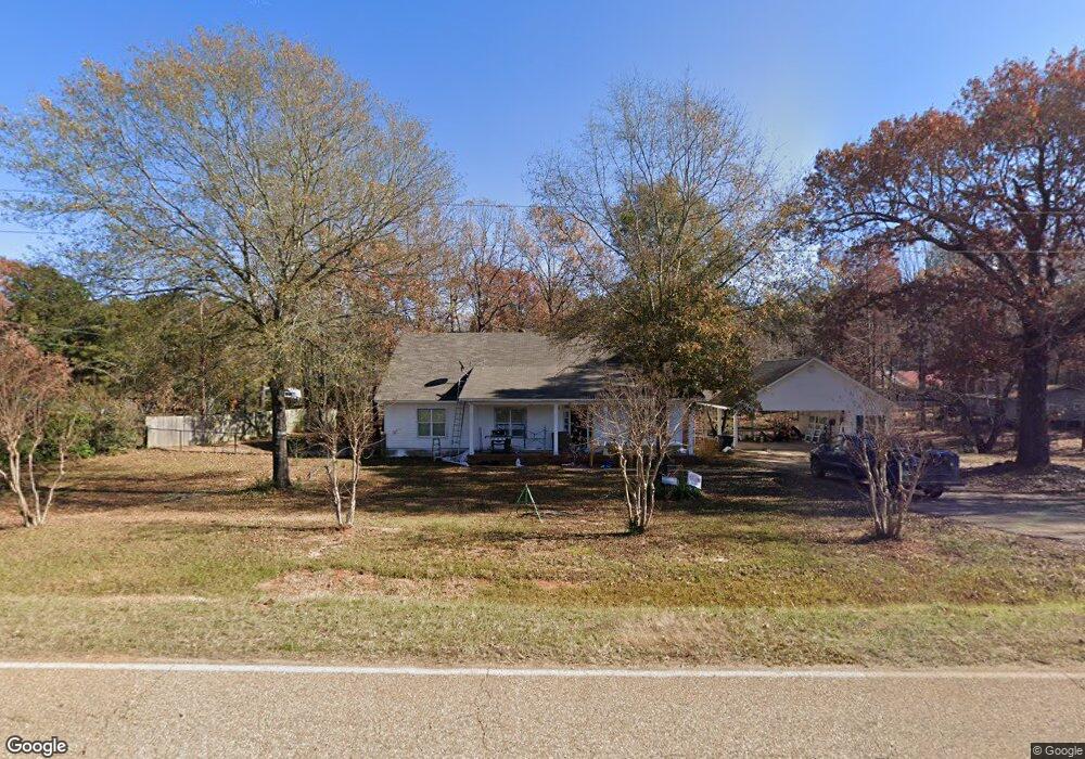
1977 Pea Ridge Rd Dubach, LA 71235
Estimated Value: $331,000 - $493,154
4
Beds
2
Baths
9,381
Sq Ft
$43/Sq Ft
Est. Value
About This Home
This home is located at 1977 Pea Ridge Rd, Dubach, LA 71235 and is currently estimated at $400,039, approximately $42 per square foot. 1977 Pea Ridge Rd is a home located in Lincoln Parish with nearby schools including Hillcrest Elementary School, Ruston Elementary School, and Ruston Junior High School.
Ownership History
Date
Name
Owned For
Owner Type
Purchase Details
Closed on
Feb 13, 2015
Sold by
Richland State Bank
Bought by
Witt Jesse M and Witt Tracey Renee
Current Estimated Value
Home Financials for this Owner
Home Financials are based on the most recent Mortgage that was taken out on this home.
Original Mortgage
$178,368
Outstanding Balance
$135,116
Interest Rate
3.78%
Mortgage Type
New Conventional
Estimated Equity
$264,923
Create a Home Valuation Report for This Property
The Home Valuation Report is an in-depth analysis detailing your home's value as well as a comparison with similar homes in the area
Purchase History
| Date | Buyer | Sale Price | Title Company |
|---|---|---|---|
| Witt Jesse M | $250,000 | None Available |
Source: Public Records
Mortgage History
| Date | Status | Borrower | Loan Amount |
|---|---|---|---|
| Open | Witt Jesse M | $178,368 |
Source: Public Records
Tax History
| Year | Tax Paid | Tax Assessment Tax Assessment Total Assessment is a certain percentage of the fair market value that is determined by local assessors to be the total taxable value of land and additions on the property. | Land | Improvement |
|---|---|---|---|---|
| 2025 | $3,113 | $38,081 | $2,882 | $35,199 |
| 2024 | $3,113 | $38,081 | $2,882 | $35,199 |
| 2023 | $2,681 | $31,632 | $2,882 | $28,750 |
| 2022 | $2,695 | $31,632 | $2,882 | $28,750 |
| 2021 | $2,486 | $31,632 | $2,882 | $28,750 |
| 2020 | $2,108 | $23,722 | $2,985 | $20,737 |
| 2019 | $2,061 | $23,720 | $2,983 | $20,737 |
| 2018 | $2,009 | $23,720 | $2,983 | $20,737 |
| 2017 | $2,229 | $26,681 | $2,983 | $23,698 |
| 2016 | $2,284 | $0 | $0 | $0 |
| 2015 | $2,522 | $28,300 | $2,878 | $25,422 |
| 2013 | $2,560 | $28,300 | $2,878 | $25,422 |
Source: Public Records
Map
Nearby Homes
- 136 Shade Tree Trace
- Lot 1B Unit 1 Harmony Church Rd
- 185 Mount Harmony Church Rd
- 193 Mount Harmony Church Rd
- 209 Mount Harmony Church Rd
- 144 Creeks Crossing
- 180 Vz Top Farm Rd
- 641 Goodgoin Rd
- 3252 Highway 821
- 173 Oak Alley Dr
- 128 Marlou Cir
- 305 Oak Alley Dr
- 145 Woodshire Ln
- 000 Highway 167
- 197 Baxter Rd
- 1709 Rampart Dr
- 294 Moody Rd
- 0 English Turn
- 2900 Post Oak Dr
- 2420 Highway 33
- 1977 Pea Ridge Rd
- 1991 Pea Ridge Rd
- 1988 Pea Ridge Rd
- 1965 Pea Ridge Rd
- 2004 Pea Ridge Rd
- 1941 Pea Ridge Rd
- 764 Ball Rd
- 2025 Pea Ridge Rd
- 1925 Pea Ridge Rd
- 746 Ball Rd
- 757 Ball Rd
- 1935 Pea Ridge Rd
- 140 Compound Ln
- 2048 Pea Ridge Rd
- 2011 Pea Ridge Rd
- 745 Ball Rd
- 1906 Pea Ridge Rd
- 2068 Pea Ridge Rd
- 1894 Pea Ridge Rd
- 169 Compound Ln
Your Personal Tour Guide
Ask me questions while you tour the home.