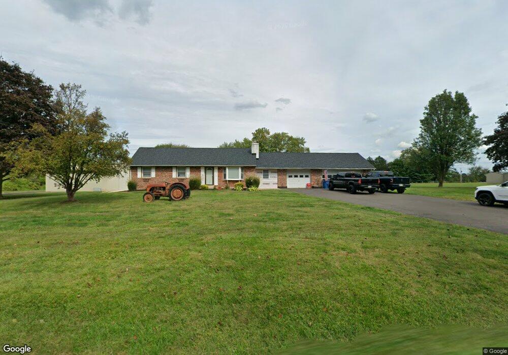
1977 Swamp Rd Furlong, PA 18925
Estimated Value: $663,822 - $1,772,000
2
Beds
2
Baths
1,170
Sq Ft
$822/Sq Ft
Est. Value
About This Home
This home is located at 1977 Swamp Rd, Furlong, PA 18925 and is currently estimated at $961,956, approximately $822 per square foot. 1977 Swamp Rd is a home located in Bucks County with nearby schools including Bridge Valley Elementary School, Holicong Middle School, and Central Bucks High School - East.
Ownership History
Date
Name
Owned For
Owner Type
Purchase Details
Closed on
Jul 6, 2023
Sold by
Wisniewski Francine E
Bought by
Hornstein Michael D
Current Estimated Value
Home Financials for this Owner
Home Financials are based on the most recent Mortgage that was taken out on this home.
Original Mortgage
$90,000
Outstanding Balance
$87,813
Interest Rate
6.69%
Mortgage Type
Credit Line Revolving
Estimated Equity
$874,143
Purchase Details
Closed on
May 23, 1975
Sold by
Roberts Charlotte
Bought by
Wisniewski Richard and Wisniewski Francine E
Create a Home Valuation Report for This Property
The Home Valuation Report is an in-depth analysis detailing your home's value as well as a comparison with similar homes in the area
Home Values in the Area
Average Home Value in this Area
Purchase History
| Date | Buyer | Sale Price | Title Company |
|---|---|---|---|
| Hornstein Michael D | -- | Tohickon Settlement Services | |
| Wisniewski Richard | $28,000 | -- |
Source: Public Records
Mortgage History
| Date | Status | Borrower | Loan Amount |
|---|---|---|---|
| Open | Hornstein Michael D | $90,000 |
Source: Public Records
Tax History Compared to Growth
Tax History
| Year | Tax Paid | Tax Assessment Tax Assessment Total Assessment is a certain percentage of the fair market value that is determined by local assessors to be the total taxable value of land and additions on the property. | Land | Improvement |
|---|---|---|---|---|
| 2025 | $6,480 | $39,800 | $17,160 | $22,640 |
| 2024 | $6,480 | $39,800 | $17,160 | $22,640 |
| 2023 | $6,260 | $39,800 | $17,160 | $22,640 |
| 2022 | $6,185 | $39,800 | $17,160 | $22,640 |
| 2021 | $6,111 | $39,800 | $17,160 | $22,640 |
| 2020 | $6,111 | $39,800 | $17,160 | $22,640 |
| 2019 | $6,071 | $39,800 | $17,160 | $22,640 |
| 2018 | $6,071 | $39,800 | $17,160 | $22,640 |
| 2017 | $6,022 | $39,800 | $17,160 | $22,640 |
| 2016 | $6,081 | $39,800 | $17,160 | $22,640 |
| 2015 | -- | $39,800 | $17,160 | $22,640 |
| 2014 | -- | $39,800 | $17,160 | $22,640 |
Source: Public Records
Map
Nearby Homes
- 2080 Bedfordshire Rd
- 0 Old York Rd Unit PABU2103356
- 2209 Swamp Rd
- 1948 Forest Grove Rd
- 3657 Powder Horn Dr
- 2113 Redbud Ln
- 3017 Dorchester St E Unit 125
- 2310 S Whittmore St
- 3772 Powder Horn Dr
- 2443 Sugar Bottom Rd
- 1515 Sugar Bottom Rd
- 547 Mccarty Dr
- 2807 Mountain Laurel Dr
- 108 Eagle Ct Unit 105
- lot #3 next to 3739 York Rd
- 4549 Lower Mountain Rd
- 106 Saddle Dr
- 2479 Wheatfield Ln
- 1249 Pebble Hill Rd
- 1834 Augusta Dr
- 1947 Swamp Rd
- 1970 Swamp Rd
- 2020 Derbyshire Rd
- 2001 Bedfordshire Rd
- 2009 Bedfordshire Rd
- 2014 Derbyshire Rd
- 2026 Derbyshire Rd
- 2017 Bedfordshire Rd
- 2008 Derbyshire Rd
- 2027 Buckinghamshire Rd
- 2032 Derbyshire Rd
- 2025 Bedfordshire Rd
- 2035 Brookshire Rd
- 2033 Bedfordshire Rd
- 2035 Buckinghamshire Rd
- 2030 Bedfordshire Rd
- 2038 Derbyshire Rd
- 2043 Brookshire Rd
- 1911 Swamp Rd
- 2032 Brookshire Rd