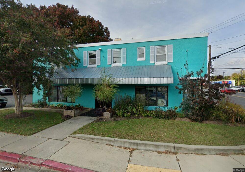
1977 West St Unit A Annapolis, MD 21401
Forest Villa NeighborhoodEstimated Value: $1,991,823
--
Bed
--
Bath
800
Sq Ft
$2,490/Sq Ft
Est. Value
About This Home
This home is located at 1977 West St Unit A, Annapolis, MD 21401 and is currently estimated at $1,991,823, approximately $2,489 per square foot. 1977 West St Unit A is a home located in Anne Arundel County with nearby schools including Walter S. Mills-Parole Elementary School, Annapolis Middle School, and Annapolis High School.
Ownership History
Date
Name
Owned For
Owner Type
Purchase Details
Closed on
Nov 5, 2019
Sold by
Foxwell David M
Bought by
Foxwell David M and Foxwell Dawn W
Current Estimated Value
Purchase Details
Closed on
Jul 19, 1999
Sold by
1977 West Ptnshp
Bought by
Foxwell David M
Purchase Details
Closed on
Feb 14, 1986
Sold by
Brown Thomas N
Bought by
1977 West Ptnshp
Home Financials for this Owner
Home Financials are based on the most recent Mortgage that was taken out on this home.
Original Mortgage
$224,000
Interest Rate
10.8%
Create a Home Valuation Report for This Property
The Home Valuation Report is an in-depth analysis detailing your home's value as well as a comparison with similar homes in the area
Home Values in the Area
Average Home Value in this Area
Purchase History
| Date | Buyer | Sale Price | Title Company |
|---|---|---|---|
| Foxwell David M | -- | None Available | |
| Foxwell David M | $580,000 | -- | |
| 1977 West Ptnshp | $135,000 | -- |
Source: Public Records
Mortgage History
| Date | Status | Borrower | Loan Amount |
|---|---|---|---|
| Previous Owner | 1977 West Ptnshp | $224,000 |
Source: Public Records
Tax History Compared to Growth
Tax History
| Year | Tax Paid | Tax Assessment Tax Assessment Total Assessment is a certain percentage of the fair market value that is determined by local assessors to be the total taxable value of land and additions on the property. | Land | Improvement |
|---|---|---|---|---|
| 2025 | $12,736 | $886,300 | $673,900 | $212,400 |
| 2024 | $12,736 | $886,300 | $673,900 | $212,400 |
| 2023 | $12,762 | $888,700 | $673,900 | $214,800 |
| 2022 | $12,522 | $888,700 | $673,900 | $214,800 |
| 2021 | $12,844 | $888,700 | $673,900 | $214,800 |
| 2020 | $12,844 | $910,900 | $624,700 | $286,200 |
| 2019 | $12,602 | $893,133 | $0 | $0 |
| 2018 | $12,176 | $875,367 | $0 | $0 |
| 2017 | $11,192 | $857,600 | $0 | $0 |
| 2016 | -- | $817,767 | $0 | $0 |
| 2015 | -- | $777,933 | $0 | $0 |
| 2014 | -- | $738,100 | $0 | $0 |
Source: Public Records
Map
Nearby Homes
- 8 Dorsey Ave
- 14 A Dorsey Ave
- 9 Bunche St
- 25 Dorsey Ave
- 27 Dorsey Ave
- 1971 Dominoe Rd
- 201 Bowie Ave
- 1915 Towne Centre Blvd Unit 1004
- 1915 Towne Centre Blvd Unit 606
- 1915 Towne Centre Blvd Unit 1210
- 1915 Towne Centre Blvd Unit 306
- 1915 Towne Centre Blvd Unit 1001
- 1915 Towne Centre Blvd Unit 405 & 406
- 1915 Towne Centre Blvd Unit 301
- 1915 Towne Centre Blvd Unit 402
- 1915 Towne Centre Blvd Unit 807
- 1915 Towne Centre Blvd Unit 502
- 812 Francis Harris Place
- 606 James Walker Place
- 10 N Homeland Ave