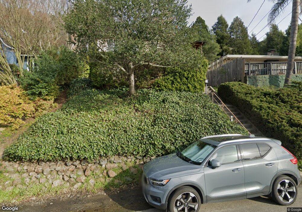
1978 Magellan Dr Oakland, CA 94611
Montclair NeighborhoodEstimated Value: $1,070,290 - $1,328,000
3
Beds
2
Baths
1,575
Sq Ft
$764/Sq Ft
Est. Value
About This Home
This home is located at 1978 Magellan Dr, Oakland, CA 94611 and is currently estimated at $1,203,823, approximately $764 per square foot. 1978 Magellan Dr is a home located in Alameda County with nearby schools including Montclair Elementary School, Montera Middle School, and Skyline High School.
Ownership History
Date
Name
Owned For
Owner Type
Purchase Details
Closed on
Apr 2, 2025
Bought by
Douglas H Mcaulay Trust and Casiday
Current Estimated Value
Purchase Details
Closed on
Jan 5, 2007
Sold by
Mcaulay Douglas H
Bought by
Mcaulay Douglas H and Douglas H Mcaulay Trust
Purchase Details
Closed on
Jan 10, 1996
Sold by
Mcaulay Sara Willis
Bought by
Mcaulay Douglas H
Create a Home Valuation Report for This Property
The Home Valuation Report is an in-depth analysis detailing your home's value as well as a comparison with similar homes in the area
Home Values in the Area
Average Home Value in this Area
Purchase History
| Date | Buyer | Sale Price | Title Company |
|---|---|---|---|
| Douglas H Mcaulay Trust | -- | None Listed On Document | |
| Mcaulay Douglas H | -- | None Available | |
| Mcaulay Douglas H | -- | Commonwealth Land Title Co |
Source: Public Records
Tax History
| Year | Tax Paid | Tax Assessment Tax Assessment Total Assessment is a certain percentage of the fair market value that is determined by local assessors to be the total taxable value of land and additions on the property. | Land | Improvement |
|---|---|---|---|---|
| 2025 | $8,053 | $1,100,000 | $330,000 | $770,000 |
| 2024 | $8,053 | $504,032 | $153,309 | $357,723 |
| 2023 | $8,422 | $501,012 | $150,303 | $350,709 |
| 2022 | $8,174 | $484,190 | $147,357 | $343,833 |
| 2021 | $7,773 | $474,560 | $144,468 | $337,092 |
| 2020 | $7,683 | $476,624 | $142,987 | $333,637 |
| 2019 | $7,365 | $467,280 | $140,184 | $327,096 |
| 2018 | $7,204 | $458,118 | $137,435 | $320,683 |
| 2017 | $6,912 | $449,137 | $134,741 | $314,396 |
| 2016 | $6,775 | $440,331 | $132,099 | $308,232 |
| 2015 | $6,856 | $433,718 | $130,115 | $303,603 |
| 2014 | $6,867 | $425,225 | $127,567 | $297,658 |
Source: Public Records
Map
Nearby Homes
- 5969 Rincon Dr
- 6558 Lucas Ave Unit 202
- 6344 Snake Rd
- 5701 Snake Rd
- 6540 Saroni Dr
- 6411 Snake Rd
- 2 Cortez Ct
- 6002 Mazuela Dr
- 2033 Trafalgar Place
- 24 Cabrillo Place
- 5922 Bruns Ct
- 5924 Balboa Dr
- 6051 Westover Dr
- 6194 Mazuela Dr
- 0 Bullard Dr
- 6340 Shepherd Canyon Rd
- 0 Scout Rd Unit 41125303
- 6210 Westover Dr
- 0 Westover Dr Unit 41125160
- 1 Westover Dr
- 1984 Magellan Dr
- 1972 Magellan Dr
- 6001 Snake Rd
- 1992 Magellan Dr
- 1973 Magellan Dr
- 5901 Zinn Dr
- 1981 Magellan Dr
- 6007 Snake Rd
- 1960 Magellan Dr
- 5922 Zinn Dr
- 6080 Zinn Dr
- 6071 Zinn Dr
- 1959 Cortereal Ave
- 5928 Zinn Dr
- 1991 Magellan Dr
- 6015 Snake Rd
- 1954 Magellan Dr
- 5934 Zinn Dr
- 1951 Cortereal Ave
- 5905 Zinn Dr
Your Personal Tour Guide
Ask me questions while you tour the home.