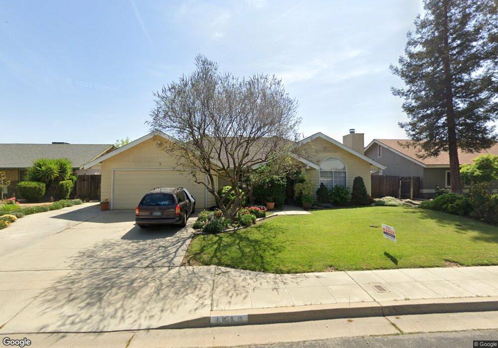
1978 Swift Ave Clovis, CA 93611
Estimated Value: $468,354 - $516,000
About This Home
This home is located at 1978 Swift Ave, Clovis, CA 93611 and is currently estimated at $491,339, approximately $248 per square foot. 1978 Swift Ave is a home located in Fresno County with nearby schools including Gettysburg Elementary School, Reyburn Intermediate School, and Clovis East High School.
Ownership History
We collect this data history from publicly available records. To have your information removed, we recommend requesting removal directly through your county’s website.
Purchase Details
Home Financials for this Owner
Home Financials are based on the most recent Mortgage that was taken out on this home.Home Values in the Area
Average Home Value in this Area
Purchase History
We collect this data history from publicly available records. To have your information removed, we recommend requesting removal directly through your county’s website.
| Date | Buyer | Sale Price | Title Company |
|---|---|---|---|
| $118,500 | Chicago Title Co |
Mortgage History
We collect this data history from publicly available records. To have your information removed, we recommend requesting removal directly through your county’s website.
| Date | Status | Borrower | Loan Amount |
|---|---|---|---|
| Open | $58,000 |
Tax History
We collect this data history from publicly available records. To have your information removed, we recommend requesting removal directly through your county’s website.
| Year | Tax Paid | Tax Assessment Tax Assessment Total Assessment is a certain percentage of the fair market value that is determined by local assessors to be the total taxable value of land and additions on the property. | Land | Improvement |
|---|---|---|---|---|
| 2025 | $2,326 | $203,108 | $83,046 | $120,062 |
| 2023 | $2,235 | $195,222 | $79,822 | $115,400 |
| 2022 | $2,203 | $191,395 | $78,257 | $113,138 |
| 2021 | $2,140 | $187,643 | $76,723 | $110,920 |
| 2020 | $2,131 | $185,720 | $75,937 | $109,783 |
| 2019 | $2,088 | $182,080 | $74,449 | $107,631 |
| 2018 | $2,042 | $178,511 | $72,990 | $105,521 |
| 2017 | $2,005 | $175,011 | $71,559 | $103,452 |
| 2016 | $1,936 | $171,580 | $70,156 | $101,424 |
| 2015 | $1,905 | $169,004 | $69,103 | $99,901 |
| 2014 | $1,869 | $165,695 | $67,750 | $97,945 |
Map
- 1948 Austin Ave
- 3237 Whittier Ave
- 2064 Ashlan Ave
- 6123 E Hampton Way
- 2112 Austin Ave
- 1793 Norwich Ave
- 6189 E Farrin Ave
- 6162 E Farrin Ave
- 1984 Rialto Ct
- 2976 Holly Ave
- 2665 Cypress Ave
- 2684 Armstrong Ave
- 2612 Renn Ave
- 2955 Holly Ave
- 3765 N Pearwood Ave
- 3659 N Pearwood Ave
- 3431 N Mcarthur Ave
- 2415 Fordham Ave
- 3423 N Mcarthur Ave
- 3415 N Mcarthur Ave
- 1925 Austin Ave
- 1945 Austin Ave
- 1915 Austin Ave
- 1938 Swift Ave
- 1958 Swift Ave
- 1955 Austin Ave
- 1928 Swift Ave
- 1928 Austin Ave
- 3104 Laverne Ave
- 1975 Austin Ave
- 3124 Laverne Ave
- 1958 Austin Ave
- 1918 Swift Ave
- 1988 Swift Ave
- 3134 Laverne Ave
- 1978 Austin Ave
- 1959 Swift Ave
- 1985 Austin Ave
- 1927 Antonio Ave
- 1947 Antonio Ave
Ask me questions while you tour the home.