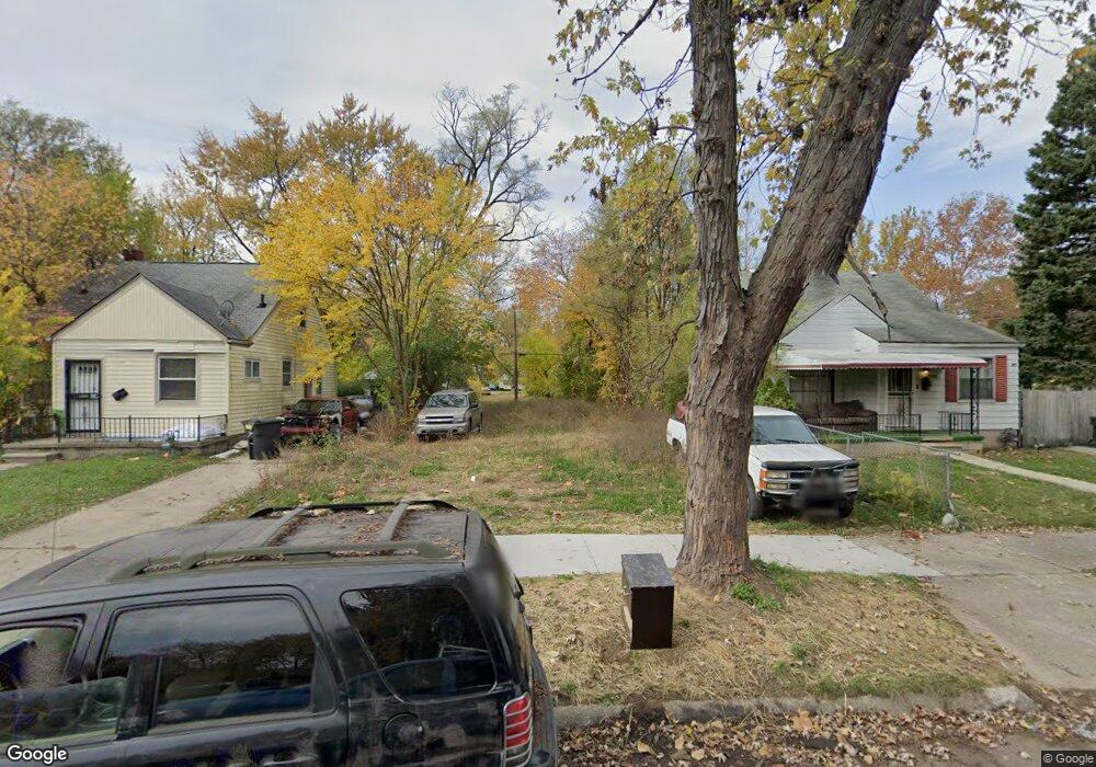
19785 Winthrop St Detroit, MI 48235
Greenfield NeighborhoodEstimated Value: $89,000 - $90,000
3
Beds
2
Baths
990
Sq Ft
$90/Sq Ft
Est. Value
About This Home
This home is located at 19785 Winthrop St, Detroit, MI 48235 and is currently estimated at $89,500, approximately $90 per square foot. 19785 Winthrop St is a home located in Wayne County with nearby schools including Bow Elementary-Middle School, Charles L. Spain Elementary-Middle School, and Edward 'Duke' Ellington Conservatory of Music and Art.
Ownership History
Date
Name
Owned For
Owner Type
Purchase Details
Closed on
Jul 19, 2023
Sold by
Detroit Land Bank Authority
Bought by
Pinkston Roderick
Current Estimated Value
Purchase Details
Closed on
Jul 16, 2014
Sold by
The City Of Detroit
Bought by
The Detroit Land Bank Authority
Purchase Details
Closed on
Feb 7, 2013
Sold by
Wayne County Treasurer
Bought by
Planning & Development Dept City Of Detr
Purchase Details
Closed on
Apr 17, 2009
Sold by
The Secretary Of Veterans Affairs
Bought by
Lakeshore 6 Llc
Create a Home Valuation Report for This Property
The Home Valuation Report is an in-depth analysis detailing your home's value as well as a comparison with similar homes in the area
Home Values in the Area
Average Home Value in this Area
Purchase History
| Date | Buyer | Sale Price | Title Company |
|---|---|---|---|
| Pinkston Roderick | $250 | None Listed On Document | |
| The Detroit Land Bank Authority | -- | None Available | |
| Planning & Development Dept City Of Detr | -- | None Available | |
| Lakeshore 6 Llc | $6,500 | First American Title Ins Co |
Source: Public Records
Tax History Compared to Growth
Tax History
| Year | Tax Paid | Tax Assessment Tax Assessment Total Assessment is a certain percentage of the fair market value that is determined by local assessors to be the total taxable value of land and additions on the property. | Land | Improvement |
|---|---|---|---|---|
| 2025 | -- | $1,700 | $0 | $0 |
| 2024 | -- | $0 | $0 | $0 |
| 2023 | $0 | $0 | $0 | $0 |
| 2022 | $0 | $0 | $0 | $0 |
| 2021 | $0 | $0 | $0 | $0 |
| 2020 | $1,453 | $0 | $0 | $0 |
| 2019 | $1,453 | $0 | $0 | $0 |
| 2018 | $0 | $0 | $0 | $0 |
| 2017 | -- | $0 | $0 | $0 |
| 2016 | $240 | $0 | $0 | $0 |
| 2015 | $1,643 | $0 | $0 | $0 |
| 2013 | $1,643 | $21,486 | $0 | $0 |
| 2010 | -- | $30,785 | $875 | $29,910 |
Source: Public Records
Map
Nearby Homes
- 19470 Forrer St
- 19445 Montrose St
- 19961 Forrer St
- 19414 Prevost St
- 19419 Greenfield Rd
- 19961 Greenfield Rd
- 19750 Prest St
- 19355 Rutherford St
- 19331 Prevost St
- 19307 Montrose St
- 19215 Winthrop St
- 19339 Mansfield St
- 19410 Murray Hill St
- 20210 Winthrop St
- 19470 Sussex St
- 19720 Asbury Park
- 19307 Mansfield St
- 19412 Sussex St
- 20248 Prevost St
- 20266 Forrer St
- 19775 Winthrop St
- 19791 Winthrop St
- 19767 Winthrop St
- 19755 Winthrop St
- 19811 Winthrop St
- 19774 Forrer St
- 19790 Forrer St
- 19800 Forrer St
- 19760 Forrer St
- 19745 Winthrop St
- 19810 Forrer St
- 19780 Winthrop St
- 19754 Forrer St
- 19790 Winthrop St
- 19782 Forrer St
- 19766 Winthrop St
- 19739 Winthrop St
- 19800 Winthrop St
- 19758 Winthrop St
- 19810 Winthrop St Unit Bldg-Unit