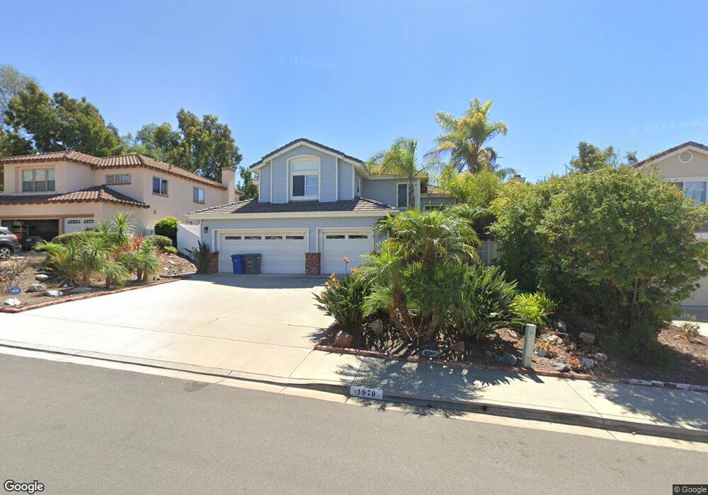
1979 Acorn Rd San Marcos, CA 92078
Palomar Estates NeighborhoodEstimated Value: $1,310,732 - $1,429,000
4
Beds
3
Baths
2,492
Sq Ft
$544/Sq Ft
Est. Value
About This Home
This home is located at 1979 Acorn Rd, San Marcos, CA 92078 and is currently estimated at $1,356,183, approximately $544 per square foot. 1979 Acorn Rd is a home located in San Diego County with nearby schools including Carrillo Elementary, San Elijo Middle School, and San Marcos High School.
Ownership History
Date
Name
Owned For
Owner Type
Purchase Details
Closed on
Jun 19, 2000
Sold by
Yoakum Lorraine Dean
Bought by
Yoakum Lorraine Dean
Current Estimated Value
Purchase Details
Closed on
Jan 27, 2000
Sold by
Bothe Ethel M
Bought by
Yoakum Lorraine Dean
Home Financials for this Owner
Home Financials are based on the most recent Mortgage that was taken out on this home.
Original Mortgage
$175,000
Outstanding Balance
$58,273
Interest Rate
8.26%
Estimated Equity
$1,297,910
Purchase Details
Closed on
Jun 27, 1994
Sold by
California Pacific Homes Inc
Bought by
Bothe William G and Bothe Ethel M
Home Financials for this Owner
Home Financials are based on the most recent Mortgage that was taken out on this home.
Original Mortgage
$190,000
Interest Rate
8.37%
Create a Home Valuation Report for This Property
The Home Valuation Report is an in-depth analysis detailing your home's value as well as a comparison with similar homes in the area
Home Values in the Area
Average Home Value in this Area
Purchase History
| Date | Buyer | Sale Price | Title Company |
|---|---|---|---|
| Yoakum Lorraine Dean | -- | Fidelity National Title | |
| Yoakum Lorraine Dean | $325,000 | Chicago Title Co | |
| Bothe William G | $240,000 | First American Title |
Source: Public Records
Mortgage History
| Date | Status | Borrower | Loan Amount |
|---|---|---|---|
| Open | Yoakum Lorraine Dean | $175,000 | |
| Previous Owner | Bothe William G | $190,000 |
Source: Public Records
Tax History Compared to Growth
Tax History
| Year | Tax Paid | Tax Assessment Tax Assessment Total Assessment is a certain percentage of the fair market value that is determined by local assessors to be the total taxable value of land and additions on the property. | Land | Improvement |
|---|---|---|---|---|
| 2025 | $5,927 | $499,489 | $176,898 | $322,591 |
| 2024 | $5,927 | $489,696 | $173,430 | $316,266 |
| 2023 | $5,827 | $480,095 | $170,030 | $310,065 |
| 2022 | $5,754 | $470,683 | $166,697 | $303,986 |
| 2021 | $5,667 | $461,455 | $163,429 | $298,026 |
| 2020 | $5,618 | $456,725 | $161,754 | $294,971 |
| 2019 | $5,560 | $447,771 | $158,583 | $289,188 |
| 2018 | $5,399 | $438,992 | $155,474 | $283,518 |
| 2017 | $5,303 | $430,385 | $152,426 | $277,959 |
| 2016 | $5,230 | $421,947 | $149,438 | $272,509 |
| 2015 | $5,162 | $415,610 | $147,194 | $268,416 |
| 2014 | $5,055 | $407,470 | $144,311 | $263,159 |
Source: Public Records
Map
Nearby Homes
- 915 Lake Ridge Dr
- 2042 Sequoia St
- 2445 Verano Way
- 866 S Rancho Santa fe Rd Unit C
- 641 Hillhaven Dr
- 1190 Beacon Hill
- 1024 La Tierra Dr
- 2010 W San Marcos Blvd
- 2010 W San Marcos Blvd Unit 90
- 1783 Calle Del Arroyo
- 650 S Rancho Santa fe Rd Unit 103
- 650 S Rancho Santa fe Rd Unit 9
- 650 S Rancho Santa fe Rd Unit 138
- 650 S Rancho Santa fe Rd Unit 306
- 650 S Rancho Santa fe Rd Unit 336
- 650 S Rancho Santa fe Rd Unit 170
- 650 S Rancho Santa fe Rd Unit 328
- 650 S Rancho Santa fe Rd Unit 298
- 650 S Rancho Santa fe Rd Unit 54
- 650 S Rancho Santa fe Rd Unit 159
- 1981 Acorn Rd
- 1975 Acorn Rd
- 1978 Falling Leaf Ct
- 1985 Acorn Rd
- 1977 Falling Leaf Ct
- 1980 Falling Leaf Ct
- 1980 Acorn Rd
- 1976 Acorn Rd
- 1982 Acorn Rd
- 1989 Acorn Rd
- 1975 Falling Leaf Ct
- 1974 Acorn Rd
- 1982 Falling Leaf Ct
- 1993 Acorn Rd
- 1988 Acorn Rd
- 1973 Falling Leaf Ct
- 1984 Falling Leaf Ct
- 2005 Acacia Dr
- 1990 Acorn Rd
- 2007 Acacia Dr