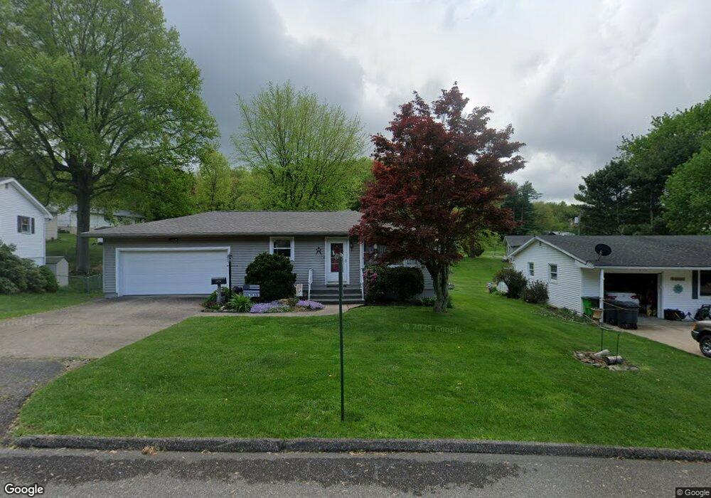
1979 Adams St Coshocton, OH 43812
Estimated Value: $186,000 - $237,000
3
Beds
3
Baths
1,292
Sq Ft
$161/Sq Ft
Est. Value
About This Home
This home is located at 1979 Adams St, Coshocton, OH 43812 and is currently estimated at $208,039, approximately $161 per square foot. 1979 Adams St is a home located in Coshocton County with nearby schools including Coshocton High School, Coshocton Opportunity School, and Sacred Heart Elementary School.
Ownership History
Date
Name
Owned For
Owner Type
Purchase Details
Closed on
Jun 10, 2014
Sold by
Brenneman Sandy J and Carter Brent
Bought by
Posey Denise L
Current Estimated Value
Home Financials for this Owner
Home Financials are based on the most recent Mortgage that was taken out on this home.
Original Mortgage
$99,000
Outstanding Balance
$71,760
Interest Rate
3%
Mortgage Type
Adjustable Rate Mortgage/ARM
Estimated Equity
$136,279
Purchase Details
Closed on
Apr 15, 2003
Sold by
Kaser David R
Bought by
Brenneman Sandy J
Purchase Details
Closed on
May 3, 1995
Sold by
Mast Richard D
Bought by
Kaser David R
Create a Home Valuation Report for This Property
The Home Valuation Report is an in-depth analysis detailing your home's value as well as a comparison with similar homes in the area
Home Values in the Area
Average Home Value in this Area
Purchase History
| Date | Buyer | Sale Price | Title Company |
|---|---|---|---|
| Posey Denise L | $110,000 | None Available | |
| Brenneman Sandy J | $111,000 | -- | |
| Kaser David R | $79,900 | -- |
Source: Public Records
Mortgage History
| Date | Status | Borrower | Loan Amount |
|---|---|---|---|
| Open | Posey Denise L | $99,000 |
Source: Public Records
Tax History Compared to Growth
Tax History
| Year | Tax Paid | Tax Assessment Tax Assessment Total Assessment is a certain percentage of the fair market value that is determined by local assessors to be the total taxable value of land and additions on the property. | Land | Improvement |
|---|---|---|---|---|
| 2024 | $2,197 | $53,230 | $8,740 | $44,490 |
| 2023 | $2,197 | $39,624 | $6,402 | $33,222 |
| 2022 | $1,885 | $39,624 | $6,402 | $33,222 |
| 2021 | $1,889 | $39,624 | $6,402 | $33,222 |
| 2020 | $2,170 | $44,108 | $6,241 | $37,867 |
| 2019 | $2,197 | $44,108 | $6,241 | $37,867 |
| 2018 | $2,035 | $44,108 | $6,241 | $37,867 |
| 2017 | $1,940 | $37,892 | $5,562 | $32,330 |
| 2016 | $1,861 | $37,892 | $5,562 | $32,330 |
| 2015 | $935 | $37,892 | $5,562 | $32,330 |
| 2014 | $1,403 | $30,689 | $5,562 | $25,127 |
Source: Public Records
Map
Nearby Homes
- 1822 Adams St
- 1945 Hall Dr
- 1706 Adams St
- 1521 Elm St
- 0 Adams St
- 1628 Hay Ave
- 745 Sheridan Rd
- 1525 Hay Ave
- 1421 Chestnut St
- 540 Cambridge Rd
- 1333 Kenilworth Ave
- 527 N 16th St
- Lot 7 Country Club Dr
- Lot 2 Country Club Dr
- Lot 1 Country Club Dr
- Lot 5 Country Club Dr
- Lot 4 Country Club Dr
- Lot 3 Country Club Dr
- Lot 6 Country Club Dr
- Lot# 1, S 12th St