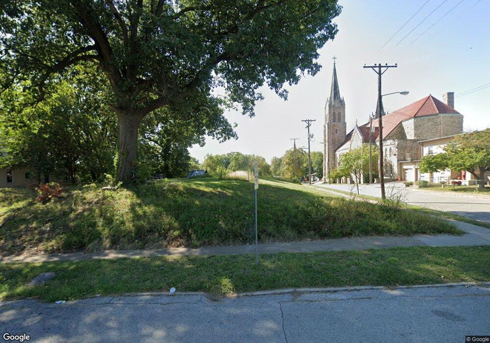
1979 Parallel Ave Kansas City, KS 66104
Northwest Kansas City NeighborhoodEstimated Value: $18,000 - $172,000
--
Bed
--
Bath
--
Sq Ft
6,534
Sq Ft Lot
About This Home
This home is located at 1979 Parallel Ave, Kansas City, KS 66104 and is currently estimated at $87,333. 1979 Parallel Ave is a home with nearby schools including Bertram Caruthers Elementary School, Carl B. Bruce Middle School, and Wyandotte High School.
Ownership History
Date
Name
Owned For
Owner Type
Purchase Details
Closed on
Aug 28, 2009
Sold by
Chwc Inc
Bought by
Wyandotte County Land Bank
Current Estimated Value
Create a Home Valuation Report for This Property
The Home Valuation Report is an in-depth analysis detailing your home's value as well as a comparison with similar homes in the area
Home Values in the Area
Average Home Value in this Area
Purchase History
| Date | Buyer | Sale Price | Title Company |
|---|---|---|---|
| Wyandotte County Land Bank | -- | None Available |
Source: Public Records
Tax History Compared to Growth
Tax History
| Year | Tax Paid | Tax Assessment Tax Assessment Total Assessment is a certain percentage of the fair market value that is determined by local assessors to be the total taxable value of land and additions on the property. | Land | Improvement |
|---|---|---|---|---|
| 2024 | -- | -- | -- | -- |
| 2023 | $0 | $0 | $0 | $0 |
| 2022 | $0 | $0 | $0 | $0 |
| 2021 | $0 | $0 | $0 | $0 |
| 2020 | $0 | $0 | $0 | $0 |
| 2019 | $0 | $0 | $0 | $0 |
| 2018 | $0 | $0 | $0 | $0 |
| 2014 | -- | $0 | $0 | $0 |
Source: Public Records
Map
Nearby Homes
- 1972 Garfield Ave
- 1864 Glendale Ave
- 2124 Lafayette Ave
- 1828 N 19th St
- 2401 Haskell Ave
- 2701 Parallel Ave
- 1814 Walker Ave
- 2010 N 27th St
- 1835 Walker Ave
- 1870 N 27th St
- 1962 N 28th St
- 1527 Haskell Ave
- 2602 N 18th St
- 1502 Wood Ave
- 1810 Freeman Ave
- 1500 Waverly Ave
- 1969 N 30th St
- 1333 Waverly Ave
- 1800 Oakland Ave
- 1831 N 14th St
- 1977 Parallel Ave
- 2007 N 22nd St
- 1975 Parallel Ave
- 1975 Parallel Ave
- 1971 Parallel Ave
- 2003 N 22nd St
- 1972 Troup Ave
- 2001 N 22nd St
- 1970 Troup Ave
- 1967 Parallel Ave
- 1968 Troup Ave
- 1963 Parallel Ave
- 1966 Troup Ave
- 1979 Troup Ave
- 1981 Troup Ave
- 1958 Troup Ave
- 2201 Troup Ave
- 1975 Troup Ave
- 1983 Stewart Ave
- 2207 Troup Ave