198 Curtis Brook Rd Lyndeborough, NH 03082
Estimated Value: $483,026 - $666,000
3
Beds
3
Baths
1,736
Sq Ft
$331/Sq Ft
Est. Value
About This Home
This home is located at 198 Curtis Brook Rd, Lyndeborough, NH 03082 and is currently estimated at $574,342, approximately $330 per square foot. 198 Curtis Brook Rd is a home with nearby schools including Lyndeborough Central School, Wilton-Lyndeborough Cooperative Middle School, and Wilton-Lyndeborough Cooperative High School.
Ownership History
Date
Name
Owned For
Owner Type
Purchase Details
Closed on
Oct 27, 1997
Sold by
Gibbons Henry H and Gibbons Paul J
Bought by
Bernier Thomas J and Bernier Valerie M
Current Estimated Value
Create a Home Valuation Report for This Property
The Home Valuation Report is an in-depth analysis detailing your home's value as well as a comparison with similar homes in the area
Home Values in the Area
Average Home Value in this Area
Purchase History
| Date | Buyer | Sale Price | Title Company |
|---|---|---|---|
| Bernier Thomas J | $18,900 | -- |
Source: Public Records
Mortgage History
| Date | Status | Borrower | Loan Amount |
|---|---|---|---|
| Open | Bernier Thomas J | $135,000 | |
| Closed | Bernier Thomas J | $20,000 |
Source: Public Records
Tax History Compared to Growth
Tax History
| Year | Tax Paid | Tax Assessment Tax Assessment Total Assessment is a certain percentage of the fair market value that is determined by local assessors to be the total taxable value of land and additions on the property. | Land | Improvement |
|---|---|---|---|---|
| 2024 | $6,876 | $265,900 | $106,600 | $159,300 |
| 2023 | $6,320 | $265,900 | $106,600 | $159,300 |
| 2022 | $5,876 | $265,900 | $106,600 | $159,300 |
| 2021 | $5,876 | $265,900 | $106,600 | $159,300 |
| 2020 | $8,007 | $265,900 | $106,600 | $159,300 |
| 2019 | $514 | $221,900 | $100,700 | $121,200 |
| 2018 | $6,368 | $221,900 | $100,700 | $121,200 |
| 2017 | $6,156 | $221,900 | $100,700 | $121,200 |
| 2016 | $6,156 | $221,900 | $100,700 | $121,200 |
| 2015 | $5,612 | $221,900 | $100,700 | $121,200 |
| 2013 | $5,052 | $210,500 | $108,000 | $102,500 |
Source: Public Records
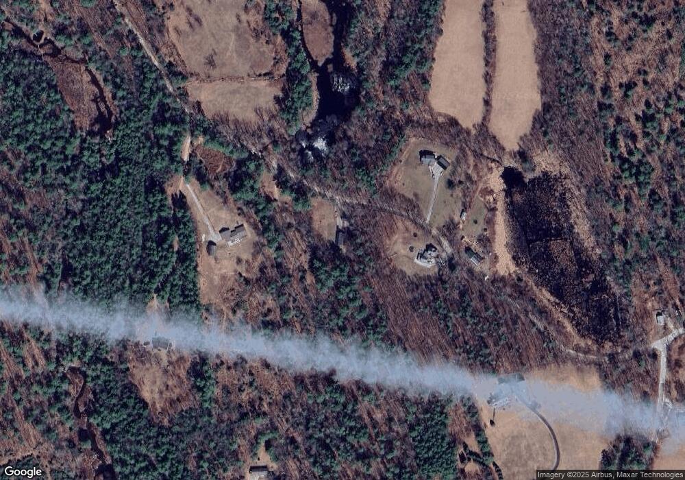
Map
Nearby Homes
- 80 Salisbury Rd
- 79 Salisbury Rd
- 2 Wallace Ln
- 24 Glass Factory Rd
- 69 Purgatory Rd
- 222 Forest Rd
- 4 Trow Rd
- 31 Cross Rd
- 57 Richardson Rd
- 8 Francestown Turnpike
- 26 N Main St Unit 7
- 26 N Main St Unit 9
- 8 Maple St
- 10 Mill St
- 134 Falcon Ridge Rd Unit 23
- 27 Island St
- 2-47 Old Amherst Rd
- 17 Grand Hill Rd
- A 66 Burton Hwy
- 81 Abbot Hill Acres
- 218 Curtis Brook Rd
- 170 Curtis Brook Rd
- 215 Curtis Brook Rd
- 221 Curtis Brook Rd
- 169 Johnson Corner Rd
- 225-026 Curtis Brook Rd
- 225-025 Curtis Brook Rd
- 7-2-2 Curtis Brook Rd
- 7-2-1 Curtis Brook Rd
- 25 Curtis Brook Rd
- 43 Curtis Brook Rd
- 706 Center Rd
- 48 Gregory Ln
- #225-025 Curtis Brook Rd
- #225-026 Curtis Brook Rd
- 0 Curtis Brook Rd
- 3 Purgatory Falls Rd
- 13 Purgatory Falls Rd
- 135 Johnson Corner Rd
- 190 Johnson Corner Rd