198 Dune Ave Mantoloking, NJ 08738
Estimated Value: $3,029,518 - $3,794,000
4
Beds
4
Baths
2,939
Sq Ft
$1,183/Sq Ft
Est. Value
About This Home
This home is located at 198 Dune Ave, Mantoloking, NJ 08738 and is currently estimated at $3,476,173, approximately $1,182 per square foot. 198 Dune Ave is a home located in Ocean County with nearby schools including Emma Havens Young Elementary School, Lake Riviera Middle School, and Brick Township High School.
Ownership History
Date
Name
Owned For
Owner Type
Purchase Details
Closed on
Jun 27, 2024
Sold by
Omalley Ronald J
Bought by
Omalley Ronald J and Omalley Patrice
Current Estimated Value
Purchase Details
Closed on
Jan 13, 1999
Sold by
Kantra Blanche
Bought by
Omalley Ronald J and Omalley Viola M
Home Financials for this Owner
Home Financials are based on the most recent Mortgage that was taken out on this home.
Original Mortgage
$450,000
Interest Rate
6.7%
Create a Home Valuation Report for This Property
The Home Valuation Report is an in-depth analysis detailing your home's value as well as a comparison with similar homes in the area
Home Values in the Area
Average Home Value in this Area
Purchase History
| Date | Buyer | Sale Price | Title Company |
|---|---|---|---|
| Omalley Ronald J | -- | Elite Title | |
| Omalley Ronald J | -- | Elite Title | |
| Omalley Ronald J | $810,000 | -- |
Source: Public Records
Mortgage History
| Date | Status | Borrower | Loan Amount |
|---|---|---|---|
| Previous Owner | Omalley Ronald J | $450,000 |
Source: Public Records
Tax History
| Year | Tax Paid | Tax Assessment Tax Assessment Total Assessment is a certain percentage of the fair market value that is determined by local assessors to be the total taxable value of land and additions on the property. | Land | Improvement |
|---|---|---|---|---|
| 2025 | $37,322 | $1,444,900 | $1,087,500 | $357,400 |
| 2024 | $35,472 | $1,444,900 | $1,087,500 | $357,400 |
Source: Public Records
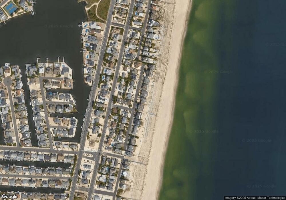
Map
Nearby Homes
- 304 Schooner Ln
- 150 Sunset Ln
- 122 Squan Beach Dr
- 311 Brigantine Ln
- 181 Squan Beach Dr
- 1581 Ocean Ave
- 233 Curtis Point Dr
- 275 Curtis Point Dr
- 1519 Runyon Ln
- 1521 Ocean Ave
- 366 Highway 35 N
- 1501 Ocean Ave
- 438 Route 35 N Unit 2104
- 438 Route 35 N Unit 3201
- 438 Highway 35 N Unit 1304
- 438 Highway 35 N Unit 1202
- 461 New Jersey 35
- 1318 Ocean Ave
- 499 Ellison Dr
- 1207 Ocean Ave
Your Personal Tour Guide
Ask me questions while you tour the home.