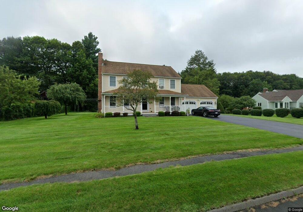
198 General Hobbs Rd Jefferson, MA 01522
Estimated Value: $611,000 - $662,000
4
Beds
3
Baths
1,976
Sq Ft
$326/Sq Ft
Est. Value
About This Home
This home is located at 198 General Hobbs Rd, Jefferson, MA 01522 and is currently estimated at $644,776, approximately $326 per square foot. 198 General Hobbs Rd is a home located in Worcester County with nearby schools including Wachusett Regional High School and Holden Christian Academy.
Ownership History
Date
Name
Owned For
Owner Type
Purchase Details
Closed on
Oct 7, 1994
Sold by
High Plain Estates Inc
Bought by
Gardner Mark and Parady Karen
Current Estimated Value
Home Financials for this Owner
Home Financials are based on the most recent Mortgage that was taken out on this home.
Original Mortgage
$128,000
Interest Rate
8.55%
Mortgage Type
Purchase Money Mortgage
Create a Home Valuation Report for This Property
The Home Valuation Report is an in-depth analysis detailing your home's value as well as a comparison with similar homes in the area
Home Values in the Area
Average Home Value in this Area
Purchase History
| Date | Buyer | Sale Price | Title Company |
|---|---|---|---|
| Gardner Mark | $145,000 | -- |
Source: Public Records
Mortgage History
| Date | Status | Borrower | Loan Amount |
|---|---|---|---|
| Open | Gardner Mark | $69,630 | |
| Open | Gardner Mark | $125,000 | |
| Closed | Gardner Mark | $128,000 |
Source: Public Records
Tax History Compared to Growth
Tax History
| Year | Tax Paid | Tax Assessment Tax Assessment Total Assessment is a certain percentage of the fair market value that is determined by local assessors to be the total taxable value of land and additions on the property. | Land | Improvement |
|---|---|---|---|---|
| 2025 | $8,078 | $582,800 | $201,900 | $380,900 |
| 2024 | $7,740 | $547,000 | $196,100 | $350,900 |
| 2023 | $7,368 | $491,500 | $170,400 | $321,100 |
| 2022 | $6,995 | $422,400 | $133,400 | $289,000 |
| 2021 | $7,089 | $407,400 | $127,200 | $280,200 |
| 2020 | $5,702 | $404,000 | $121,400 | $282,600 |
| 2019 | $6,753 | $387,000 | $121,400 | $265,600 |
| 2018 | $4,339 | $369,000 | $115,700 | $253,300 |
| 2017 | $6,274 | $356,700 | $115,700 | $241,000 |
| 2016 | $5,939 | $344,300 | $110,400 | $233,900 |
| 2015 | $6,059 | $334,400 | $110,400 | $224,000 |
| 2014 | $5,991 | $337,500 | $110,400 | $227,100 |
Source: Public Records
Map
Nearby Homes
- Lot 1 Manning St
- 60 Duxbury Dr
- 35 Laurel Hill Ln
- 16 Highland Ave
- 9 Short St
- 56 Highland Ave
- 3 Oakridge Rd
- 141 Lovell Rd
- 0 North St
- 300 Malden St
- 287 Laurel St
- 33 Meadow Wood Dr
- 40 Jackson St
- 40 Princeton St
- 206 Wachusett St
- 47 Preservation Ln
- 8 (Lot 1) Holmes Dr
- 100 Avery Heights Dr
- 124 Bailey Rd
- 26 Avery Heights Dr
- 206 General Hobbs Rd
- 190 General Hobbs Rd
- 214 General Hobbs Rd
- 214 General Hobbs Rd Unit 21-4
- 182 General Hobbs Rd
- 189 General Hobbs Rd
- 203 General Hobbs Rd
- 175 General Hobbs Rd
- 217 General Hobbs Rd
- 224 General Hobbs Rd
- 176 General Hobbs Rd
- 42 Pinebrook Ln
- 168 General Hobbs Rd
- 39 Pinebrook Ln
- 225 General Hobbs Rd
- 163 General Hobbs Rd
- 234 General Hobbs Rd
- 38 Pinebrook Ln
- 71 Nichols St
- 15 Manning St