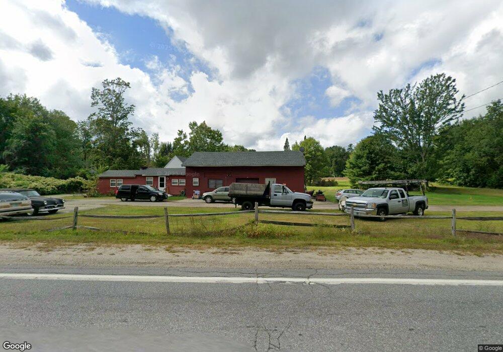
198 Mont Vernon Rd Milford, NH 03055
Estimated Value: $383,709 - $573,000
2
Beds
1
Bath
1,297
Sq Ft
$357/Sq Ft
Est. Value
About This Home
This home is located at 198 Mont Vernon Rd, Milford, NH 03055 and is currently estimated at $462,677, approximately $356 per square foot. 198 Mont Vernon Rd is a home with nearby schools including Jacques Memorial Elementary School, Heron Pond Elementary School, and Milford Middle School.
Ownership History
Date
Name
Owned For
Owner Type
Purchase Details
Closed on
Mar 31, 1998
Sold by
Riccitelli Barbara H
Bought by
Trombly Stephen H
Current Estimated Value
Home Financials for this Owner
Home Financials are based on the most recent Mortgage that was taken out on this home.
Original Mortgage
$75,100
Outstanding Balance
$14,082
Interest Rate
6.96%
Estimated Equity
$448,595
Create a Home Valuation Report for This Property
The Home Valuation Report is an in-depth analysis detailing your home's value as well as a comparison with similar homes in the area
Home Values in the Area
Average Home Value in this Area
Purchase History
| Date | Buyer | Sale Price | Title Company |
|---|---|---|---|
| Trombly Stephen H | $81,500 | -- |
Source: Public Records
Mortgage History
| Date | Status | Borrower | Loan Amount |
|---|---|---|---|
| Open | Trombly Stephen H | $75,100 |
Source: Public Records
Tax History Compared to Growth
Tax History
| Year | Tax Paid | Tax Assessment Tax Assessment Total Assessment is a certain percentage of the fair market value that is determined by local assessors to be the total taxable value of land and additions on the property. | Land | Improvement |
|---|---|---|---|---|
| 2024 | $6,381 | $269,600 | $125,400 | $144,200 |
| 2023 | $5,977 | $269,600 | $125,400 | $144,200 |
| 2022 | $5,605 | $269,600 | $125,400 | $144,200 |
| 2021 | $5,432 | $269,600 | $125,400 | $144,200 |
| 2020 | $6,089 | $240,000 | $108,200 | $131,800 |
| 2019 | $6,233 | $240,000 | $108,200 | $131,800 |
| 2018 | $6,368 | $215,100 | $108,200 | $106,900 |
| 2017 | $5,497 | $215,100 | $108,200 | $106,900 |
| 2016 | $6,229 | $215,100 | $108,200 | $106,900 |
| 2015 | $6,015 | $210,600 | $108,200 | $102,400 |
| 2014 | $5,749 | $210,600 | $108,200 | $102,400 |
| 2013 | $5,696 | $211,200 | $108,200 | $103,000 |
Source: Public Records
Map
Nearby Homes
- 229 Mont Vernon Rd
- 57 Patch Hill Ln
- 3 Abby Ln Unit 2
- 30 Perkins St Unit 1
- 18 Adams St
- 64 Lyndeborough Rd
- 0 Briar Cliff Dr
- 40 North St
- 24 Spaulding St
- 344 Elm St Unit 16
- 131 Homestead Cir
- 32 Larch Rd
- 26 Oak St
- 145 Westchester Dr
- 51 Singer Brook Rd
- 80 Christian Hill Rd
- 61 W Meadow Ct
- 43 Boxwood Cir
- 44 Osgood Rd
- 67 Christian Hill Rd
- 1 Patch Hill Ln
- 14 Patch Hill Ln Unit 1
- 190 Mont Vernon Rd
- 205 Mont Vernon Rd
- 210 Mont Vernon Rd
- 189 Mont Vernon Rd
- 216 Mont Vernon Rd
- 11 Patch Hill Ln
- 211 Mont Vernon Rd
- 211 Mont Vernon Rd
- 211 Mount Vernon I-150
- 196 Mont Vernon Rd
- 8 Lorisa Ln
- 17 Hutchinson Dr
- 185 Mont Vernon Rd
- 10 Buxton Rd
- 176 Mont Vernon Rd
- 176 Mont Vernon St
- 223 Mont Vernon Rd
- 19 Patch Hill Ln Unit 1