198 Pops Rd Trafford, AL 35172
--
Bed
--
Bath
2,240
Sq Ft
217,800
Sq Ft Lot
About This Home
This home is located at 198 Pops Rd, Trafford, AL 35172. 198 Pops Rd is a home located in Blount County with nearby schools including Locust Fork Elementary School and Locust Fork High School.
Create a Home Valuation Report for This Property
The Home Valuation Report is an in-depth analysis detailing your home's value as well as a comparison with similar homes in the area
Tax History
| Year | Tax Paid | Tax Assessment Tax Assessment Total Assessment is a certain percentage of the fair market value that is determined by local assessors to be the total taxable value of land and additions on the property. | Land | Improvement |
|---|---|---|---|---|
| 2024 | -- | $9,160 | $3,600 | $5,560 |
| 2023 | $0 | $10,960 | $3,600 | $7,360 |
| 2022 | $0 | $9,620 | $3,600 | $6,020 |
| 2021 | $151 | $7,160 | $2,600 | $4,560 |
| 2020 | $151 | $7,380 | $2,580 | $4,800 |
| 2019 | $151 | $7,200 | $2,400 | $4,800 |
| 2018 | $151 | $7,040 | $2,380 | $4,660 |
| 2017 | $104 | $5,240 | $0 | $0 |
| 2015 | -- | $5,080 | $0 | $0 |
| 2014 | -- | $5,560 | $0 | $0 |
| 2013 | -- | $5,800 | $0 | $0 |
Source: Public Records
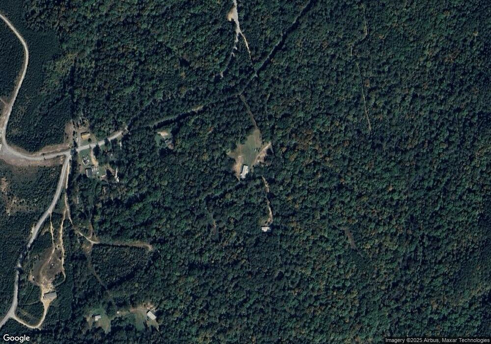
Map
Nearby Homes
- 0 Dorning Rd Unit 21447574
- 5330 Deans Ferry Rd
- 370 River Oak Trail
- 5304 Deans Ferry Rd
- 115 Quail Hollow Rd
- 176 Quail Hollow Rd
- 73 Bambi Cir
- 284 Deer Crossing Rd
- 100 Miranda Rd
- 315 Ty Ln
- 320 Willow Ln
- 45 Green Acres Ln
- 125 Bailey Way
- 252 Bailey Way
- 1259 Railroad Dr
- 236 Green Acres Blvd
- 59 Brandonwood Dr
- 2552 Trafford County Line Rd
- 729 Deans Ferry Rd
- 10450 Thermal Rd
- 232 Pops Rd
- 4637 Lehigh Rd
- 4699 Lehigh Rd
- 4684 Lehigh Rd
- 4697 Lehigh Rd
- 4927 Lehigh Rd Unit 2 ACRES
- 4925 Lehigh Rd
- 4295 Lehigh Rd
- 4229 Lehigh Rd
- 4189 Lehigh Rd
- 4310 Lehigh Rd
- 4290 Lehigh Rd
- 4115 Lehigh Rd
- 4236 Lehigh Rd
- 114 Curry Rd
- 4140 Lehigh Rd
- 3831 Lehigh Rd
- 4130 Lehigh Rd
- 5220 Lehigh Rd
- 3853 Lehigh Rd
Your Personal Tour Guide
Ask me questions while you tour the home.