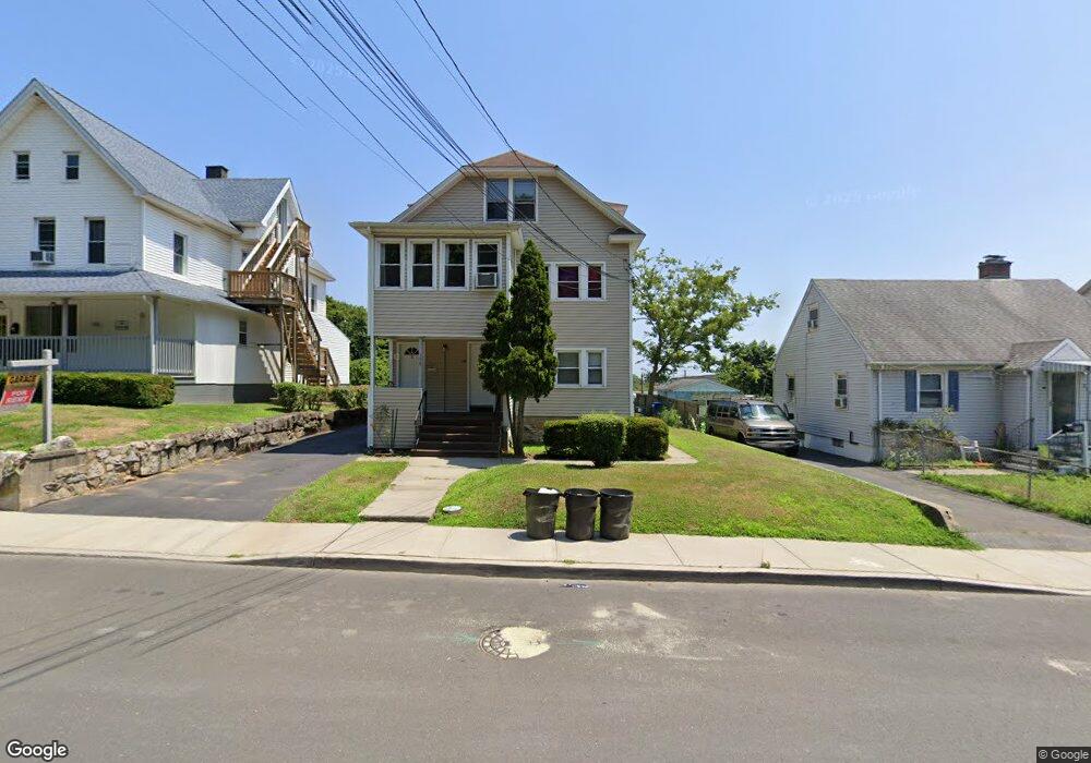
198 S Main St Norwalk, CT 06854
South Norwalk NeighborhoodEstimated Value: $555,107 - $788,000
3
Beds
2
Baths
1,319
Sq Ft
$539/Sq Ft
Est. Value
About This Home
This home is located at 198 S Main St, Norwalk, CT 06854 and is currently estimated at $711,277, approximately $539 per square foot. 198 S Main St is a home located in Fairfield County with nearby schools including Silvermine Elementary School, West Rocks Middle School, and Norwalk High School.
Ownership History
Date
Name
Owned For
Owner Type
Purchase Details
Closed on
Dec 2, 2022
Sold by
Koproski Gregory A and Koproski Michele N
Bought by
198 South Main St Llc
Current Estimated Value
Purchase Details
Closed on
Oct 20, 1993
Sold by
Szocs Emma and Pirro Charles
Bought by
Koproski Gregory and Koproski Michele
Create a Home Valuation Report for This Property
The Home Valuation Report is an in-depth analysis detailing your home's value as well as a comparison with similar homes in the area
Home Values in the Area
Average Home Value in this Area
Purchase History
| Date | Buyer | Sale Price | Title Company |
|---|---|---|---|
| 198 South Main St Llc | -- | None Available | |
| 198 South Main St Llc | -- | None Available | |
| Koproski Gregory | $105,000 | -- | |
| Koproski Gregory | $105,000 | -- |
Source: Public Records
Mortgage History
| Date | Status | Borrower | Loan Amount |
|---|---|---|---|
| Previous Owner | Koproski Gregory | $40,000 | |
| Previous Owner | Koproski Gregory | $68,200 |
Source: Public Records
Tax History Compared to Growth
Tax History
| Year | Tax Paid | Tax Assessment Tax Assessment Total Assessment is a certain percentage of the fair market value that is determined by local assessors to be the total taxable value of land and additions on the property. | Land | Improvement |
|---|---|---|---|---|
| 2025 | $10,432 | $436,480 | $98,530 | $337,950 |
| 2024 | $10,277 | $436,480 | $98,530 | $337,950 |
| 2023 | $8,383 | $334,190 | $85,300 | $248,890 |
| 2022 | $8,203 | $334,190 | $85,300 | $248,890 |
| 2021 | $8,011 | $334,190 | $85,300 | $248,890 |
| 2020 | $8,006 | $334,190 | $85,300 | $248,890 |
| 2019 | $7,792 | $334,190 | $85,300 | $248,890 |
| 2018 | $5,766 | $216,740 | $83,000 | $133,740 |
| 2017 | $5,566 | $216,740 | $83,000 | $133,740 |
| 2016 | $5,514 | $216,740 | $83,000 | $133,740 |
| 2015 | $5,499 | $216,740 | $83,000 | $133,740 |
| 2014 | $5,427 | $216,740 | $83,000 | $133,740 |
Source: Public Records
Map
Nearby Homes
- 9 Lawrence St
- 52 Lexington Ave
- 41 Baxter Dr
- 58 Shorefront Park
- 9 Observatory Place Unit A
- 47 Glasser St
- 28 Chestnut St
- 25 Chestnut St Unit 1-I
- 5 Rockland Rd Unit A8
- 18 Soundview Ave
- 7 Hamilton Ave Unit 32
- 5 Outer Rd
- 8 Oliver St
- 15 Madison St Unit F9
- 15 Madison St Unit G11
- 42 S Main St Unit 202
- 7 Hadik Pkwy
- 187 Flax Hill Rd Unit D5
- 94 Washington St Unit 20
- 134 Washington St Unit 206
- 198 S Main St Unit 2
- 196 S Main St
- 196 S Main St Unit 196SouthMainStreet
- 196 S Main St Unit 1
- 196 S Main St Unit 2
- 200 S Main St
- 202 S Main St
- 194 S Main St
- 194 S Main St Unit A
- 204 S Main St
- 192 S Main St
- 206 S Main St
- 190 S Main St
- 208 S Main St
- 19 Meadow St
- 11 Meadow St
- 11 Novak St
- 13 Novak St
- 9 Novak St
- 15 Novak St