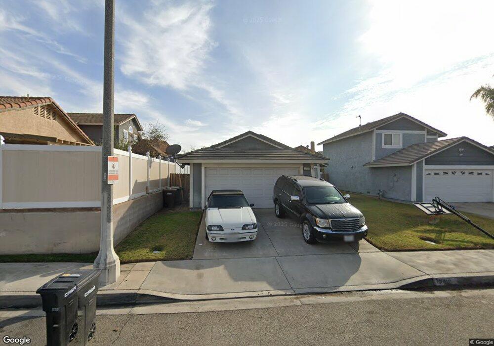
1980 Date Tree Rd Colton, CA 92324
Estimated Value: $503,000 - $566,000
3
Beds
2
Baths
1,206
Sq Ft
$435/Sq Ft
Est. Value
About This Home
This home is located at 1980 Date Tree Rd, Colton, CA 92324 and is currently estimated at $524,373, approximately $434 per square foot. 1980 Date Tree Rd is a home located in San Bernardino County with nearby schools including Ernest Garcia Elementary School, William G. Jehue Middle School, and Rialto High School.
Ownership History
Date
Name
Owned For
Owner Type
Purchase Details
Closed on
Jul 18, 2025
Sold by
Fugate David
Bought by
Fugate Family Revocable Living Trust and Fugate
Current Estimated Value
Purchase Details
Closed on
Mar 7, 2022
Sold by
David Fugate Jr
Bought by
Fugate David
Home Financials for this Owner
Home Financials are based on the most recent Mortgage that was taken out on this home.
Original Mortgage
$300,000
Interest Rate
3.92%
Mortgage Type
New Conventional
Purchase Details
Closed on
Jul 3, 2001
Sold by
Hud
Bought by
Fugate David
Home Financials for this Owner
Home Financials are based on the most recent Mortgage that was taken out on this home.
Original Mortgage
$112,507
Interest Rate
7.09%
Mortgage Type
FHA
Purchase Details
Closed on
May 2, 2001
Sold by
Union Planters Bank Na
Bought by
Hud
Purchase Details
Closed on
Jan 24, 2001
Sold by
Maleskey Michael J and Maleskey Laura E
Bought by
Union Planters Bank Na
Create a Home Valuation Report for This Property
The Home Valuation Report is an in-depth analysis detailing your home's value as well as a comparison with similar homes in the area
Home Values in the Area
Average Home Value in this Area
Purchase History
| Date | Buyer | Sale Price | Title Company |
|---|---|---|---|
| Fugate Family Revocable Living Trust | -- | None Listed On Document | |
| Fugate David | -- | Chicago Title | |
| Fugate David | -- | Chicago Title | |
| Fugate David | $114,500 | Fidelity National Title | |
| Hud | $107,937 | Fidelity Title | |
| Union Planters Bank Na | $107,937 | Fidelity Title |
Source: Public Records
Mortgage History
| Date | Status | Borrower | Loan Amount |
|---|---|---|---|
| Previous Owner | Fugate David | $300,000 | |
| Previous Owner | Fugate David | $112,507 |
Source: Public Records
Tax History
| Year | Tax Paid | Tax Assessment Tax Assessment Total Assessment is a certain percentage of the fair market value that is determined by local assessors to be the total taxable value of land and additions on the property. | Land | Improvement |
|---|---|---|---|---|
| 2025 | $2,220 | $169,151 | $36,932 | $132,219 |
| 2024 | $2,146 | $165,834 | $36,208 | $129,626 |
| 2023 | $2,281 | $162,582 | $35,498 | $127,084 |
| 2022 | $2,126 | $159,394 | $34,802 | $124,592 |
| 2021 | $2,113 | $156,269 | $34,120 | $122,149 |
| 2020 | $2,126 | $154,667 | $33,770 | $120,897 |
| 2019 | $2,080 | $151,634 | $33,108 | $118,526 |
| 2018 | $2,023 | $148,661 | $32,459 | $116,202 |
| 2017 | $2,008 | $145,747 | $31,823 | $113,924 |
| 2016 | $1,987 | $142,889 | $31,199 | $111,690 |
| 2015 | $1,995 | $140,742 | $30,730 | $110,012 |
| 2014 | $1,883 | $137,985 | $30,128 | $107,857 |
Source: Public Records
Map
Nearby Homes
- 2010 Date Tree Rd
- 1972 De Anza Dr
- 1025 Sur Riverside Ave Unit 26
- 340 Lilly St
- 1150 Express Cir
- 825 S Acacia Ave
- 807 S Acacia Ave
- 1155 S Riverside Ave Unit 39
- 1155 S Riverside Ave Unit 22
- 1155 S Riverside Ave Unit 7
- 3004 Cardamon St
- 881 S Lamarr St
- 827 S Riverside Ave
- 629 S Sage Ave
- 426 E Orchard St
- 125 W Alru St
- 200 W San Bernardino Ave Unit 1
- 200 W San Bernardino Ave Unit 3
- 200 W San Bernardino Ave Unit 85
- 200 W San Bernardino Ave Unit 46
- 1982 Date Tree Rd
- 1131 Christobal Ln
- 1145 Christobal Ln
- 1984 Date Tree Rd
- 1115 Christobal Ln
- 1981 Fig Tree Rd
- 1986 Date Tree Rd
- 1983 Fig Tree Rd
- 1204 Coral Tree Rd
- 1985 Fig Tree Rd
- 1159 Christobal Ln
- 1101 Christobal Ln
- 1987 Fig Tree Rd
- 1988 Date Tree Rd
- 1230 Coral Tree Rd
- 1989 Fig Tree Rd
- 1187 Christobal Ln
- 1098 Jacaranda Rd
- 1990 Date Tree Rd
- 1996 Sosa Ln