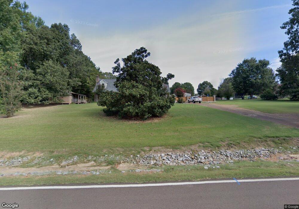
1980 Pine Tree Rd Hernando, MS 38632
Estimated Value: $335,000 - $532,000
4
Beds
4
Baths
3,008
Sq Ft
$152/Sq Ft
Est. Value
About This Home
This home is located at 1980 Pine Tree Rd, Hernando, MS 38632 and is currently estimated at $458,575, approximately $152 per square foot. 1980 Pine Tree Rd is a home located in DeSoto County with nearby schools including Oak Grove Central Elementary School, Hernando Elementary School, and Hernando Hills Elementary.
Ownership History
Date
Name
Owned For
Owner Type
Purchase Details
Closed on
Dec 17, 2019
Sold by
Turner Elizabeth Skelton
Bought by
Smith Terri Skelton and Skelton Melinda
Current Estimated Value
Purchase Details
Closed on
Mar 19, 2019
Sold by
Smith Charles H
Bought by
Smith Charles H and Smith Terri
Purchase Details
Closed on
Nov 1, 2010
Sold by
Federal National Mortgage Association
Bought by
Smith Charles H
Home Financials for this Owner
Home Financials are based on the most recent Mortgage that was taken out on this home.
Original Mortgage
$145,500
Interest Rate
4.38%
Mortgage Type
New Conventional
Purchase Details
Closed on
Aug 3, 2010
Sold by
Rodgers Michael R
Bought by
Federal National Mortgage Association
Create a Home Valuation Report for This Property
The Home Valuation Report is an in-depth analysis detailing your home's value as well as a comparison with similar homes in the area
Home Values in the Area
Average Home Value in this Area
Purchase History
| Date | Buyer | Sale Price | Title Company |
|---|---|---|---|
| Smith Terri Skelton | -- | None Available | |
| Smith Charles H | -- | None Available | |
| Smith Charles H | -- | First American Title Ins Co | |
| Federal National Mortgage Association | $191,023 | None Available |
Source: Public Records
Mortgage History
| Date | Status | Borrower | Loan Amount |
|---|---|---|---|
| Previous Owner | Smith Charles H | $145,500 |
Source: Public Records
Tax History Compared to Growth
Tax History
| Year | Tax Paid | Tax Assessment Tax Assessment Total Assessment is a certain percentage of the fair market value that is determined by local assessors to be the total taxable value of land and additions on the property. | Land | Improvement |
|---|---|---|---|---|
| 2025 | $2,396 | $32,287 | $2,000 | $30,287 |
| 2024 | $2,048 | $23,486 | $2,000 | $21,486 |
| 2023 | $2,048 | $23,486 | $0 | $0 |
| 2022 | $2,048 | $23,486 | $2,000 | $21,486 |
| 2021 | $1,742 | $20,427 | $2,000 | $18,427 |
| 2020 | $1,678 | $16,784 | $0 | $0 |
| 2019 | $1,283 | $15,836 | $2,000 | $13,836 |
| 2017 | $1,246 | $28,708 | $15,354 | $13,354 |
| 2016 | $1,246 | $15,354 | $2,000 | $13,354 |
| 2015 | $1,546 | $28,708 | $15,354 | $13,354 |
| 2014 | $1,246 | $15,354 | $0 | $0 |
| 2013 | $1,315 | $15,354 | $0 | $0 |
Source: Public Records
Map
Nearby Homes
- 2288 Wanda Faye Dr
- 25 Robertson Rd S
- 420 Buck Cove
- 1209 Flint Lock Cove
- 1250 Robertson Rd
- 732 Shadow View Dr
- 566 Shadow View Dr E
- 1123 Peggy Cove
- 1094 Peggy Cove
- 1107 Sabrina Dr
- 0 S Old Hwy 51 Unit 4105246
- 5157 U S 51
- 5153 U S 51
- 5163 U S 51
- 5135 U S 51
- 5147 U S 51
- 5167 U S 51
- 5093 U S 51
- 470 Beacon Hill Dr
- 2 A U S Highway 51
- 975 Reed Rd
- 2026 Pine Tree Rd
- 925 Reed Rd
- 2020 Pine Tree Rd
- 2050 Pine Tree Rd
- 905 Reed Rd
- 970 Reed Rd
- 930 Reed Rd
- 875 Reed Rd
- 835 Reed Rd
- 2100 Pine Tree Rd
- 771 Rodeo Way
- 795 Reed Rd
- 2022 Pine Tree Loop
- 2022 Pine Tree Rd
- 1744 Pine Tree Loop
- 2077 Wanda Faye Dr
- 2282 Pine Tree Loop
- 730 Reed Rd
- 2025 Wanda Faye Dr