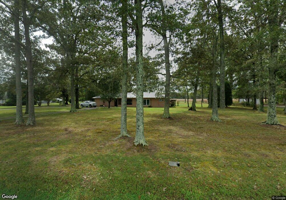
1980 Wayside Rd Manchester, TN 37355
Estimated Value: $310,000 - $350,000
Studio
1
Bath
2,242
Sq Ft
$149/Sq Ft
Est. Value
About This Home
This home is located at 1980 Wayside Rd, Manchester, TN 37355 and is currently estimated at $333,313, approximately $148 per square foot. 1980 Wayside Rd is a home located in Coffee County with nearby schools including New Union Elementary School, Coffee County Middle School, and Coffee County Central High School.
Ownership History
Date
Name
Owned For
Owner Type
Purchase Details
Closed on
Oct 2, 2020
Sold by
Wheeler John L and Wheeler Sandra L
Bought by
Bartlett Bryan J and Bartlett Peyton K
Current Estimated Value
Home Financials for this Owner
Home Financials are based on the most recent Mortgage that was taken out on this home.
Original Mortgage
$160,900
Outstanding Balance
$142,138
Interest Rate
2.9%
Mortgage Type
New Conventional
Estimated Equity
$191,175
Purchase Details
Closed on
Jan 22, 2003
Sold by
Hodges James Dale
Bought by
Wheeler John L and Wheeler Sandra L
Create a Home Valuation Report for This Property
The Home Valuation Report is an in-depth analysis detailing your home's value as well as a comparison with similar homes in the area
Purchase History
| Date | Buyer | Sale Price | Title Company |
|---|---|---|---|
| Bartlett Bryan J | $160,900 | Bell & Alexander Ttl Svcs In | |
| Wheeler John L | $84,500 | -- |
Source: Public Records
Mortgage History
| Date | Status | Borrower | Loan Amount |
|---|---|---|---|
| Open | Bartlett Bryan J | $160,900 |
Source: Public Records
Tax History
| Year | Tax Paid | Tax Assessment Tax Assessment Total Assessment is a certain percentage of the fair market value that is determined by local assessors to be the total taxable value of land and additions on the property. | Land | Improvement |
|---|---|---|---|---|
| 2025 | $1,091 | $46,800 | $5,000 | $41,800 |
| 2024 | $1,091 | $46,800 | $5,000 | $41,800 |
| 2023 | $1,091 | $46,800 | $0 | $0 |
| 2022 | $1,091 | $46,800 | $5,000 | $41,800 |
| 2021 | $1,094 | $37,300 | $3,750 | $33,550 |
| 2020 | $727 | $37,300 | $3,750 | $33,550 |
| 2019 | $727 | $24,800 | $3,750 | $21,050 |
| 2018 | $727 | $24,800 | $3,750 | $21,050 |
| 2017 | $694 | $21,275 | $3,750 | $17,525 |
| 2016 | $694 | $21,275 | $3,750 | $17,525 |
| 2015 | $694 | $21,275 | $3,750 | $17,525 |
| 2014 | $694 | $21,265 | $0 | $0 |
Source: Public Records
Map
Nearby Homes
- 2635 Pete Sain Rd
- 670 Old McMinnville Hwy
- 363 Willow Brook Dr
- 300 Willow Brook Dr
- 577 Maple Springs Rd
- 667 Pete Sain Rd
- 0 Maple Springs Rd Unit 1
- 22 Hickory Dr
- 442 Carr Rd
- 0 Sunset Dr Unit 57-59,
- 0 Sunset Dr Unit 26596511
- 3441 Woodbury Hwy Unit 3441
- 106 Rigney Rd
- 407 Richland Farms Dr
- 106 Grandview Dr
- 485 Rigney Rd
- 315 New Union Heights
- 1395 Ragsdale Rd
- 40 Stonehenge Ln
- 20 Stonehenge Ln
- 2020 Wayside Rd
- 2050 Wayside Rd
- 1929 Wayside Rd
- 2041 Wayside Rd
- 2082 Wayside Rd
- 2126 Wayside Rd
- 2127 Wayside Rd
- 2160 Wayside Rd
- 2161 Wayside Rd
- 2196 Wayside Rd
- 277 Country Air Ln
- 189 Country Air Ln
- 159 Country Air Ln
- 119 Wright Rd
- 129 Country Air Ln
- 2230 Wayside Rd
- 103 Country Air Ln
- 143 Wright Rd
- 79 Country Air Ln
- 49 Country Air Ln
Your Personal Tour Guide
Ask me questions while you tour the home.