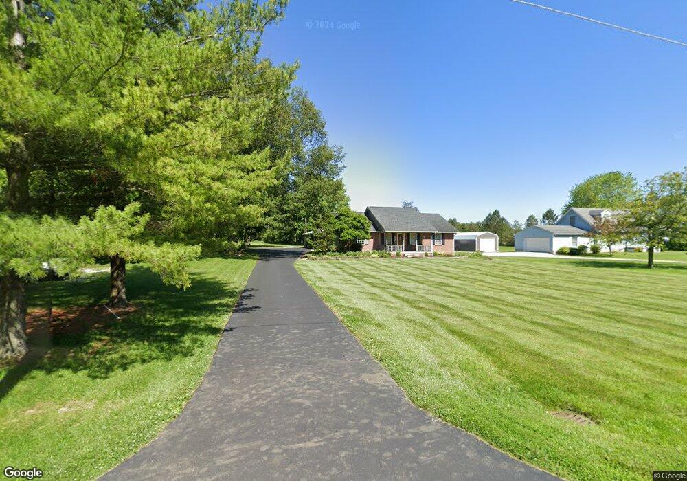
1980 Whetstone St Bucyrus, OH 44820
Estimated Value: $253,418 - $313,000
2
Beds
2
Baths
1,232
Sq Ft
$230/Sq Ft
Est. Value
About This Home
This home is located at 1980 Whetstone St, Bucyrus, OH 44820 and is currently estimated at $283,355, approximately $229 per square foot. 1980 Whetstone St is a home located in Crawford County with nearby schools including Hannah Crawford Elementary School (PK-2), Hannah Crawford Elementary School (3 - 5), and William Crawford Intermediate School.
Ownership History
Date
Name
Owned For
Owner Type
Purchase Details
Closed on
Aug 16, 2021
Sold by
Mcfarland Priscilla J
Bought by
Hassinger Michael G and The Steiger Income Access Trus
Current Estimated Value
Purchase Details
Closed on
Aug 20, 2019
Sold by
Mcfarland Priscilla J
Bought by
Martin Howard Keith and Martin Shelly Ann
Purchase Details
Closed on
Mar 26, 2015
Sold by
Estate Of Dallas D Mcfarland
Bought by
Mcfarland Priscilla J
Create a Home Valuation Report for This Property
The Home Valuation Report is an in-depth analysis detailing your home's value as well as a comparison with similar homes in the area
Home Values in the Area
Average Home Value in this Area
Purchase History
| Date | Buyer | Sale Price | Title Company |
|---|---|---|---|
| Hassinger Michael G | $210,000 | Old Crawford Land Title | |
| Martin Howard Keith | $20,000 | Old Crawood Land Title | |
| Mcfarland Priscilla J | -- | None Available |
Source: Public Records
Tax History Compared to Growth
Tax History
| Year | Tax Paid | Tax Assessment Tax Assessment Total Assessment is a certain percentage of the fair market value that is determined by local assessors to be the total taxable value of land and additions on the property. | Land | Improvement |
|---|---|---|---|---|
| 2024 | $1,976 | $69,180 | $6,500 | $62,680 |
| 2023 | $1,978 | $49,850 | $5,270 | $44,580 |
| 2022 | $1,625 | $49,850 | $5,270 | $44,580 |
| 2021 | $1,681 | $49,850 | $5,270 | $44,580 |
| 2020 | $1,389 | $43,030 | $5,320 | $37,710 |
| 2019 | $1,540 | $45,240 | $7,530 | $37,710 |
| 2018 | $1,540 | $45,240 | $7,530 | $37,710 |
| 2017 | $1,395 | $42,650 | $7,530 | $35,120 |
| 2016 | $1,342 | $42,650 | $7,530 | $35,120 |
| 2015 | $1,314 | $42,650 | $7,530 | $35,120 |
| 2014 | $1,368 | $42,650 | $7,530 | $35,120 |
| 2013 | $1,335 | $42,650 | $7,530 | $35,120 |
Source: Public Records
Map
Nearby Homes
- 1465 Oakridge Dr
- 1267 N Dundee Trail
- 111 Kincora Dr
- 2208 State Route 19
- 1320 E Southern Ave
- 948 S Highland Ave
- 318 Charlotte St
- 419 Short St
- 1211 S Sandusky Ave
- 1021 S Sandusky Ave
- 900 S Spring St
- 346 Hopley Ave
- 708 S Sandusky Ave
- 583 Rogers St
- 452 Pleasant Ln
- 550 S Walnut St
- 444 Woodlawn Ave
- 1220 E Warren St
- 924 E Warren St
- 1555 Rosedale Ave
- 2010 Whetstone St
- 1932 Whetstone St
- 2020 Whetstone St
- 2025 Whetstone St
- 2055 Whetstone St
- 1900 Whetstone St
- 1900 Whestone St
- 3220 Harper Rd
- 3250 Harper Rd
- 2075 Whetstone St
- 3209 Harper Rd
- 1828 Whetstone St
- 1849 Whetstone St
- 3235 Harper Rd
- 3235 Harper Rd
- 2171 Winchester Rd W
- 2171 Winchester West Rd
- 2169 Winchester West Rd
- 2169 Winchester West Rd
- 2169 Winchester West Rd