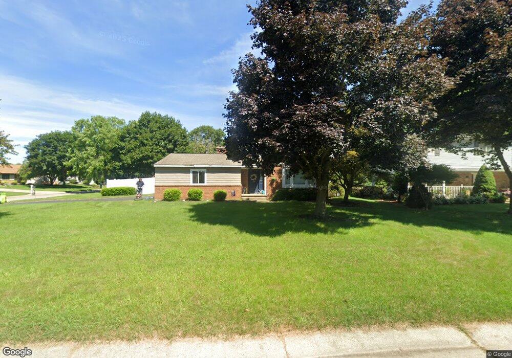
1980 Worcester Dr Unit Bldg-Unit Oxford, MI 48371
Estimated Value: $326,783 - $392,000
3
Beds
2
Baths
1,693
Sq Ft
$213/Sq Ft
Est. Value
About This Home
This home is located at 1980 Worcester Dr Unit Bldg-Unit, Oxford, MI 48371 and is currently estimated at $361,196, approximately $213 per square foot. 1980 Worcester Dr Unit Bldg-Unit is a home located in Oakland County with nearby schools including Clear Lake Elementary School, Oxford Middle School, and Oxford High School.
Ownership History
Date
Name
Owned For
Owner Type
Purchase Details
Closed on
Jan 12, 2018
Sold by
Osborn Scott D
Bought by
Hicks Robert H and Kitchen Allison M
Current Estimated Value
Home Financials for this Owner
Home Financials are based on the most recent Mortgage that was taken out on this home.
Original Mortgage
$188,000
Outstanding Balance
$158,650
Interest Rate
3.94%
Mortgage Type
New Conventional
Estimated Equity
$202,546
Purchase Details
Closed on
Feb 12, 2009
Sold by
Lindsay Deborah D and Lindsay Debra D
Bought by
Federal Home Loan Mortgage Corp
Purchase Details
Closed on
Nov 4, 2008
Sold by
Lindsay Deborah D
Bought by
Federal Home Loan Mortgage Corp
Purchase Details
Closed on
Aug 26, 2005
Sold by
Lindsay Ross E and Lindsay Deborah D
Bought by
Lindsay Debra D
Create a Home Valuation Report for This Property
The Home Valuation Report is an in-depth analysis detailing your home's value as well as a comparison with similar homes in the area
Home Values in the Area
Average Home Value in this Area
Purchase History
| Date | Buyer | Sale Price | Title Company |
|---|---|---|---|
| Hicks Robert H | $235,000 | Partners Title Agency Llc | |
| Federal Home Loan Mortgage Corp | $2,200 | None Available | |
| Federal Home Loan Mortgage Corp | $180,479 | None Available | |
| Lindsay Debra D | -- | -- |
Source: Public Records
Mortgage History
| Date | Status | Borrower | Loan Amount |
|---|---|---|---|
| Open | Hicks Robert H | $188,000 |
Source: Public Records
Tax History Compared to Growth
Tax History
| Year | Tax Paid | Tax Assessment Tax Assessment Total Assessment is a certain percentage of the fair market value that is determined by local assessors to be the total taxable value of land and additions on the property. | Land | Improvement |
|---|---|---|---|---|
| 2024 | $2,545 | $131,800 | $0 | $0 |
| 2023 | $2,427 | $120,730 | $0 | $0 |
| 2022 | $3,757 | $112,820 | $0 | $0 |
| 2021 | $3,592 | $106,610 | $0 | $0 |
| 2020 | $2,293 | $99,840 | $0 | $0 |
| 2019 | $3,353 | $96,180 | $0 | $0 |
| 2018 | $2,014 | $89,020 | $0 | $0 |
| 2017 | $2,060 | $86,720 | $0 | $0 |
| 2016 | $1,942 | $82,130 | $0 | $0 |
| 2015 | -- | $77,090 | $0 | $0 |
| 2014 | -- | $71,380 | $0 | $0 |
| 2011 | -- | $58,210 | $0 | $0 |
Source: Public Records
Map
Nearby Homes
- 2060 W Drahner Rd
- 967 Keith St
- 1612 Royal Birkdale Dr Unit 77
- 1628 Royal Birkdale Dr Unit 76
- 774 Keith St
- 1667 Royal Birkdale Dr
- 1910 Royal Birkdale Dr
- 1 Pinery Ct
- 1611 Harwood Dr
- 1320 W Drahner Rd
- 815 Pinery Blvd
- 1315 Beemer Ct
- 767 Pinery Blvd
- 1858 Sandy Shores Dr
- 302 Tanview Dr
- 1126 Watersmeet Dr
- 1904 Sandy Shores Dr
- 1974 Sandy Shores Dr
- 2480 Indianwood Rd
- 101 N Newman Rd
- 1980 Worcester Dr
- 1972 Worcester Dr
- 1255 Pembroke Ln
- 1274 Pembroke Ln
- 1251 Queens Dr
- 1262 Pembroke Ln
- 1977 Worcester Dr
- 1962 Worcester Dr
- 1286 Pembroke Ln
- 1250 Pembroke Ln
- 1239 Queens Dr
- 1965 Worcester Dr
- 1950 Worcester Dr
- 1298 Pembroke Ln
- 1929 Worcester Dr
- 1291 Pembroke Ln
- 1256 Queens Dr
- 1233 Queens Dr
- 1310 Pembroke Ln
- 1276 Queens Dr