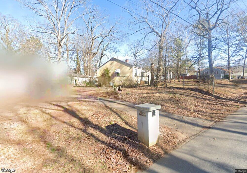
1981 Connally Dr Atlanta, GA 30344
DeLowe-Connally NeighborhoodEstimated Value: $172,000 - $229,000
3
Beds
1
Bath
1,077
Sq Ft
$193/Sq Ft
Est. Value
About This Home
This home is located at 1981 Connally Dr, Atlanta, GA 30344 and is currently estimated at $207,660, approximately $192 per square foot. 1981 Connally Dr is a home located in Fulton County with nearby schools including Hamilton E. Holmes Elementary School, Paul D. West Middle School, and Tri-Cities High School.
Ownership History
Date
Name
Owned For
Owner Type
Purchase Details
Closed on
Aug 8, 1997
Sold by
Anderson Valdez M
Bought by
Gaines Barbara M
Current Estimated Value
Home Financials for this Owner
Home Financials are based on the most recent Mortgage that was taken out on this home.
Original Mortgage
$57,828
Outstanding Balance
$8,752
Interest Rate
7.65%
Mortgage Type
FHA
Estimated Equity
$198,908
Create a Home Valuation Report for This Property
The Home Valuation Report is an in-depth analysis detailing your home's value as well as a comparison with similar homes in the area
Home Values in the Area
Average Home Value in this Area
Purchase History
| Date | Buyer | Sale Price | Title Company |
|---|---|---|---|
| Gaines Barbara M | $58,000 | -- |
Source: Public Records
Mortgage History
| Date | Status | Borrower | Loan Amount |
|---|---|---|---|
| Open | Gaines Barbara M | $57,828 |
Source: Public Records
Tax History Compared to Growth
Tax History
| Year | Tax Paid | Tax Assessment Tax Assessment Total Assessment is a certain percentage of the fair market value that is determined by local assessors to be the total taxable value of land and additions on the property. | Land | Improvement |
|---|---|---|---|---|
| 2025 | $110 | $85,320 | $26,840 | $58,480 |
| 2023 | $2,557 | $90,600 | $46,200 | $44,400 |
| 2022 | $2,330 | $82,560 | $34,360 | $48,200 |
| 2021 | $110 | $44,480 | $10,120 | $34,360 |
| 2020 | $110 | $38,760 | $8,640 | $30,120 |
| 2019 | $110 | $34,000 | $8,480 | $25,520 |
| 2018 | $0 | $24,560 | $5,240 | $19,320 |
| 2017 | $0 | $11,240 | $4,080 | $7,160 |
| 2016 | $110 | $11,240 | $4,080 | $7,160 |
| 2015 | $110 | $11,240 | $4,080 | $7,160 |
| 2014 | -- | $9,840 | $4,120 | $5,720 |
Source: Public Records
Map
Nearby Homes
- 2213 Westover Dr
- 2190 Westover Dr
- 2259 Fernwood Dr
- 2019 Connally Dr
- 2146 Pinehurst Dr
- 2162 Westover Dr
- 1891 Connally Dr
- 2120 Penrose Dr
- 1876 Connally Dr
- 2357 Lumpkin St
- 2169 Delowe Dr
- 2069 Woodberry Ave
- 2177 Connally Dr
- 1849 Broad Ave
- 0 Lumpkin St Unit 7629466
- 0 Lumpkin St Unit 10581058
- 2364 Farley St
- 1918 Spring Ave
- 2370 Farley St
- 1920 W Forrest Ave
- 1989 Connally Dr
- 2233 Pinehurst Dr
- 1997 Connally Dr
- 2244 Pinehurst Dr
- 2236 Pinehurst Dr
- 2225 Pinehurst Dr
- 1963 Connally Dr
- 2230 Pinehurst Dr
- 2230 Pinehurst Dr
- 2230 Pinehurst Dr Unit 2230
- 2003 Connally Dr
- 2219 Pinehurst Dr
- 2224 Penrose Dr
- 2224 Pinehurst Dr
- 2224 Pinehurst Dr Unit Acres
- 2218 Penrose Dr
- 2218 Pinehurst Dr
- 2211 Pinehurst Dr
- 1947 Connally Dr
- 2243 Westover Dr