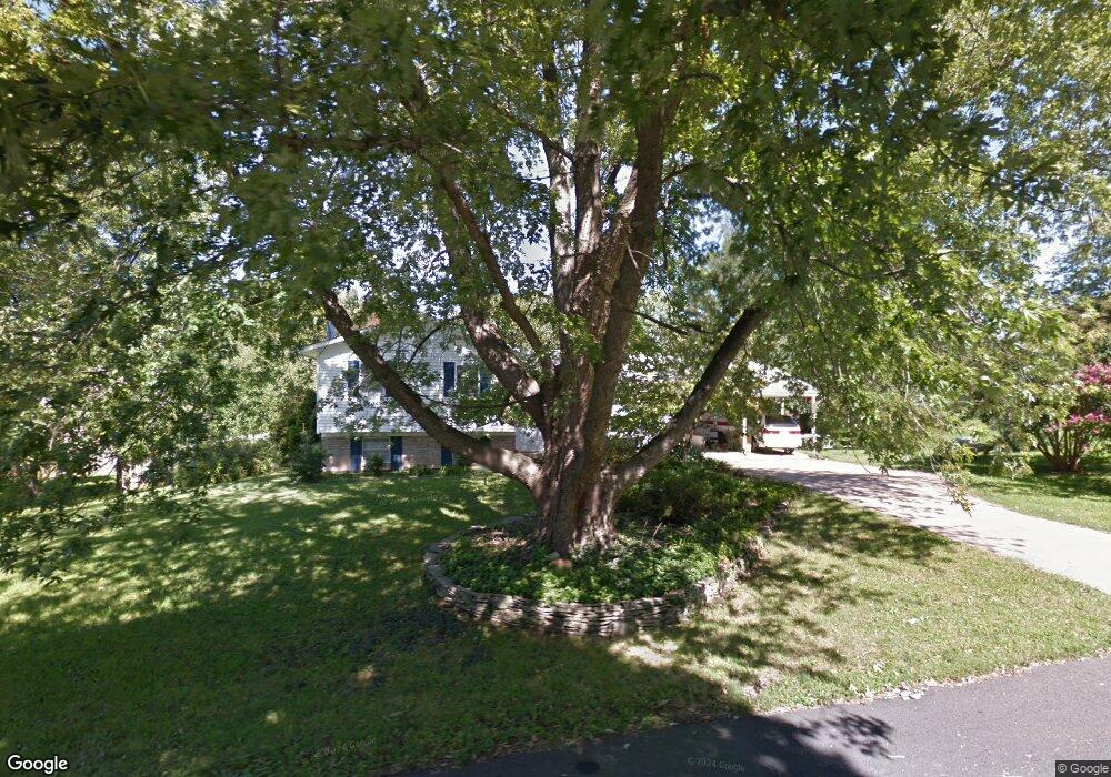
1981 Glencrest Ln Annapolis, MD 21401
Parole NeighborhoodEstimated Value: $500,374 - $656,000
Studio
2
Baths
2,240
Sq Ft
$263/Sq Ft
Est. Value
About This Home
This home is located at 1981 Glencrest Ln, Annapolis, MD 21401 and is currently estimated at $589,094, approximately $262 per square foot. 1981 Glencrest Ln is a home located in Anne Arundel County with nearby schools including Rolling Knolls Elementary School, Wiley H. Bates Middle School, and Annapolis High School.
Ownership History
Date
Name
Owned For
Owner Type
Purchase Details
Closed on
Nov 28, 1990
Sold by
Dedes Chris
Bought by
Mincher Roderick L and Mincher Jean M
Current Estimated Value
Home Financials for this Owner
Home Financials are based on the most recent Mortgage that was taken out on this home.
Original Mortgage
$124,800
Interest Rate
9.93%
Create a Home Valuation Report for This Property
The Home Valuation Report is an in-depth analysis detailing your home's value as well as a comparison with similar homes in the area
Home Values in the Area
Average Home Value in this Area
Purchase History
| Date | Buyer | Sale Price | Title Company |
|---|---|---|---|
| Mincher Roderick L | $156,000 | -- |
Source: Public Records
Mortgage History
| Date | Status | Borrower | Loan Amount |
|---|---|---|---|
| Closed | Mincher Roderick L | $124,800 |
Source: Public Records
Tax History
| Year | Tax Paid | Tax Assessment Tax Assessment Total Assessment is a certain percentage of the fair market value that is determined by local assessors to be the total taxable value of land and additions on the property. | Land | Improvement |
|---|---|---|---|---|
| 2025 | $3,423 | $440,367 | -- | -- |
| 2024 | $3,423 | $418,233 | $0 | $0 |
| 2023 | $3,314 | $396,100 | $225,800 | $170,300 |
| 2022 | $3,107 | $393,000 | $0 | $0 |
| 2021 | $501 | $389,900 | $0 | $0 |
| 2020 | $2,973 | $386,800 | $225,800 | $161,000 |
| 2019 | $2,917 | $373,033 | $0 | $0 |
| 2018 | $501 | $359,267 | $0 | $0 |
| 2017 | $2,739 | $345,500 | $0 | $0 |
| 2016 | $501 | $337,367 | $0 | $0 |
| 2015 | $501 | $329,233 | $0 | $0 |
| 2014 | -- | $321,100 | $0 | $0 |
Source: Public Records
Map
Nearby Homes
- 524 Ridge Rd
- 1002 Covington Way
- 553 Choptank Cove Ct
- 1930 Severn Grove Rd
- 1976 Scotts Crossing Way Unit 1
- 810 Midship Ct
- 34 Harbour Heights Dr
- 12 Harbour Heights Dr
- 1909 Eleanor Ct
- 807 Eastern Point Rd
- 208 Sellew Rd
- 633 Admiral Dr Unit 308
- 629 Admiral Dr Unit U206
- 109 Sellew Rd
- 108 Sellew Rd
- 1915 Towne Centre Blvd Unit 1001
- 1915 Towne Centre Blvd Unit 301
- 1915 Towne Centre Blvd Unit 606
- 1915 Towne Centre Blvd Unit 807
- 1915 Towne Centre Blvd Unit 309
- 1979 Glencrest Ln
- 1983 Glencrest Ln
- 1982 Valley Rd
- 1984 Glencrest Ln
- 1984 Valley Rd
- 1980 Valley Rd
- 1982 Glencrest Ln
- 1977 Glencrest Ln
- 1985 Glencrest Ln
- 1980 Glencrest Ln
- 1986 Valley Rd
- 1986 Glencrest Ln
- 1978 Valley Rd
- 1978 Glencrest Ln
- 1987 Glencrest Ln
- 1975 Glencrest Ln
- 1988 Valley Rd
- 582 Wayward Ct
- 1988 Glencrest Ln
- 1976 Valley Rd
Your Personal Tour Guide
Ask me questions while you tour the home.