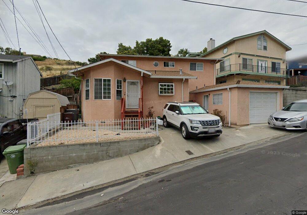
1981 Howe Dr San Leandro, CA 94578
Bay-O-Vista NeighborhoodEstimated Value: $738,185 - $781,000
3
Beds
2
Baths
1,366
Sq Ft
$557/Sq Ft
Est. Value
About This Home
This home is located at 1981 Howe Dr, San Leandro, CA 94578 and is currently estimated at $760,296, approximately $556 per square foot. 1981 Howe Dr is a home located in Alameda County with nearby schools including Jefferson Elementary School, Bancroft Middle School, and San Leandro High School.
Ownership History
Date
Name
Owned For
Owner Type
Purchase Details
Closed on
Feb 2, 2021
Sold by
Amarante Family Trust and Amarante Hortense M
Bought by
Amarante Pedro and Amarante Judith
Current Estimated Value
Purchase Details
Closed on
Jun 11, 2009
Sold by
Amarante T Fernando and Amarante Hortense M
Bought by
Amarante T Fernando and Amarante Hortense M
Create a Home Valuation Report for This Property
The Home Valuation Report is an in-depth analysis detailing your home's value as well as a comparison with similar homes in the area
Home Values in the Area
Average Home Value in this Area
Purchase History
| Date | Buyer | Sale Price | Title Company |
|---|---|---|---|
| Amarante Pedro | -- | None Listed On Document | |
| Amarante T Fernando | -- | None Available |
Source: Public Records
Tax History
| Year | Tax Paid | Tax Assessment Tax Assessment Total Assessment is a certain percentage of the fair market value that is determined by local assessors to be the total taxable value of land and additions on the property. | Land | Improvement |
|---|---|---|---|---|
| 2025 | $2,551 | $152,770 | $19,121 | $133,649 |
| 2024 | $2,551 | $149,775 | $18,746 | $131,029 |
| 2023 | $2,572 | $146,839 | $18,379 | $128,460 |
| 2022 | $2,483 | $143,959 | $18,018 | $125,941 |
| 2021 | $2,401 | $141,137 | $17,665 | $123,472 |
| 2020 | $2,329 | $139,690 | $17,484 | $122,206 |
| 2019 | $2,254 | $136,952 | $17,141 | $119,811 |
| 2018 | $2,159 | $134,267 | $16,805 | $117,462 |
| 2017 | $2,139 | $131,635 | $16,476 | $115,159 |
| 2016 | $2,024 | $129,053 | $16,152 | $112,901 |
| 2015 | $1,982 | $127,116 | $15,910 | $111,206 |
| 2014 | $1,965 | $124,625 | $15,598 | $109,027 |
Source: Public Records
Map
Nearby Homes
- 14644 Saturn Dr
- 14670 Midland Rd
- 0 Saturn Dr
- 1269 Gabriel Ct
- 2245 Sol St
- 14831 Bancroft Ave Unit Space 27
- 0 Montrose Dr
- 14240 Rose Dr
- 890 Linwood Way
- 15675 Liberty St
- 15065 Hesperian Blvd Unit 22
- 1592 Oriole Ave
- 1316 135th Ave
- 15933 Cambrian Dr
- 1591 159th Ave
- 1468 Grand Ave Unit 5
- 1468 Grand Ave Unit 21
- 1521 159th Ave
- 2399 E 14th St Unit 66
- 2399 E 14th St Unit 24
Your Personal Tour Guide
Ask me questions while you tour the home.