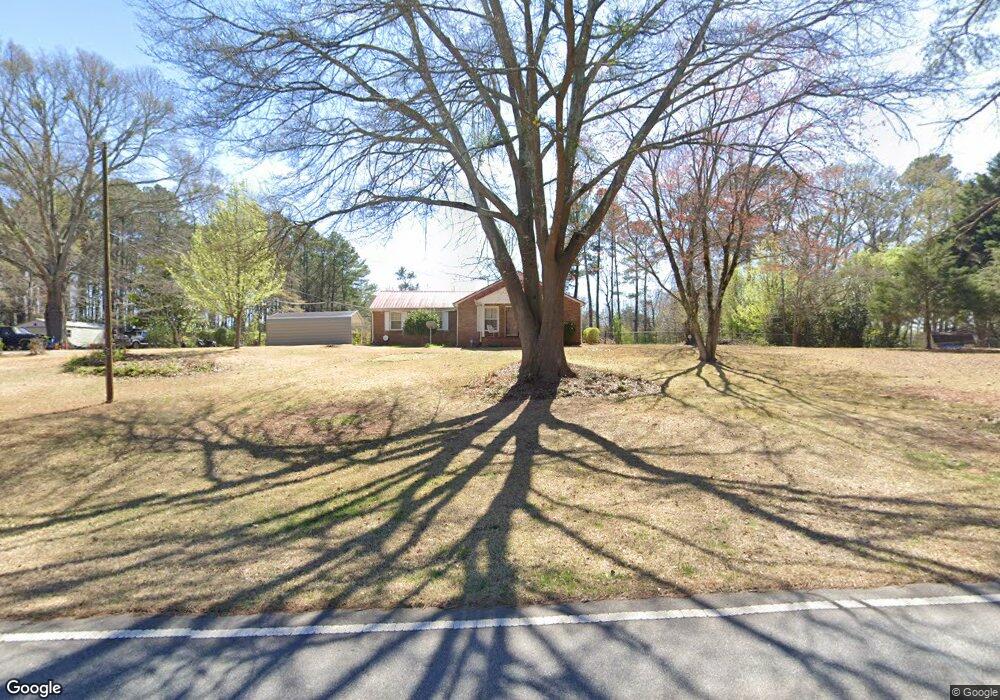
1981 Mcduffie Rd Austell, GA 30106
Estimated Value: $306,000 - $356,000
2
Beds
2
Baths
2,311
Sq Ft
$143/Sq Ft
Est. Value
About This Home
This home is located at 1981 Mcduffie Rd, Austell, GA 30106 and is currently estimated at $330,464, approximately $142 per square foot. 1981 Mcduffie Rd is a home located in Cobb County with nearby schools including Deerwood Elementary School, Clarkdale Elementary School, and Garrett Middle School.
Ownership History
Date
Name
Owned For
Owner Type
Purchase Details
Closed on
Jul 12, 2010
Sold by
Lankford Janie R
Bought by
Shiflet Janie R
Current Estimated Value
Purchase Details
Closed on
May 4, 2010
Sold by
Lankford Phillip L
Bought by
Lankford Janie R
Create a Home Valuation Report for This Property
The Home Valuation Report is an in-depth analysis detailing your home's value as well as a comparison with similar homes in the area
Home Values in the Area
Average Home Value in this Area
Purchase History
| Date | Buyer | Sale Price | Title Company |
|---|---|---|---|
| Shiflet Janie R | -- | -- | |
| Lankford Janie R | -- | -- |
Source: Public Records
Tax History Compared to Growth
Tax History
| Year | Tax Paid | Tax Assessment Tax Assessment Total Assessment is a certain percentage of the fair market value that is determined by local assessors to be the total taxable value of land and additions on the property. | Land | Improvement |
|---|---|---|---|---|
| 2025 | $655 | $143,932 | $31,200 | $112,732 |
| 2024 | $658 | $143,932 | $31,200 | $112,732 |
| 2023 | $279 | $86,088 | $18,240 | $67,848 |
| 2022 | $485 | $86,088 | $18,240 | $67,848 |
| 2021 | $485 | $86,088 | $18,240 | $67,848 |
| 2020 | $437 | $70,048 | $16,800 | $53,248 |
| 2019 | $437 | $70,048 | $16,800 | $53,248 |
| 2018 | $414 | $62,208 | $14,000 | $48,208 |
| 2017 | $374 | $62,208 | $14,000 | $48,208 |
| 2016 | $378 | $62,208 | $14,000 | $48,208 |
| 2015 | $173 | $23,192 | $12,800 | $10,392 |
| 2014 | $175 | $23,192 | $0 | $0 |
Source: Public Records
Map
Nearby Homes
- 2005 Mcduffie Rd
- 4636 Rodney Place
- 1968 Mcduffie Rd
- 1976 Mcduffie Rd
- 4639 Rodney Place Unit 7
- 1960 Mcduffie Rd
- 2015 Mcduffie Rd
- 1949 Mcduffie Rd
- 1992 Mcduffie Rd
- 4629 Rodney Place
- 4629 Rodney Place Unit 8
- 2023 Mcduffie Rd
- 2023 Mcduffie Rd Unit 27
- 4622 Rodney Place Unit 5
- 4622 Rodney Place
- 1939 Mcduffie Rd
- 1954 Mcduffie Rd
- 2016 Mcduffie Rd
- 1944 Mcduffie Rd