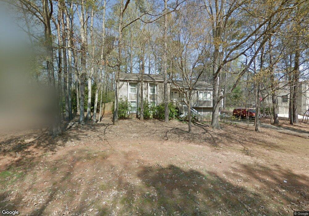
1981 O Shea Ln Marietta, GA 30062
East Cobb NeighborhoodEstimated Value: $426,000 - $514,000
3
Beds
2
Baths
1,548
Sq Ft
$297/Sq Ft
Est. Value
About This Home
This home is located at 1981 O Shea Ln, Marietta, GA 30062 and is currently estimated at $460,217, approximately $297 per square foot. 1981 O Shea Ln is a home located in Cobb County with nearby schools including Murdock Elementary School, Dodgen Middle School, and Pope High School.
Ownership History
Date
Name
Owned For
Owner Type
Purchase Details
Closed on
Jul 31, 1997
Sold by
Lewter Ronald E and Lewter Hazel K
Bought by
Kroland Paul R
Current Estimated Value
Home Financials for this Owner
Home Financials are based on the most recent Mortgage that was taken out on this home.
Original Mortgage
$106,400
Outstanding Balance
$15,369
Interest Rate
7.59%
Mortgage Type
New Conventional
Estimated Equity
$444,848
Create a Home Valuation Report for This Property
The Home Valuation Report is an in-depth analysis detailing your home's value as well as a comparison with similar homes in the area
Home Values in the Area
Average Home Value in this Area
Purchase History
| Date | Buyer | Sale Price | Title Company |
|---|---|---|---|
| Kroland Paul R | $134,000 | -- |
Source: Public Records
Mortgage History
| Date | Status | Borrower | Loan Amount |
|---|---|---|---|
| Open | Kroland Paul R | $106,400 |
Source: Public Records
Tax History Compared to Growth
Tax History
| Year | Tax Paid | Tax Assessment Tax Assessment Total Assessment is a certain percentage of the fair market value that is determined by local assessors to be the total taxable value of land and additions on the property. | Land | Improvement |
|---|---|---|---|---|
| 2025 | $3,896 | $170,264 | $44,000 | $126,264 |
| 2024 | $3,900 | $170,264 | $44,000 | $126,264 |
| 2023 | $2,831 | $146,004 | $34,000 | $112,004 |
| 2022 | $3,356 | $143,964 | $34,000 | $109,964 |
| 2021 | $2,716 | $114,704 | $26,000 | $88,704 |
| 2020 | $2,716 | $114,704 | $26,000 | $88,704 |
| 2019 | $2,716 | $114,704 | $26,000 | $88,704 |
| 2018 | $2,316 | $96,428 | $20,000 | $76,428 |
| 2017 | $2,108 | $90,136 | $14,000 | $76,136 |
| 2016 | $2,112 | $90,136 | $14,000 | $76,136 |
| 2015 | $1,705 | $69,940 | $14,000 | $55,940 |
| 2014 | $1,718 | $69,940 | $0 | $0 |
Source: Public Records
Map
Nearby Homes
- 3402 Devoe Ct
- 3292 Holly Mill Ct
- 2041 Kramer Way
- 3218 Holly Mill Run
- 3246 Able Ct
- 3025 Bunker Hill Cir
- 3495 Mill Bridge Dr Unit 2
- 3650 Oak Ln
- 2268 Woodsfield Ln NE
- 3152 Normandy Cir NE
- 1942 Hunters Bend Ct
- 3825 Emerson St
- 3741 Bays Ferry Way
- 2510 Camelot Cir
- 1771 Canton Hills Cir
- 1680 Bill Murdock Rd
- 2410 Kingsley Dr NE
- 1991 O Shea Ln
- 1971 O Shea Ln
- 2001 O Shea Ln
- 3148 Holly Mill Run
- 3152 Holly Mill Run Unit 1
- 1961 O Shea Ln
- 1980 O Shea Ln Unit 1980
- 1980 O Shea Ln
- 1970 O Shea Ln
- 1990 O Shea Ln
- 3200 Holly Mill Run
- 3144 Holly Mill Run
- 3156 Holly Mill Run Unit 1
- 1960 O Shea Ln
- 3182 Holly Mill Run
- 3182 Holly Mill Run
- O Shea Ln
- 3140 Holly Mill Run
- 3160 Holly Mill Run