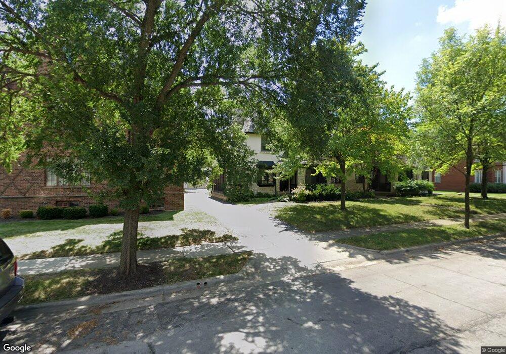
1981 Suffolk Rd Unit A1981 Columbus, OH 43221
Estimated Value: $359,148 - $419,000
2
Beds
2
Baths
1,298
Sq Ft
$300/Sq Ft
Est. Value
About This Home
This home is located at 1981 Suffolk Rd Unit A1981, Columbus, OH 43221 and is currently estimated at $388,787, approximately $299 per square foot. 1981 Suffolk Rd Unit A1981 is a home located in Franklin County with nearby schools including Barrington Road Elementary School, Jones Middle School, and Upper Arlington High School.
Ownership History
Date
Name
Owned For
Owner Type
Purchase Details
Closed on
Oct 27, 2021
Sold by
Sasser Tobie Hayes
Bought by
Sasser Family Revocable Trust and Sasser
Current Estimated Value
Purchase Details
Closed on
Jun 30, 2004
Sold by
Beavers John A and Beavers Lisa M
Bought by
Sasser Tobie H
Purchase Details
Closed on
Apr 15, 2002
Sold by
Beavers Cheryl L
Bought by
Beavers John A
Purchase Details
Closed on
Feb 2, 1978
Bought by
Beavers John A
Create a Home Valuation Report for This Property
The Home Valuation Report is an in-depth analysis detailing your home's value as well as a comparison with similar homes in the area
Home Values in the Area
Average Home Value in this Area
Purchase History
| Date | Buyer | Sale Price | Title Company |
|---|---|---|---|
| Sasser Family Revocable Trust | -- | None Listed On Document | |
| Sasser Tobie H | $182,000 | Title First | |
| Beavers John A | -- | -- | |
| Beavers John A | $47,900 | -- |
Source: Public Records
Tax History
| Year | Tax Paid | Tax Assessment Tax Assessment Total Assessment is a certain percentage of the fair market value that is determined by local assessors to be the total taxable value of land and additions on the property. | Land | Improvement |
|---|---|---|---|---|
| 2025 | $6,700 | $113,540 | $28,000 | $85,540 |
| 2024 | $6,700 | $113,540 | $28,000 | $85,540 |
| 2023 | $6,492 | $113,540 | $28,000 | $85,540 |
| 2022 | $6,168 | $88,270 | $27,580 | $60,690 |
| 2021 | $5,044 | $81,550 | $27,580 | $53,970 |
| 2020 | $5,000 | $81,550 | $27,580 | $53,970 |
| 2019 | $4,920 | $70,950 | $23,980 | $46,970 |
| 2018 | $4,690 | $70,950 | $23,980 | $46,970 |
| 2017 | $4,882 | $70,950 | $23,980 | $46,970 |
| 2016 | $4,518 | $65,460 | $17,330 | $48,130 |
| 2015 | $4,488 | $65,460 | $17,330 | $48,130 |
| 2014 | $4,329 | $65,460 | $17,330 | $48,130 |
| 2013 | $2,092 | $59,500 | $15,750 | $43,750 |
Source: Public Records
Map
Nearby Homes
- 2167 Fairfax Rd
- 1869 Tewksbury Rd
- 2367 Southway Dr
- 1960 Hillside Dr
- 1621 Waltham Rd Unit B
- 2583 Wexford Rd
- 2000 Northwest Blvd Unit D
- 1565 Berkshire Rd
- 2031 Concord Rd
- 1810 Ashland Ave
- 2748 Tremont Rd
- 2015 W 5th Ave Unit 211
- 2015 W 5th Ave Unit 102
- 2015 W 5th Ave Unit 108
- 1631 Roxbury Rd Unit A1
- 1631 Roxbury Rd Unit F3
- 1631 Roxbury Rd Unit B6
- 2329 Keep Place Unit 2329
- 1489 Westminster Dr
- 1785 Northwest Ct Unit D
- 1983 Suffolk Rd
- 1985 Suffolk Rd Unit A1985
- 1987 Suffolk Rd Unit 1987
- 1991 Suffolk Rd Unit 3
- 1991 Suffolk Rd Unit 4
- 1991 Suffolk Rd Unit 2
- 1991 Suffolk Rd Unit 1
- 1991 Suffolk Rd
- 1962 Suffolk Rd Unit 1962
- 1956 Guilford Rd Unit 1956
- 1960 Suffolk Rd
- 1954 Guilford Rd
- 1994 Suffolk Rd
- 1994 Suffolk Rd
- 1994 Suffolk Rd Unit 2
- 1994 Suffolk Rd Unit 3
- 1946 Guilford Rd Unit 1946
- 1948 Guilford Rd Unit 1948
- 2229 Coventry Rd Unit 3
- 2229 Coventry Rd Unit 6
Your Personal Tour Guide
Ask me questions while you tour the home.