Estimated Value: $342,000 - $439,352
3
Beds
2
Baths
1,014
Sq Ft
$385/Sq Ft
Est. Value
About This Home
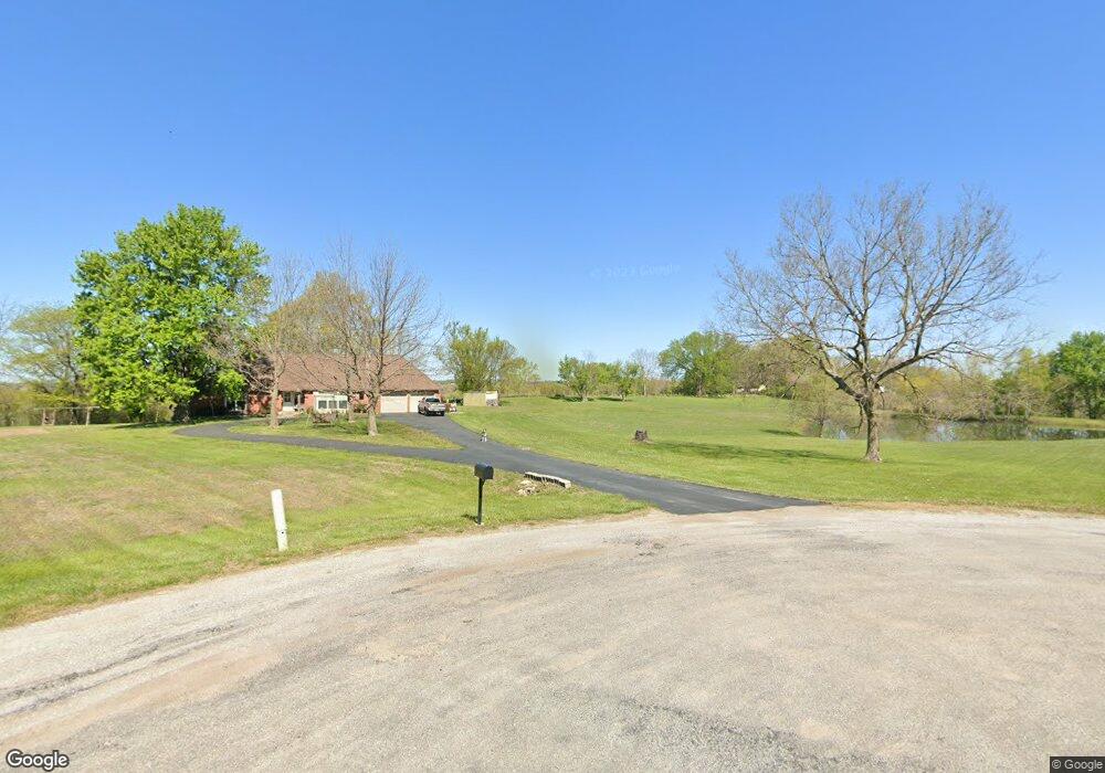
This home is located at 19819 NE 172nd St, Holt, MO 64048 and is currently estimated at $390,451, approximately $385 per square foot. 19819 NE 172nd St is a home located in Clay County with nearby schools including Kearney Junior High School and Kearney High School.
Ownership History
Date
Name
Owned For
Owner Type
Purchase Details
Closed on
Jul 7, 2021
Sold by
Bodnar John J and Bodnar Karen E
Bought by
Holt Cody L and Holt Shaya B
Current Estimated Value
Home Financials for this Owner
Home Financials are based on the most recent Mortgage that was taken out on this home.
Original Mortgage
$373,117
Outstanding Balance
$335,596
Interest Rate
2.9%
Mortgage Type
FHA
Estimated Equity
$54,855
Purchase Details
Closed on
Nov 2, 2006
Sold by
Laswell Larry R and Crawford Karen R
Bought by
Bashford Damon Darrell and Bashford Isla J
Create a Home Valuation Report for This Property
The Home Valuation Report is an in-depth analysis detailing your home's value as well as a comparison with similar homes in the area
Home Values in the Area
Average Home Value in this Area
Purchase History
| Date | Buyer | Sale Price | Title Company |
|---|---|---|---|
| Holt Cody L | -- | None Available | |
| Bashford Damon Darrell | -- | Thomson Title Corp |
Source: Public Records
Mortgage History
| Date | Status | Borrower | Loan Amount |
|---|---|---|---|
| Open | Holt Cody L | $373,117 |
Source: Public Records
Tax History
| Year | Tax Paid | Tax Assessment Tax Assessment Total Assessment is a certain percentage of the fair market value that is determined by local assessors to be the total taxable value of land and additions on the property. | Land | Improvement |
|---|---|---|---|---|
| 2025 | $2,111 | $36,840 | -- | -- |
| 2024 | $2,111 | $33,370 | -- | -- |
| 2023 | $2,103 | $33,370 | $0 | $0 |
| 2022 | $1,882 | $28,920 | $0 | $0 |
| 2021 | $1,842 | $30,837 | $11,761 | $19,076 |
| 2020 | $1,861 | $26,550 | $0 | $0 |
| 2019 | $1,851 | $26,550 | $0 | $0 |
| 2018 | $1,800 | $24,950 | $0 | $0 |
| 2017 | $1,778 | $24,950 | $6,810 | $18,140 |
| 2016 | $1,778 | $24,950 | $6,810 | $18,140 |
| 2015 | $1,778 | $24,950 | $6,810 | $18,140 |
| 2014 | $1,687 | $23,550 | $6,720 | $16,830 |
Source: Public Records
Map
Nearby Homes
- 17504 State Route 33
- 16816 Landmark Loop
- 102 W Lawrence St
- 201 S Marimack Dr
- 22223 NE 159th St
- 9900 NE 172nd St
- 0 W Washington St
- Parcel B W Washington St
- Parcel A W Washington St
- 919 E 8th Cir
- 22612 N Prestige Dr
- 819 Susan St
- 901 Pine Crest Ave
- 905 Susan St
- Parcel C State Route 92
- 0 Lot 5 Arnold Park Lot N A Unit HMS2572371
- 0 Lot 3 Arnold Park Lot N A Unit HMS2572330
- 1200 W 10th Ave
- 1202 Noah Ln
- 200 E 10th St
- 20004 NE 170th St
- 19607 NE 172nd St
- 20201 NE 170th St
- 16820 Cole Rd
- 20018 NE 170th St
- 19825 NE 172nd St
- 19816 NE 172nd St
- 19822 NE 172nd St
- 20204 NE 170th St
- 19405 NE 172nd St
- 20004 Cole Rd
- 19615 NE 172nd St
- 19815 NE 172nd St
- 20022 Cole Rd
- 16824 Cole Rd
- 19223 NE 172nd St
- 20005 Cole Rd
- 16908 Cole Rd
- 20216 NE 170th St
- 20204 Cole Rd
Your Personal Tour Guide
Ask me questions while you tour the home.