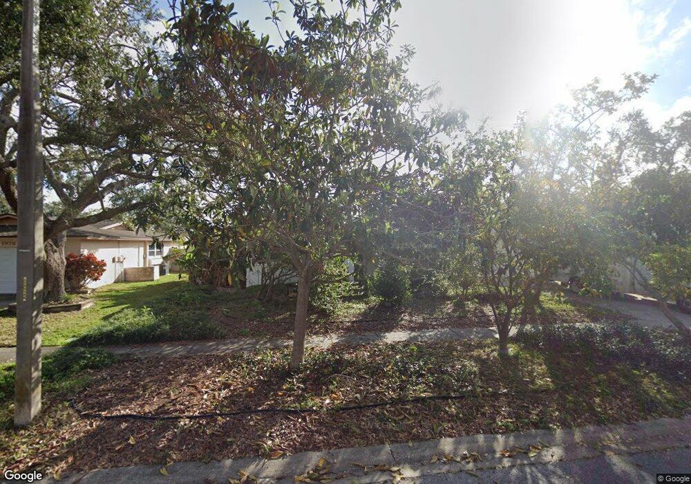
1982 Arvis Cir W Clearwater, FL 33764
North Largo NeighborhoodEstimated Value: $351,400 - $649,000
Studio
2
Baths
1,770
Sq Ft
$284/Sq Ft
Est. Value
About This Home
This home is located at 1982 Arvis Cir W, Clearwater, FL 33764 and is currently estimated at $502,100, approximately $283 per square foot. 1982 Arvis Cir W is a home located in Pinellas County with nearby schools including Largo High School, Belcher Elementary School, and Oak Grove Middle School.
Ownership History
Date
Name
Owned For
Owner Type
Purchase Details
Closed on
Oct 24, 2009
Sold by
Podracky Peter J and Podracky Audrey H
Bought by
Podracky Peter J and Podracky Audrey H
Current Estimated Value
Purchase Details
Closed on
Jul 5, 1994
Sold by
Podracky Peter J and Baughman Ann L
Bought by
Podracky Peter J
Purchase Details
Closed on
Aug 25, 1993
Sold by
Cable Emory C and Cable Marie
Bought by
Podracky Peter J
Home Financials for this Owner
Home Financials are based on the most recent Mortgage that was taken out on this home.
Original Mortgage
$86,400
Interest Rate
7.24%
Create a Home Valuation Report for This Property
The Home Valuation Report is an in-depth analysis detailing your home's value as well as a comparison with similar homes in the area
Home Values in the Area
Average Home Value in this Area
Purchase History
| Date | Buyer | Sale Price | Title Company |
|---|---|---|---|
| Podracky Peter J | $25,000 | None Available | |
| Podracky Peter J | $43,200 | -- | |
| Podracky Peter J | $108,000 | -- |
Source: Public Records
Mortgage History
| Date | Status | Borrower | Loan Amount |
|---|---|---|---|
| Previous Owner | Podracky Peter J | $86,400 |
Source: Public Records
Tax History
| Year | Tax Paid | Tax Assessment Tax Assessment Total Assessment is a certain percentage of the fair market value that is determined by local assessors to be the total taxable value of land and additions on the property. | Land | Improvement |
|---|---|---|---|---|
| 2025 | $2,230 | $110,777 | -- | -- |
| 2024 | $2,181 | $162,192 | -- | -- |
| 2023 | $2,181 | $157,468 | $0 | $0 |
| 2022 | $2,107 | $152,882 | $0 | $0 |
| 2021 | $2,121 | $148,429 | $0 | $0 |
| 2020 | $2,113 | $146,380 | $0 | $0 |
| 2019 | $2,066 | $143,089 | $0 | $0 |
| 2018 | $2,040 | $140,421 | $0 | $0 |
| 2017 | $2,014 | $137,533 | $0 | $0 |
| 2016 | $1,956 | $134,704 | $0 | $0 |
| 2015 | $1,986 | $133,768 | $0 | $0 |
| 2014 | $1,958 | $132,706 | $0 | $0 |
Source: Public Records
Map
Nearby Homes
- 3075 Rosery Rd NE
- 1992 Arvis Cir E
- 1954 Arvis Cir W
- 1950 Arvis Cir W
- 1877 Del Robles Dr
- 1895 Del Robles Terrace
- 1849 Del Robles Dr
- 1862 Del Robles Dr
- 947 Sousa Dr
- 1110 Irene Ave
- 853 Seacrest Dr
- 1012 Irene Ave
- 925 Irene Ave
- 1761 Long Bow Ln
- 2156 Egret Dr
- 2161 Wateroak Dr N
- 1930 Cove Ln
- 1908 Sandpiper Dr
- 1056 Keene Rd
- 2453 Roberta St
- 3200 36-29-15-70236-100-0801 Dr
- 0 Undisclosed St Unit U7341542
- 0 Confiidential Rd E Unit U7343604
- 0 Sports Bar Blvd Unit U7347579
- 8195 Gasoline Rd
- 0 Confiidential Rd E Unit U7440895
- 1234 Confidential
- 253 E Bay Oaks Mhp
- 1986 Arvis Cir W
- 1973 Arvis Cir E
- 1967 Arvis Cir E
- 1979 Arvis Cir E
- 1990 Arvis Cir W
- 1974 Arvis Cir W
- 1981 Arvis Cir W
- 1969 Arvis Cir W
- 1961 Arvis Cir E
- 1987 Arvis Cir W
- 1963 Arvis Cir W
- 1994 Arvis Cir W
Your Personal Tour Guide
Ask me questions while you tour the home.