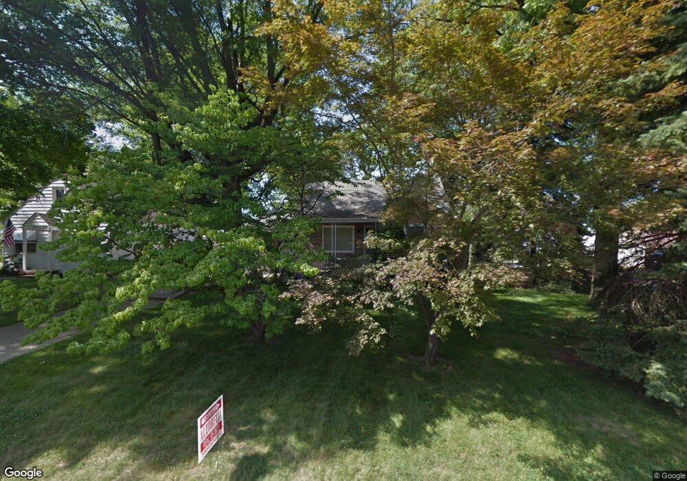
1982 Brownlee Ave Youngstown, OH 44514
Estimated Value: $108,000 - $139,000
3
Beds
2
Baths
1,498
Sq Ft
$85/Sq Ft
Est. Value
About This Home
This home is located at 1982 Brownlee Ave, Youngstown, OH 44514 and is currently estimated at $127,213, approximately $84 per square foot. 1982 Brownlee Ave is a home located in Mahoning County with nearby schools including Paul C. Bunn Elementary School, Chaney High School, and Summit Academy Secondary School - Youngstown.
Ownership History
Date
Name
Owned For
Owner Type
Purchase Details
Closed on
Sep 10, 2018
Sold by
Rich Sharon and Mylonas Elizabeth
Bought by
Damelioi Donald A and Damelioi Donald
Current Estimated Value
Home Financials for this Owner
Home Financials are based on the most recent Mortgage that was taken out on this home.
Original Mortgage
$46,148
Outstanding Balance
$28,499
Interest Rate
4.6%
Mortgage Type
FHA
Estimated Equity
$98,714
Purchase Details
Closed on
Nov 3, 1994
Bought by
Rich Sharon
Purchase Details
Closed on
Dec 19, 1966
Bought by
Schleiter Edith M
Create a Home Valuation Report for This Property
The Home Valuation Report is an in-depth analysis detailing your home's value as well as a comparison with similar homes in the area
Home Values in the Area
Average Home Value in this Area
Purchase History
| Date | Buyer | Sale Price | Title Company |
|---|---|---|---|
| Damelioi Donald A | $47,000 | None Available | |
| Rich Sharon | -- | -- | |
| Schleiter Edith M | -- | -- |
Source: Public Records
Mortgage History
| Date | Status | Borrower | Loan Amount |
|---|---|---|---|
| Open | Damelioi Donald A | $46,148 |
Source: Public Records
Tax History Compared to Growth
Tax History
| Year | Tax Paid | Tax Assessment Tax Assessment Total Assessment is a certain percentage of the fair market value that is determined by local assessors to be the total taxable value of land and additions on the property. | Land | Improvement |
|---|---|---|---|---|
| 2024 | $1,383 | $29,050 | $2,430 | $26,620 |
| 2023 | $1,373 | $29,050 | $2,430 | $26,620 |
| 2022 | $1,463 | $23,830 | $2,500 | $21,330 |
| 2021 | $1,463 | $23,830 | $2,500 | $21,330 |
| 2020 | $1,471 | $23,830 | $2,500 | $21,330 |
| 2019 | $1,463 | $21,270 | $2,230 | $19,040 |
| 2018 | $1,517 | $21,270 | $2,230 | $19,040 |
| 2017 | $1,514 | $21,270 | $2,230 | $19,040 |
| 2016 | $1,495 | $22,590 | $2,230 | $20,360 |
| 2015 | $1,464 | $22,590 | $2,230 | $20,360 |
| 2014 | $1,454 | $22,590 | $2,230 | $20,360 |
| 2013 | $1,435 | $22,590 | $2,230 | $20,360 |
Source: Public Records
Map
Nearby Homes
- 2001 Brownlee Ave
- 1928 Medford Ave
- 2002 Bancroft Ave
- 0 Weston Ave
- 1954 Everett Ave
- 2007 E Midlothian Blvd
- 1653 Brownlee Ave
- 1654 Wakefield Ave
- 4528 Sheridan Rd
- 0 Crescent Dr Unit 5124984
- 1633 Wakefield Ave
- 608 Maplewood Ave
- 1709 S Heights Ave
- 2016 Pointview Ave
- 1912 Thalia Ave
- 1560 Wakefield Ave
- 574 Spring St
- 2510 E Midlothian Blvd
- 1513 Wakefield Ave
- 1885 Country Club Ave
- 1974 Brownlee Ave
- 1968 Brownlee Ave
- 2002 Brownlee Ave
- 1977 Medford Ave
- 1963 Medford Ave
- 2008 Brownlee Ave
- 1969 Brownlee Ave
- 1966 Brownlee Ave
- 2001 Medford Ave
- 1959 Medford Ave
- 2020 Brownlee Ave
- 2007 Medford Ave
- 1963 Brownlee Ave
- 1950 Brownlee Ave
- 1955 Medford Ave
- 1959 Brownlee Ave
- 2013 Medford Ave
- 2007 Brownlee Ave
- 1949 Medford Ave
- 2024 Brownlee Ave