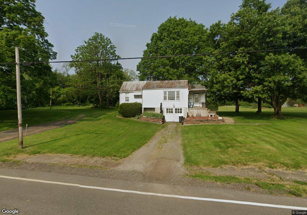
1982 Mansfield Washington Rd Mansfield, OH 44903
Estimated Value: $115,154 - $181,000
2
Beds
1
Bath
1,020
Sq Ft
$156/Sq Ft
Est. Value
About This Home
This home is located at 1982 Mansfield Washington Rd, Mansfield, OH 44903 and is currently estimated at $158,789, approximately $155 per square foot. 1982 Mansfield Washington Rd is a home located in Richland County.
Ownership History
Date
Name
Owned For
Owner Type
Purchase Details
Closed on
Nov 23, 2021
Sold by
Ratliff Linda J
Bought by
Stone Alan and Stone Gary
Current Estimated Value
Purchase Details
Closed on
Nov 11, 2021
Sold by
Stone Gary
Bought by
Stone Gary D and Stone Ronda L
Purchase Details
Closed on
May 14, 2020
Sold by
Estate Of Glen V Stone
Bought by
Ratiff Linda J
Create a Home Valuation Report for This Property
The Home Valuation Report is an in-depth analysis detailing your home's value as well as a comparison with similar homes in the area
Home Values in the Area
Average Home Value in this Area
Purchase History
| Date | Buyer | Sale Price | Title Company |
|---|---|---|---|
| Stone Alan | -- | None Available | |
| Stone Gary D | -- | None Available | |
| Ratiff Linda J | -- | None Available |
Source: Public Records
Tax History Compared to Growth
Tax History
| Year | Tax Paid | Tax Assessment Tax Assessment Total Assessment is a certain percentage of the fair market value that is determined by local assessors to be the total taxable value of land and additions on the property. | Land | Improvement |
|---|---|---|---|---|
| 2024 | $1,220 | $27,220 | $1,550 | $25,670 |
| 2023 | $1,220 | $27,220 | $1,550 | $25,670 |
| 2022 | $973 | $19,310 | $1,330 | $17,980 |
| 2021 | $963 | $19,310 | $1,330 | $17,980 |
| 2020 | $907 | $19,310 | $1,330 | $17,980 |
| 2019 | $846 | $16,190 | $1,120 | $15,070 |
| 2018 | $838 | $16,190 | $1,120 | $15,070 |
| 2017 | $768 | $16,190 | $1,120 | $15,070 |
| 2016 | $714 | $13,680 | $950 | $12,730 |
| 2015 | $714 | $13,680 | $950 | $12,730 |
| 2014 | $672 | $13,680 | $950 | $12,730 |
| 2012 | $651 | $14,110 | $980 | $13,130 |
Source: Public Records
Map
Nearby Homes
- 2061 Washington North Rd
- 1135 E Hanley Rd
- 0 Garver Washington Rd S
- 1679 Pulver Rd
- 1875 Mansfield Lucas Rd
- 0 Garver Rd Washington Rd S Unit 20253648
- 0 Woodville Rd Unit Lot 14952, 14953
- 0 Woodville Rd Unit Lot 14954, 14955
- 0 Woodville Rd Unit Lot 14956, 14957,
- 929 Antionette Dr
- 1680 S Main St
- 1599 S Main St
- 0 Garver Rd
- 0 Yoha Dr
- 129 Elderberry Dr
- 154 Elderberry Dr
- 148 Elderberry Dr
- 65 Logan Rd
- 0 State Route 39 & I-71 Southeast Quadrant
- 794 Mansfield Washington Rd
- 2006 Washington North Rd
- 2440 Mansfield Washington Rd
- 2005 Washington North Rd
- 1853 Mansfield Washington Rd
- 2420 Mansfield Washington Rd
- 1844 Washington North Rd
- 1844 Washington North Rd
- 1946 Mansfield Washington Rd
- 2406 Mansfield Washington Rd
- 2381 Mansfield Washington Rd
- 1840 Washington North Rd
- 2390 Mansfield Washington Rd
- 1836 Mansfield Washington Rd
- 1836 Washington-North Rd
- 1836 Washington North Rd
- 1111 Keefer Rd
- 2380 Mansfield Washington Rd
- 1833 Washington North Rd
- 1808 Washington North Rd
- 2355 Mansfield Washington Rd