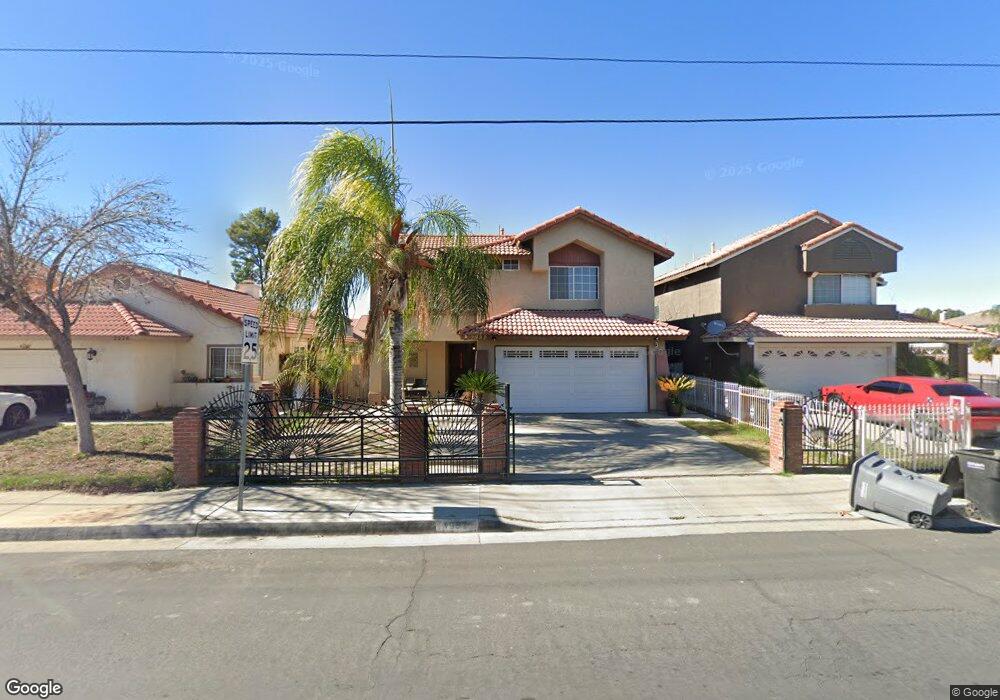
1982 Murrieta Rd Perris, CA 92571
Central Perris NeighborhoodEstimated Value: $481,257 - $530,000
3
Beds
3
Baths
1,800
Sq Ft
$285/Sq Ft
Est. Value
About This Home
This home is located at 1982 Murrieta Rd, Perris, CA 92571 and is currently estimated at $513,814, approximately $285 per square foot. 1982 Murrieta Rd is a home located in Riverside County with nearby schools including Clearwater Elementary School, Pinacate Middle School, and Perris High School.
Ownership History
Date
Name
Owned For
Owner Type
Purchase Details
Closed on
Nov 26, 2020
Sold by
Coronado Reyes M
Bought by
Coronado Reyes M and Coronado Soledad M
Current Estimated Value
Purchase Details
Closed on
Oct 20, 2004
Sold by
Coronado Reyes M and Coronado Soledad M
Bought by
Coronado Reyes M
Home Financials for this Owner
Home Financials are based on the most recent Mortgage that was taken out on this home.
Original Mortgage
$75,000
Interest Rate
5.74%
Mortgage Type
New Conventional
Create a Home Valuation Report for This Property
The Home Valuation Report is an in-depth analysis detailing your home's value as well as a comparison with similar homes in the area
Home Values in the Area
Average Home Value in this Area
Purchase History
| Date | Buyer | Sale Price | Title Company |
|---|---|---|---|
| Coronado Reyes M | -- | None Available | |
| Coronado Reyes M | -- | Commonwealth Title |
Source: Public Records
Mortgage History
| Date | Status | Borrower | Loan Amount |
|---|---|---|---|
| Closed | Coronado Reyes M | $75,000 |
Source: Public Records
Tax History Compared to Growth
Tax History
| Year | Tax Paid | Tax Assessment Tax Assessment Total Assessment is a certain percentage of the fair market value that is determined by local assessors to be the total taxable value of land and additions on the property. | Land | Improvement |
|---|---|---|---|---|
| 2025 | $2,525 | $209,690 | $44,127 | $165,563 |
| 2023 | $2,525 | $201,549 | $42,414 | $159,135 |
| 2022 | $2,496 | $197,598 | $41,583 | $156,015 |
| 2021 | $2,479 | $193,724 | $40,769 | $152,955 |
| 2020 | $2,449 | $191,738 | $40,351 | $151,387 |
| 2019 | $2,395 | $187,979 | $39,560 | $148,419 |
| 2018 | $2,293 | $184,294 | $38,785 | $145,509 |
| 2017 | $2,263 | $180,681 | $38,025 | $142,656 |
| 2016 | $2,219 | $177,139 | $37,280 | $139,859 |
| 2015 | $2,178 | $174,480 | $36,721 | $137,759 |
| 2014 | $2,130 | $171,063 | $36,002 | $135,061 |
Source: Public Records
Map
Nearby Homes
- 702 Clearwater Dr
- 2175 Willowbrook Ln
- 763 Anthirium Ave
- 507 Coudures Way
- 1033 Madera St
- 487 Lassa Way
- 575 Prairie Way
- 675 Camelia Dr
- 1142 Viscano Ct
- 702 Camelia Dr
- 2 Lemon Ave
- 1 Lemon Ave
- 484 Harvest Rd
- 1134 Everlasting Dr
- 1613 Edgefield Dr
- 1864 Havasu St
- 1753 Jade Ave
- 1630 Glenview Dr
- 2363 Cloverfield St
- 1924 English Oak Way
- 1976 Murrieta Rd
- 1990 Murrieta Rd
- 779 Citrus Ave
- 1970 Murrieta Rd
- 773 Citrus Ave
- 1965 Neptune Dr
- 1964 Murrieta Rd
- 766 Spinnaker Dr
- 767 Citrus Ave
- 2029 Murrieta Rd
- 2037 Murrieta Rd
- 1958 Murrieta Rd
- 2021 Murrieta Rd
- 1959 Neptune Dr
- 761 Citrus Ave
- 760 Spinnaker Dr
- 2013 Murrieta Rd
- 1952 Murrieta Rd
- 781 Cornflower Way
- 773 Cornflower Way