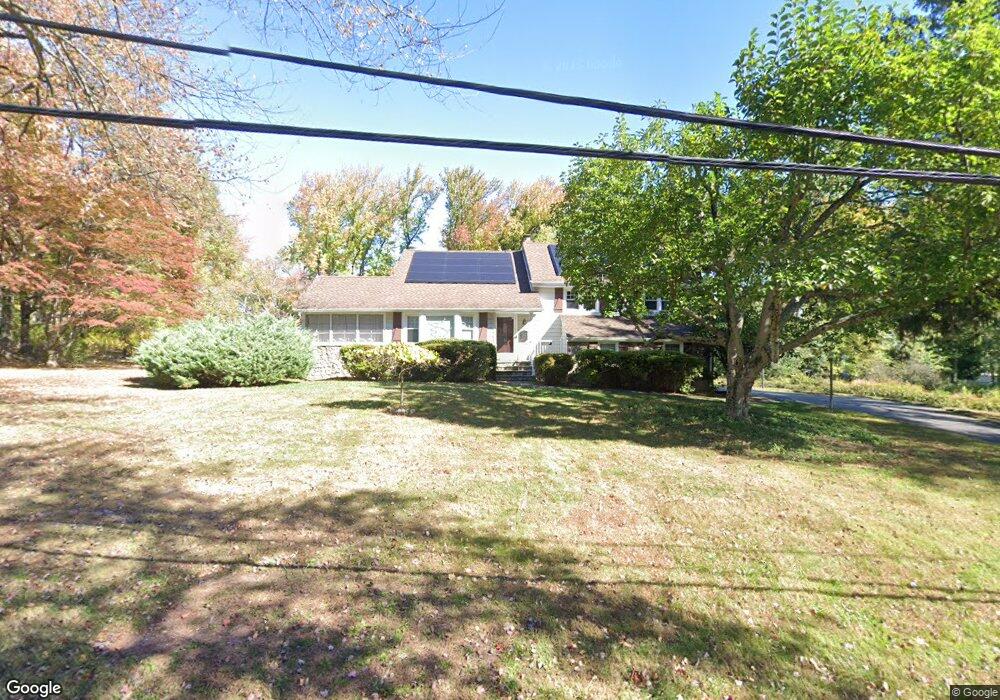
1984 Inverness Dr Scotch Plains, NJ 07076
Estimated Value: $711,753 - $1,318,000
--
Bed
--
Bath
1,930
Sq Ft
$566/Sq Ft
Est. Value
About This Home
This home is located at 1984 Inverness Dr, Scotch Plains, NJ 07076 and is currently estimated at $1,092,938, approximately $566 per square foot. 1984 Inverness Dr is a home located in Union County with nearby schools including William J. McGinn Elementary School, Terrill Middle School, and Scotch Plains-Fanwood High School.
Ownership History
Date
Name
Owned For
Owner Type
Purchase Details
Closed on
Sep 23, 2010
Sold by
Errazo Roberto and Errazo Emma
Bought by
Errazo Ross and Errazo Cristela
Current Estimated Value
Home Financials for this Owner
Home Financials are based on the most recent Mortgage that was taken out on this home.
Original Mortgage
$376,000
Outstanding Balance
$126,508
Interest Rate
4.36%
Mortgage Type
New Conventional
Estimated Equity
$966,430
Purchase Details
Closed on
Jun 26, 2003
Sold by
Squires Betty
Bought by
Errazo Roberto and Emma Errazo
Home Financials for this Owner
Home Financials are based on the most recent Mortgage that was taken out on this home.
Original Mortgage
$445,000
Interest Rate
5.53%
Create a Home Valuation Report for This Property
The Home Valuation Report is an in-depth analysis detailing your home's value as well as a comparison with similar homes in the area
Home Values in the Area
Average Home Value in this Area
Purchase History
| Date | Buyer | Sale Price | Title Company |
|---|---|---|---|
| Errazo Ross | -- | Main Street Title Settlement | |
| Errazo Roberto | $495,000 | -- |
Source: Public Records
Mortgage History
| Date | Status | Borrower | Loan Amount |
|---|---|---|---|
| Open | Errazo Ross | $376,000 | |
| Closed | Errazo Roberto | $445,000 |
Source: Public Records
Tax History Compared to Growth
Tax History
| Year | Tax Paid | Tax Assessment Tax Assessment Total Assessment is a certain percentage of the fair market value that is determined by local assessors to be the total taxable value of land and additions on the property. | Land | Improvement |
|---|---|---|---|---|
| 2025 | $16,346 | $138,900 | $54,300 | $84,600 |
| 2024 | $15,864 | $138,900 | $54,300 | $84,600 |
| 2023 | $15,864 | $138,900 | $54,300 | $84,600 |
| 2022 | $15,675 | $138,900 | $54,300 | $84,600 |
| 2021 | $15,648 | $138,900 | $54,300 | $84,600 |
| 2020 | $15,573 | $138,900 | $54,300 | $84,600 |
| 2019 | $15,458 | $138,900 | $54,300 | $84,600 |
| 2018 | $15,198 | $138,900 | $54,300 | $84,600 |
| 2017 | $14,861 | $138,900 | $54,300 | $84,600 |
| 2016 | $14,575 | $138,900 | $54,300 | $84,600 |
| 2015 | $14,336 | $138,900 | $54,300 | $84,600 |
| 2014 | $13,864 | $138,900 | $54,300 | $84,600 |
Source: Public Records
Map
Nearby Homes
- 2 Brookside Ct
- 1466 Lamberts Mill Rd
- 314 Highgate Ave
- 2154 W Broad St
- 119 Lamberts Mill Rd
- 1972 W Broad St
- 2 Dutch Ln
- 57 Rambling Dr
- 1933 Mary Ellen Ln
- 2116 Newark Ave
- 525 Edgar Rd
- 2 Unami Ln
- 608 Hort St
- 676 Vermont St
- 1840 Raritan Rd
- 1840 Lake Ave
- 1148 Tanglewood Ln
- 187 King St
- 1701 Raritan Rd
- 1380 Terrill Rd